Skull Mesa
- 4,579 ft
- summit
- 1
- way up
- Oct–May
- best months
Is Skull Mesa open right now?
Closure in the area
There's a closure order in Cave Creek Ranger District. It doesn't name Skull Mesa, so check the source for the area it covers.
Telegraph Line Trail (NFST 42) and NFST 1069 Emergency Closure for Public Safety
Agency closure covering Cave Creek Ranger District · Order 03-12-01-26-37 · USFS · Cave Creek Ranger District
Rattlesnake Cove Developed Recreation Site - Post Flood Recovery and Public Safety Closure
Agency alert covering Tonto National Forest · Order 3-12-01-26-36 · USFS · Tonto National Forest
Emergency Closure of Needle Rock and Box Bar Recreation Sites for Public Safety
Agency alert covering Cave Creek Ranger District · Order 03-12-01-26-32 · USFS · Cave Creek Ranger District
Riverside Post Fire Recovery and Safety Closure – Extension
Agency alert covering Cave Creek Ranger District · Order 03-12-01-26-24 · USFS · Cave Creek Ranger District
Canyon Lake Drawdown Public Safety Closure
Agency alert covering Tonto National Forest · Order 03-12-00-26-22 · USFS · Tonto National Forest
As of · Source: USFS · Cave Creek Ranger District. Agencies don't list every closure — check before you go.
Skull Mesa is a summit of 4,579 feet in the Cave Creek Ranger District of Tonto National Forest in Arizona, about 7 miles from the town of Carefree. It sits among a cluster of trails, with Quien Sabe just 0.3 miles away and Cave Creek about 2.5 miles off. Spring and fall are the most comfortable times to visit. Typical averages from a nearby weather station at Cordes, which sits roughly 800 feet lower, show April highs around 74°F and October highs near 79°F, while July averages climb to about 96°F. Several other trails lie within a few miles, including Limestone Trail #252 and Skunk Tank. For an overnight stay, CCC Campground is about 3.7 miles away, and the climbing at Little Granite Mountain is about 4.2 miles off.
Conditions and forecast
Daily highs and lows, wind and the chance of precipitation at the summit and route start for the next 7 days, from the Open-Meteo model.
- Summit elevation
- 4,579 ft
Elevation from USGS 3D Elevation Program terrain data (about 10 m resolution).
Map © Mapbox © OpenStreetMap contributors Questions about Skull Mesa
How tall is Skull Mesa?
4,579 ft (1,396 m).
How many routes go to the summit of Skull Mesa?
One: Skull Mesa.
When is the best time to climb Skull Mesa?
Year-round.
- Black Mountain3,395 ft · Arizona1 route8.0 mi away
- Daisy Mountain3,173 ft · Arizona1 route12 mi away
- Lousley Hill2,045 ft · Arizona1 route19 mi away
- Deem Hills2,103 ft · Arizona1 route20 mi away
 Thompson Peak3,983 ft · Arizona1 route20 mi awayPhoto: GreenGibbon, CC BY-SA 3.0 (via Wikimedia Commons)
- East Wing Mountain1,936 ft · Arizona1 route22 mi away
- Quien SabeHiking0.3 mi
- Cave CreekHiking2.5 mi
 Limestone Trail #252HikingPhoto: Sean Foster, CC BY 3.0 (via Wikimedia Commons)2.7 mi
- Skunk TankHiking2.8 mi
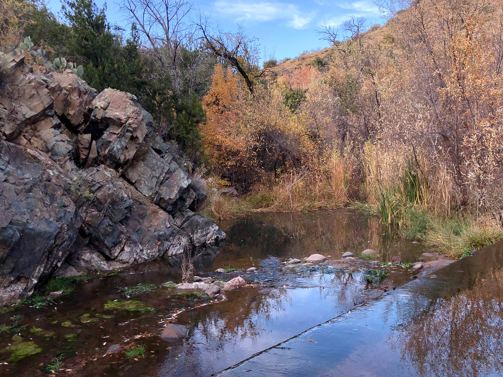 Cottonwood CreekHikingPhoto: Clay Gilliland, CC BY-SA 2.0 (via Flickr)3.2 mi
- CCC CampgroundCamping3.7 mi
- Cave Creek Group SiteCamping4 mi
- Little Granite MountainRock climbing4.2 mi
Source: Roamze catalog (indexable pages within 10 miles, PostGIS distance)
 Gavilan PeakSummit · ~22 min drivePhoto: Phoenix500, CC BY-SA 3.0 (via Wikimedia Commons)
- Thompson PeakSummit · ~35 min drivePhoto: GreenGibbon, CC BY-SA 3.0 (via Wikimedia Commons)
 North MountainSummit · ~44 min drivePhoto: Aznaturalist, CC BY-SA 3.0 (via Wikimedia Commons)
 Piestewa PeakSummit · ~46 min drivePhoto: Ted Eytan, CC BY-SA 2.0 (via Wikimedia Commons)
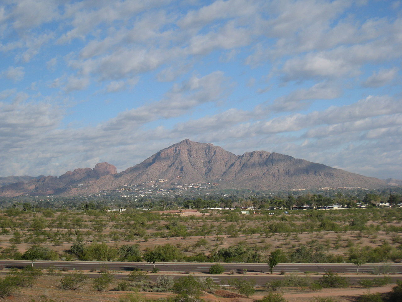 Camelback MountainSummit · ~49 min drivePhoto: Dru Bloomfield from Scottsdale, Arizona, USA, CC BY 2.0 (via Wikimedia Commons)
 Strawberry MountainSummit · ~1h 8m drivePhoto: Cogdog, CC BY-SA 3.0 (via Wikimedia Commons)
 Pass MountainSummit · ~1h drivePhoto: Z Glyph, CC BY 3.0 (via Wikimedia Commons)
- Black MountainSummit · ~14 min drive
- Daisy MountainSummit · ~20 min drive
- Pinnacle PeakSummit · ~24 min drive
Best time to visit Skull Mesa
Best months: October–May. Best months have typical highs of 55–85 °F, lows of 30 °F or warmer (32 °F where the station doesn't record snow), at most one snowy day and no more than 12 wet days.
Jan
59° / 33°
5 wet
Feb
61° / 35°
5 wet
Mar
67° / 38°
5 wet
Apr
74° / 42°
2 wet
May
83° / 50°
2 wet
Jun
93° / 58°
2 wet
Jul
96° / 66°
6 wet
Aug
94° / 66°
7 wet
Sep
89° / 60°
4 wet
Oct
79° / 49°
3 wet
Nov
67° / 39°
3 wet
Dec
58° / 33°
4 wet
Typical high / low (°F) and days with rain or snow, 1991–2020. Measured at Cordes, AZ, 30 mi away at 3,771 ft. The station sits about 800 ft lower than this place, so expect it a little cooler here. This station doesn't record snowfall. Source: NOAA NCEI U.S. Climate Normals 1991–2020.
