
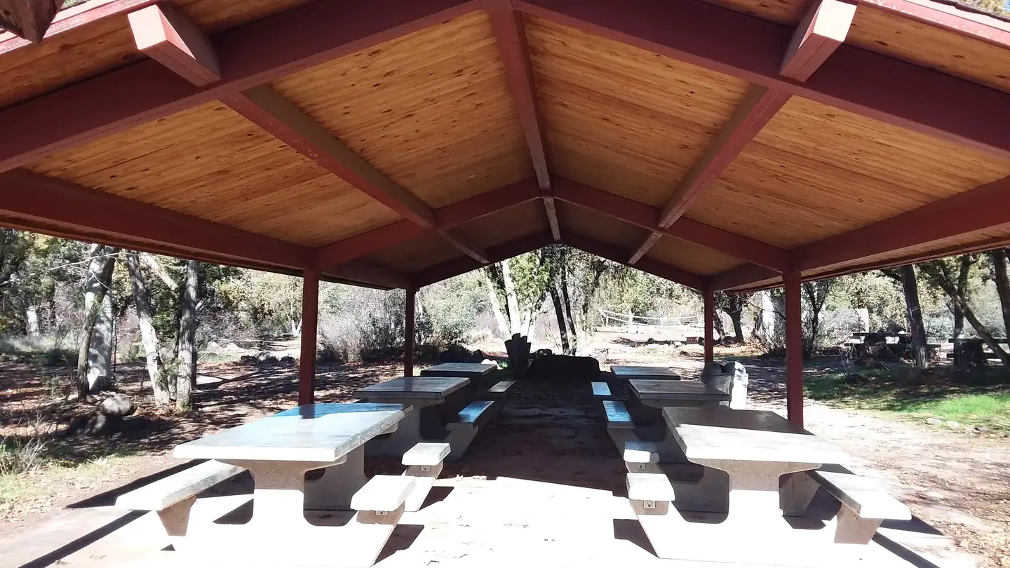
Black Canyon Campground
Hiking business nearby (~15 mi away) — hasn't claimed their Roamze page yet
Free — you'll pick up right here.
Watch this trail
Sign up to watch it — saving subscribes you to gate, closure and report changes.
Arizona
18.3 mi
Distance
1,008 ft
Gain
6h 37m
Time
We won't guess. Here is exactly what we do and don't know.
What we do know
Inside Tonto National Forest
2 managing-area boundaries mapped — agency alerts for them feed this page automatically.
Boundary data
What's missing
No access route mapped
We don't yet know which road reaches this trailhead, so we can't tell you if it's gated.
Nobody's filed a report here yet — be the first.
Why you'll love it
Cave Creek
AI-suggested draft · review before you go
No permit or access details on file for this trail — check with the local land manager before you go.
Cave Creek Trail is an 18.3-mile out-and-back route located in Arizona. The trail features 1,008 feet of elevation gain, making it a moderately challenging day hike for those seeking a longer adventure. The out-and-back format allows hikers to turn around at any point and customize their experience based on fitness level and available time. This trail offers access to the Cave Creek area, providing hikers with the opportunity to explore Arizona's diverse desert landscape. The moderate elevation gain is distributed throughout the journey, creating a steady climb rather than steep sections. The route is suitable for hikers with solid endurance and prior trail experience. Whether you're looking to complete the full 18.3-mile distance or enjoy a partial hike, Cave Creek Trail accommodates various skill levels and timeframes. The out-and-back design means you'll retrace your route on the return, giving you familiarity with the terrain on the way back. Plan accordingly for water and sun exposure in Arizona's climate.
Quien Sabe
~5 min drive
4.7 mi · Moderate
Skull Mesa
~6 min drive
8.2 mi · Hard
DFLT Seitts
~12 min drive
2.9 mi · Easy
9986E
~25 min drive
Quick out-and-back desert trail under 1 mile in Arizona.
Quail Springs Trail
~11 min drive
5.1 mi · Moderate
Skunk Tank
~7 min drive
9.6 mi · Hard
Black Canyon Trail Connector
~26 min drive
0.9 mi · Easy
9986A
~25 min drive
A short out-and-back desert hike in Arizona covering 2.79 miles.
Little Pan Loop
~26 min drive
A moderate 5.11-mile out-and-back trail in Arizona connected to the Black Canyon Trail system.
Cottonwood Creek
~9 min drive
20 mi · Hard
Local operatorsoffering guided trips. You book directly with them — Roamze doesn’t take a cut.
Black Canyon Campground
Hiking business nearby (~15 mi away) — hasn't claimed their Roamze page yet
Arizona Desert Mountain Jeep Tours
Hiking business nearby (~16 mi away) — hasn't claimed their Roamze page yet
VIP RV Resort
Hiking business nearby (~41 mi away) — hasn't claimed their Roamze page yet