Pinnacle Peak
- 3,135 ft
- summit
- Oct–Apr
- best months
Pinnacle Peak is a summit of 3,135 feet in Pinnacle Peak Park, about 3 miles from Scottsdale, Arizona. Its elevation makes it a compact objective for hikers, climbers and anyone looking to spend a few hours in the park close to town. Spring and fall are the most comfortable times to visit. Typical averages from a nearby weather station show April highs around 79°F with lows near 54°F, and October highs around 83°F with lows near 61°F. That station sits about 570 feet below the peak, so temperatures on top run a bit cooler. The peak sits right beside a cluster of climbing areas, including AMC Boulder and Cactus Flower West, each about 0.1 mile away, and Y-Crack Boulder at about 0.3 mile. The Pinacle Peak Trail is about 0.2 mile off for a hike.
Conditions and forecast
Daily highs and lows, wind and the chance of precipitation at the summit for the next 7 days, from the Open-Meteo model.
- Summit elevation
- 3,135 ft
Elevation from USGS 3D Elevation Program terrain data (about 10 m resolution).
We don't know of a mapped trail or route to the summit of Pinnacle Peak. Plan the approach with local maps, a guidebook or a local guide, and check conditions before you go.
Questions about Pinnacle Peak
How tall is Pinnacle Peak?
3,135 ft (956 m).
Is there a trail to the top of Pinnacle Peak?
We don't know of a mapped trail or route to the summit. Plan the approach with local maps, a guidebook or a local guide.
 Thompson Peak3,983 ft · Arizona1 route6.5 mi awayPhoto: GreenGibbon, CC BY-SA 3.0 (via Wikimedia Commons)
- Black Mountain3,395 ft · Arizona1 route7.5 mi away
- Lousley Hill2,045 ft · Arizona1 route9.5 mi away
- Skull Mesa4,579 ft · Arizona1 route14 mi away
 Piestewa Peak2,596 ft · Arizona1 route15 mi awayPhoto: Ted Eytan, CC BY-SA 2.0 (via Wikimedia Commons)
 North Mountain2,099 ft · Arizona1 route15 mi awayPhoto: Aznaturalist, CC BY-SA 3.0 (via Wikimedia Commons)
 AMC BoulderRock climbingPhoto: SocialMediaAdventure, CC BY 2.0 (via Flickr)0.1 mi
 Cactus Flower WestRock climbingPhoto: SocialMediaAdventure, CC BY 2.0 (via Flickr)0.1 mi
- Pinacle Peak TrailHiking0.2 mi
- Y-Crack BoulderRock climbing0.3 mi
 Cactus Flower EastRock climbingPhoto: SocialMediaAdventure, CC BY 2.0 (via Flickr)0.4 mi
- Latigo TrailHiking1.8 mi
- Rawhyde Wash TrailHiking1.9 mi
- Via Dona TrailHiking2.1 mi
Source: Roamze catalog (indexable pages within 10 miles, PostGIS distance)
- Thompson PeakSummit · ~11 min drivePhoto: GreenGibbon, CC BY-SA 3.0 (via Wikimedia Commons)
- Piestewa PeakSummit · ~26 min drivePhoto: Ted Eytan, CC BY-SA 2.0 (via Wikimedia Commons)
- North MountainSummit · ~26 min drivePhoto: Aznaturalist, CC BY-SA 3.0 (via Wikimedia Commons)
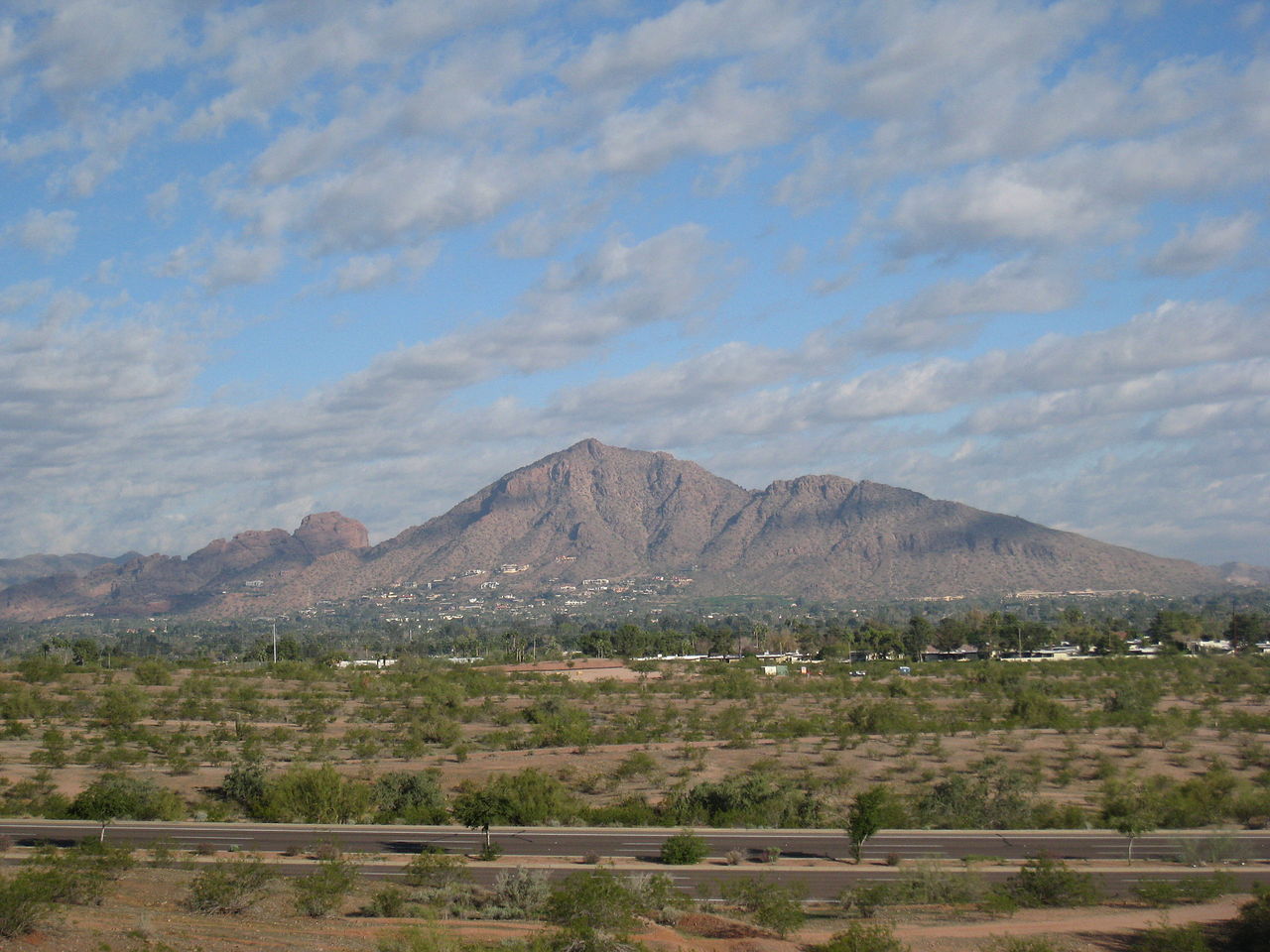 Camelback MountainSummit · ~27 min drivePhoto: Dru Bloomfield from Scottsdale, Arizona, USA, CC BY 2.0 (via Wikimedia Commons)
 Gavilan PeakSummit · ~33 min drivePhoto: Phoenix500, CC BY-SA 3.0 (via Wikimedia Commons)
 Pass MountainSummit · ~39 min drivePhoto: Z Glyph, CC BY 3.0 (via Wikimedia Commons)
- Black MountainSummit · ~13 min drive
- Lousley HillSummit · ~16 min drive
- Skull MesaSummit · ~24 min drive
- The Praying MonkSummit · ~27 min drive
Best time to visit Pinnacle Peak
Best months: October–April. Best months have typical highs of 55–85 °F, lows of 30 °F or warmer (32 °F where the station doesn't record snow), at most one snowy day and no more than 12 wet days.
Jan
64° / 43°
Feb
66° / 45°
Mar
72° / 49°
Apr
79° / 54°
May
87° / 62°
Jun
96° / 71°
Jul
99° / 76°
Aug
98° / 75°
Sep
94° / 71°
Oct
83° / 61°
Nov
72° / 50°
Dec
63° / 42°
Typical high / low (°F) and days with rain or snow, 1991–2020. Measured at Pinnacle Peak, AZ, 0.2 mi away at 2,565 ft. The station sits about 600 ft lower than this place, so expect it a little cooler here. This station doesn't record snowfall. Source: NOAA NCEI U.S. Climate Normals 1991–2020.

