Willow
- 2.8 mi
- round trip
- 125 ft
- climb
- 9,102 ft
- high point
- Out and back
- route
- Jun–Sep
- best months
Is Willow open right now?
Closure in the area
There's a closure order in Apache-Sitgreaves National Forests. It doesn't name Willow, so check the source for the area it covers (2 listed).
Temporary Emergency Closure
Agency closure covering Apache-Sitgreaves National Forests · Order 03-01-26-004 · USFS · Apache-Sitgreaves National Forests
Benny Creek Campground/Southfork Day Use Area Closure Order - Springerville Ranger District
Agency closure covering Apache-Sitgreaves National Forests · Order 03-01-25-06-004 · USFS · Apache-Sitgreaves National Forests
Forest Road Conditions Alert
Agency alert covering Apache-Sitgreaves National Forests · USFS · Apache-Sitgreaves National Forests
No Fire Restrictions
Agency alert covering Apache-Sitgreaves National Forests · USFS · Apache-Sitgreaves National Forests
As of · Source: USFS · Apache-Sitgreaves National Forests. Agencies don't list every closure — check before you go.
Willow is a short, easy out-and-back hike of about 2.8 miles in the Springerville Ranger District of the Apache-Sitgreaves National Forests in eastern Arizona. It's an all-season trail that rises about 125 feet from a low point of 8,876 feet to a high of 9,102 feet, so it's a gentle climb over a natural trail surface. Bikes and horses are both allowed, and the route is not accessible. The Forest Service manages the land, and the trail sits close to several other destinations. Willow is listed as a cross-country ski route, and Aspen, a nearby hike, lies about 0.3 miles away. Rolfe C. Hoyer Campground is about 2.5 miles off, and Benny Creek Campground is about 3.1 miles away. Summer is the most comfortable time to go. Typical July highs run about 71°F with lows in the mid-40s, based on averages from a nearby weather station at a similar elevation. Winter is cold, with typical January highs around 42°F and lows near 11°F.
Local outfitters
- Alpine Village RV Park24 mi away
Not on Roamze yet. Their page has how to reach them.
- WiilowCross-country skiing0.1 mi
- CedarMountain biking0.3 mi
- AspenHiking0.3 mi
- SpruceCross-country skiing0.4 mi
- Rolfe C. Hoyer CgCamping2.5 mi
- HoyerCamping2.6 mi
- Benny CreekCamping3.1 mi
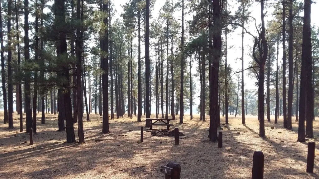 Benny Creek Group AreaCampingPhoto: Recreation.gov (RIDB) / public domain3.1 mi
Source: Roamze catalog (indexable pages within 10 miles, PostGIS distance)
 Mt Baldy CrossoverHiking · ~8 min drivePhoto: Clay Gilliland, CC BY-SA 2.0 (via Flickr)
 Lee Valley Reservoir TrailHiking · ~9 min drivePhoto: Greggens, CC BY-SA 4.0 (via Wikimedia Commons)
 PinyonHiking · ~4 min drivePhoto: WaterArchives.org from Sacramento, California, USA, CC BY-SA 2.0 (via Wikimedia Commons)
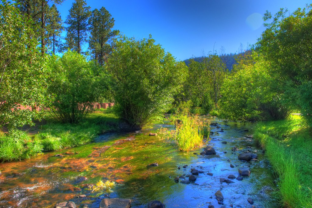 East ForkHiking · ~4 min drivePhoto: neepster, CC BY-SA 2.0 (via Flickr)
 Overland ConnectorHiking · ~16 min drivePhoto: Clay Gilliland, CC BY-SA 2.0 (via Flickr)
- East BaldyHiking · ~11 min drivePhoto: Greggens, CC BY-SA 4.0 (via Wikimedia Commons)
- West BaldyHiking · ~8 min drivePhoto: Clay Gilliland, CC BY-SA 2.0 (via Flickr)
 Big Lake NatureHiking · ~19 min drivePhoto: USDAgov, Public Domain Mark (via Flickr)
- Apache VistaHiking · ~15 min drivePhoto: Clay Gilliland, CC BY-SA 2.0 (via Flickr)
- Indian SpringsHiking · ~20 min drivePhoto: USDAgov, Public Domain Mark (via Flickr)
Best time to visit Willow
Best months: June–September. Best months have typical highs of 55–85 °F, lows of 30 °F or warmer (32 °F where the station doesn't record snow), at most one snowy day and no more than 12 wet days.
Jan
42° / 11°
Feb
42° / 15°
Mar
46° / 21°
Apr
53° / 25°
May
62° / 31°
Jun
71° / 37°
Jul
71° / 44°
Aug
70° / 43°
Sep
67° / 37°
Oct
60° / 27°
Nov
51° / 21°
Dec
42° / 14°
Typical high / low (°F) and days with rain or snow, 1991–2020. Measured at Sunrise Mtn, AZ, 5.1 mi away at 9,370 ft. This station doesn't record snowfall. Source: NOAA NCEI U.S. Climate Normals 1991–2020.
