West Baldy
 Photo: Clay Gilliland, CC BY-SA 2.0 (via Flickr)
- 16.0 mi
- round trip
- 1,737 ft
- climb
- 11,193 ft
- high point
- Out and back
- route
Caution today
Agency alerts are in effect for this area; weather is good · USFS, OpenWeather · checked 5 h ago
Is West Baldy open right now?
Closure in the area
There's a closure order in Apache-Sitgreaves National Forests. It doesn't name West Baldy, so check the source for the area it covers (2 listed).
Temporary Emergency Closure
Agency closure covering Apache-Sitgreaves National Forests · Order 03-01-26-004 · USFS · Apache-Sitgreaves National Forests
Benny Creek Campground/Southfork Day Use Area Closure Order - Springerville Ranger District
Agency closure covering Apache-Sitgreaves National Forests · Order 03-01-25-06-004 · USFS · Apache-Sitgreaves National Forests
Forest Road Conditions Alert
Agency alert covering Apache-Sitgreaves National Forests · USFS · Apache-Sitgreaves National Forests
No Fire Restrictions
Agency alert covering Apache-Sitgreaves National Forests · USFS · Apache-Sitgreaves National Forests
As of · Source: USFS · Apache-Sitgreaves National Forests. Agencies don't list every closure — check before you go.
West Baldy is a hard hike in the Mount Baldy Wilderness, part of the Springerville Ranger District of the Apache-Sitgreaves National Forests in eastern Arizona. The Forest Service manages the land, and the trail is a natural-surface out-and-back that climbs from about 9,225 feet to about 11,193 feet, with a total elevation gain of 1,737 feet over roughly 16 miles. The route is not accessible, and bikes are not allowed. The trail lies entirely within designated wilderness, so plan for a backcountry experience. Mt Baldy Crossover starts just 0.2 miles away, and West Fork (Lc) is about 1.2 miles off. For an overnight base, Winn campground sits about 1.9 miles away, and Rolfe C. Hoyer Campground is about 6.3 miles away.
Local outfitters
- Alpine Village RV Park23 mi away
Not on Roamze yet. Their page has how to reach them.
- Mt Baldy CrossoverHikingPhoto: Clay Gilliland, CC BY-SA 2.0 (via Flickr)0.2 mi
 West Fork (Lc)HikingPhoto: Clay Gilliland, CC BY-SA 2.0 (via Flickr)1.2 mi
 Lee Valley Reservoir TrailHikingPhoto: Greggens, CC BY-SA 4.0 (via Wikimedia Commons)1.5 mi
- Railroad GradeMountain biking1.6 mi
- WinnCamping1.9 mi
- Rolfe C. Hoyer CgCamping6.3 mi
- HoyerCamping6.7 mi
- Benny CreekCamping7.1 mi
Source: Roamze catalog (indexable pages within 10 miles, PostGIS distance)
- Mt Baldy CrossoverHiking · Next doorPhoto: Clay Gilliland, CC BY-SA 2.0 (via Flickr)
- Lee Valley Reservoir TrailHiking · ~3 min drivePhoto: Greggens, CC BY-SA 4.0 (via Wikimedia Commons)
- East BaldyHiking · ~4 min drivePhoto: Greggens, CC BY-SA 4.0 (via Wikimedia Commons)
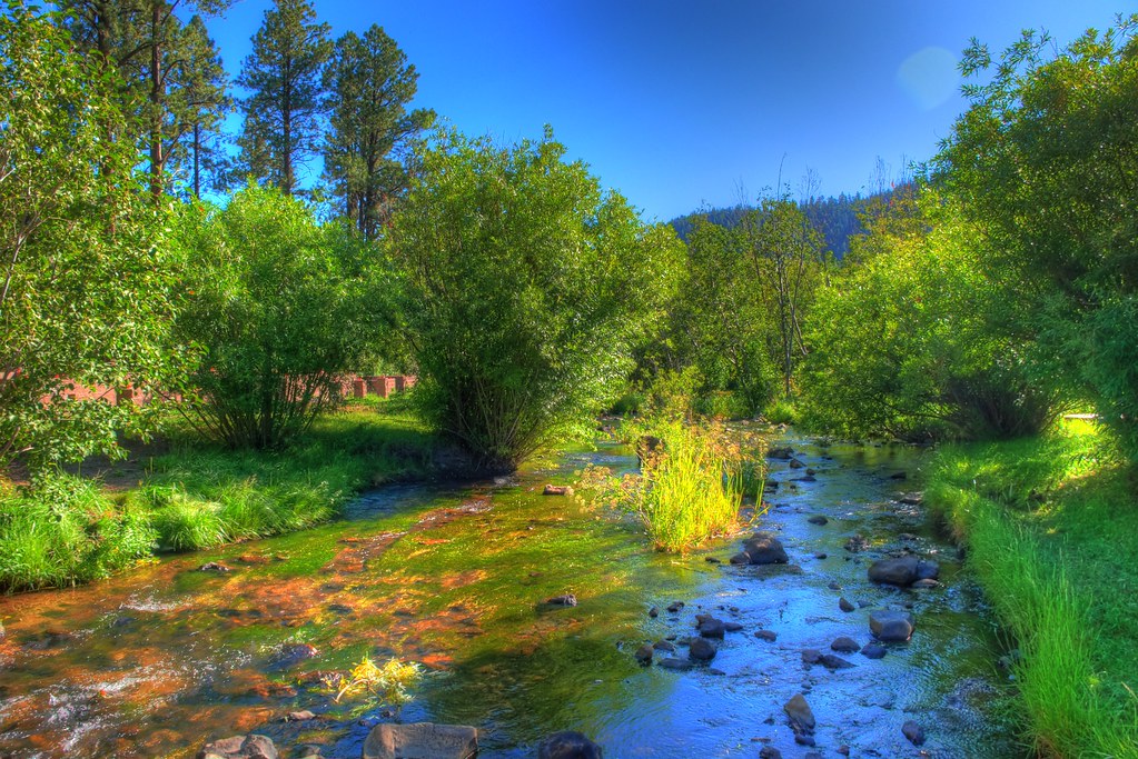 East ForkHiking · ~7 min drivePhoto: neepster, CC BY-SA 2.0 (via Flickr)
 Big Lake NatureHiking · ~14 min drivePhoto: USDAgov, Public Domain Mark (via Flickr)
 PinyonHiking · ~11 min drivePhoto: WaterArchives.org from Sacramento, California, USA, CC BY-SA 2.0 (via Wikimedia Commons)
- Indian SpringsHiking · ~15 min drivePhoto: USDAgov, Public Domain Mark (via Flickr)
- Big Lake LookoutHiking · ~16 min drivePhoto: USDAgov, Public Domain Mark (via Flickr)
 Apache VistaHiking · ~19 min drivePhoto: Clay Gilliland, CC BY-SA 2.0 (via Flickr)
- Pack Trail?Hiking · ~8 min drive
