Pinyon
 Photo: WaterArchives.org from Sacramento, California, USA, CC BY-SA 2.0 (via Wikimedia Commons)
- 4.7 mi
- round trip
- 713 ft
- climb
- 8,996 ft
- high point
- Out and back
- route
- May–Jun, Sep
- best months
Is Pinyon open right now?
Closure in the area
There's a closure order in Apache-Sitgreaves National Forests. It doesn't name Pinyon, so check the source for the area it covers.
Benny Creek Campground/Southfork Day Use Area Closure Order - Springerville Ranger District
Agency closure covering Apache-Sitgreaves National Forests · Order 03-01-25-06-004 · USFS · Apache-Sitgreaves National Forests
Forest Road Conditions Alert
Agency alert covering Apache-Sitgreaves National Forests · USFS · Apache-Sitgreaves National Forests
No Fire Restrictions
Agency alert covering Apache-Sitgreaves National Forests · USFS · Apache-Sitgreaves National Forests
As of · Source: USFS · Apache-Sitgreaves National Forests. Agencies don't list every closure — check before you go.
Pinyon is a 4.7-mile out-and-back hike in the Springerville Ranger District of the Apache-Sitgreaves National Forests in eastern Arizona. The trail rises 713 feet from a low point of 8,283 feet to a high of 8,996 feet, and the Forest Service manages the surrounding land. The route is rated moderate. The trail is natural-surface and allows both bikes and horses. It is not an accessible trail. For comfortable conditions, aim for late spring or early fall. Typical averages from a nearby weather station at Greer run from highs around 66°F in May to 70°F in September. July and August are the wettest months, with roughly 14 to 16 wet days each. Several places sit close by. Hoyer campground and the Fir cross-country ski area are each about 0.1 mile away, Ponderosa hike is about 0.5 mile off, and Benny Creek campground is about 0.6 mile away.
Local outfitters
- Alpine Village RV Park23 mi away
Not on Roamze yet. Their page has how to reach them.
Best time to go · May–Jun, Sep
Best time to visit Pinyon
Best months: May–June and September. Best months have typical highs of 55–85 °F, lows of 30 °F or warmer (32 °F where the station doesn't record snow), at most one snowy day and no more than 12 wet days.
Jan
43° / 14°
5 wet
Feb
45° / 16°
5 wet
Mar
50° / 22°
5 wet
Apr
57° / 26°
3 wet
May
66° / 33°
4 wet
Jun
76° / 41°
5 wet
Jul
76° / 47°
14 wet
Aug
73° / 46°
16 wet
Sep
70° / 41°
8 wet
Oct
61° / 30°
5 wet
Nov
51° / 21°
4 wet
Dec
43° / 14°
5 wet
Typical high / low (°F) and days with rain or snow, 1991–2020. Measured at Greer, AZ, 1.4 mi away at 8,275 ft. The station sits about 700 ft lower than this place, so expect it a little cooler here. This station doesn't record snowfall. Source: NOAA NCEI U.S. Climate Normals 1991–2020.
Keep exploring — more trails worth the drive
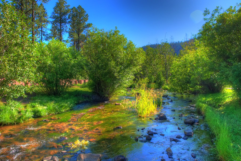 Photo: neepster, CC BY-SA 2.0 (via Flickr)
East Fork
~5 min drive
East Fork is a 15-mile out-and-back trail in Arizona with 955 ft of elevation gain.
 Photo: Clay Gilliland, CC BY-SA 2.0 (via Flickr)
South Fork
~10 min drive
South Fork is an 11.98-mile out-and-back trail in Arizona with 95 feet of elevation gain.
 Photo: Greggens, CC BY-SA 4.0 (via Wikimedia Commons)
East Baldy
~14 min drive
East Baldy is an 11.86-mile out-and-back trail in Arizona with 1,641 feet of elevation gain.
 Photo: Clay Gilliland, CC BY-SA 2.0 (via Flickr)
West Baldy
~11 min drive
15.96-mile out-and-back trail in Arizona with 1,737 ft elevation gain.
 Photo: Clay Gilliland, CC BY-SA 2.0 (via Flickr)
West Fork (Lc)
~10 min drive
10.72-mile out-and-back trail in Arizona with 40 ft elevation gain.
Photo: Clay Gilliland, CC BY-SA 2.0 (via Flickr)Apache Vista
~11 min drive
2.52-mile loop trail in Arizona with 74 ft of elevation gain.
Photo: Clay Gilliland, CC BY-SA 2.0 (via Flickr)Mt Baldy Crossover
~12 min drive
7.00-mile out-and-back trail in Arizona with 397 ft gain.
Photo: Greggens, CC BY-SA 4.0 (via Wikimedia Commons)Lee Valley Reservoir Trail
~12 min drive
1.38-mile loop with 194 ft elevation gain and loss at Lee Valley Reservoir Trail, Arizona
HIKE
Pole Knoll
~5 min drive
6.15-mile loop hike in Arizona with 357 ft elevation gain.
HIKE
Flat Top
~18 min drive
7.01-mile out-and-back trail in Arizona with 380 ft of elevation gain.
