Gordon Hirabayashi Campground
Campground
Campground · 2.4 mi from the trail
Closure in the area
There's a closure order in Santa Catalina Ranger District. It doesn't name Sycamore Basin Link Trail #29A, so check the source for the area it covers.
Marshall Gulch Closure Order
Agency closure covering Santa Catalina Ranger District · Order 03-05-05-26-009 · USFS · Santa Catalina Ranger District
Border Barrier Construction Closure
Agency alert covering Coronado National Forest · Order 03-05-00-26-011 · USFS · Coronado National Forest
No Fire Restrictions
Agency alert covering Coronado National Forest · USFS · Coronado National Forest
Barfoot Snake Closure Order 03-05-01-24-004
Agency alert covering Coronado National Forest · USFS · Coronado National Forest
As of · Source: USFS · Santa Catalina Ranger District. Agencies don't list every closure — check before you go.
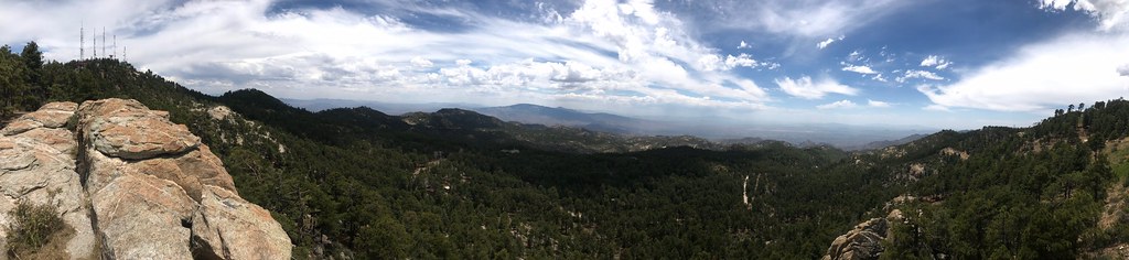
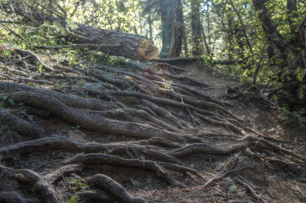
The Sycamore Basin Link Trail #29A is an easy out-and-back hike in Arizona's Pusch Ridge Wilderness, within the Santa Catalina Ranger District of Coronado National Forest. The trail is short, under a mile long, with a total elevation gain of about 280 feet. It starts and ends at a low point of 4,478 feet and reaches a high of 4,757 feet. The climb is front-loaded, with the steepest stretch at about 0.24 miles in, where the grade reaches 20 percent. Spring and fall are the most comfortable times to go. Typical averages from a nearby weather station show April highs around 71°F with lows near 46°F and October highs around 77°F. Summer is hot, with July highs near 91°F and August bringing the most wet days of the year. The trail is close to other destinations. Sycamore Reservoir is about 0.1 mile away, and East Fork Trail #24A is about 0.3 mile away. Climbers can find the King and Knight areas about 2 miles off, and Gordon Hirabayashi Campground is about 2.4 miles away.
Gordon Hirabayashi Campground
Campground
Butler Hall
Fast food
Wildlife Viewing Area
Viewpoint
Places © OpenStreetMap contributors
More in Oracle KingRock climbingPhoto: Outdoor Craziness, CC BY-SA 3.0 (via Wikimedia Commons)2 miKnightRock climbingPhoto: Outdoor Craziness, CC BY-SA 3.0 (via Wikimedia Commons)2 mi
 One Day WallRock climbingPhoto: Joe Passe, CC BY-SA 2.0 (via Flickr)2 mi
Source: Roamze catalog (indexable pages within 10 miles, PostGIS distance)
 Sabino CanyonHiking · ~3 min drivePhoto: Kantiki, CC BY-SA 3.0 (via Wikimedia Commons)
 PalisadeHiking · ~6 min drivePhoto: 666isMONEY ☮ ♥ & ☠, CC BY 2.0 (via Flickr)
 Molino Basin Trail #11Hiking · ~7 min drivePhoto: theojones2, Public Domain Dedication (CC0) (via Flickr)Sabino HistoricHiking · ~3 min drivePhoto: Kantiki, CC BY-SA 3.0 (via Wikimedia Commons)
 Babad Do'agHiking · ~6 min drivePhoto: Tanque Verde, CC BY 2.0 (via Flickr)
 Bug Springs TrailHiking · ~7 min drivePhoto: theojones2, Public Domain Dedication (CC0) (via Flickr)
 Box Spring Trail #22AHiking · ~6 min drivePhoto: dennyforreal, CC BY 2.0 (via Flickr)
 PhonelineHiking · ~8 min drivePhoto: H. Michael Miley, CC BY-SA 2.0 (via Flickr)
 Blacketts RidgeHiking · ~7 min drivePhoto: treegrow, CC BY 2.0 (via Flickr)
 Rose Canyon LakeHiking · ~6 min drivePhoto: 666isMONEY ☮ ♥ & ☠, CC BY 2.0 (via Flickr)
Best months: October–May. Best months have typical highs of 55–85 °F, lows of 30 °F or warmer (32 °F where the station doesn't record snow), at most one snowy day and no more than 12 wet days.
Jan
56° / 35°
6 wet
Feb
58° / 37°
6 wet
Mar
64° / 42°
6 wet
Apr
71° / 46°
3 wet
May
82° / 56°
2 wet
Jun
92° / 66°
3 wet
Jul
91° / 69°
9 wet
Aug
90° / 67°
11 wet
Sep
86° / 63°
7 wet
Oct
77° / 52°
4 wet
Nov
64° / 42°
4 wet
Dec
55° / 36°
5 wet
Typical high / low (°F) and days with rain or snow, 1991–2020. Measured at Oracle 2 Se, AZ, 17.1 mi away at 4,510 ft. This station doesn't record snowfall. Source: NOAA NCEI U.S. Climate Normals 1991–2020.
Map and trail data © OpenStreetMap contributors

