Loading…

Free — you'll pick up right here.
Watch this trail
Sign up to watch it — saving subscribes you to gate, closure and report changes.
Arizona
2.8 mi
Distance
330 ft
Gain
1h 5m
Time
We won't guess. Here is exactly what we do and don't know.
What we do know
Inside Coronado National Forest
3 managing-area boundaries mapped — agency alerts for them feed this page automatically.
Boundary data
What's missing
No access route mapped
We don't yet know which road reaches this trailhead, so we can't tell you if it's gated.
Nobody's filed a report here yet — be the first.
Why you'll love it
Jones Ridge Trail #365
AI-suggested draft · review before you go
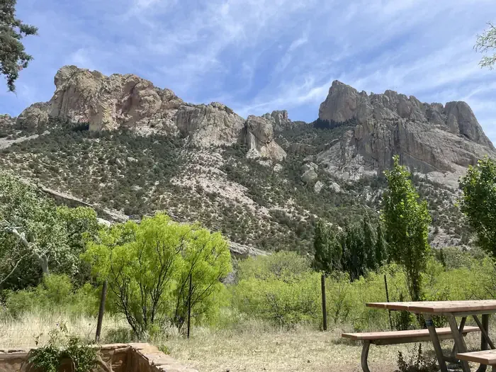
Jones Ridge Trail #365 is a 2.8-mile out-and-back trail located in Arizona, managed by the U.S. Forest Service. The route features 330 feet of elevation gain, making it a moderate hike suitable for a range of fitness levels. This trail offers hikers an opportunity to explore Forest Service-managed lands in Arizona. The out-and-back format allows visitors to turn around at any point, making it flexible for different time constraints and preferences. The steady elevation gain is distributed across the roundtrip distance, providing a gradual ascent without extreme steep sections. The trail is maintained by the U.S. Forest Service, ensuring regular upkeep of the path and trailhead facilities. Jones Ridge Trail #365 is numbered within the Forest Service trail system, making it easy to locate on official maps and signage. This hike can typically be completed in a few hours depending on pace and rest breaks. It's a good option for hikers seeking a moderate-distance trail with modest elevation change in the Arizona region.
Horseshoe Ridge Trail #282
~0 min drive
7.2 mi · Moderate
Sentinel Peak Trail
~1 min drive
0.1 mi · Easy
Snowshed Trail #246
~5 min drive
17 mi · Hard
Price Canyon Trail #224
~1 min drive
11 mi · Moderate
Burnt Stump Trail #366
~1 min drive
0.9 mi · Easy
Price Shake
~6 min drive
6.9 mi · Hard
Crest Trail #270C
~2 min drive
8.9 mi · Moderate
Ojo Agua Fria
~6 min drive
A 2-mile out-and-back singletrack in Arizona that connects to the Crest Trail and Chiricahua Peak Bypass Trail.
Green House
~8 min drive
6.5 mi · Hard
Rucker Trail #222
~2 min drive
9.4 mi · Moderate