Loading…

Free — you'll pick up right here.
Watch this trail
Sign up to watch it — saving subscribes you to gate, closure and report changes.
Arizona
5.4 mi
Distance
1,758 ft
Gain
2h 40m
Time
We won't guess. Here is exactly what we do and don't know.
What we do know
Inside Coronado National Forest
3 managing-area boundaries mapped — agency alerts for them feed this page automatically.
Boundary data
What's missing
No access route mapped
We don't yet know which road reaches this trailhead, so we can't tell you if it's gated.
Nobody's filed a report here yet — be the first.
Why you'll love it
Baker Canyon Trail #225
AI-suggested draft · review before you go
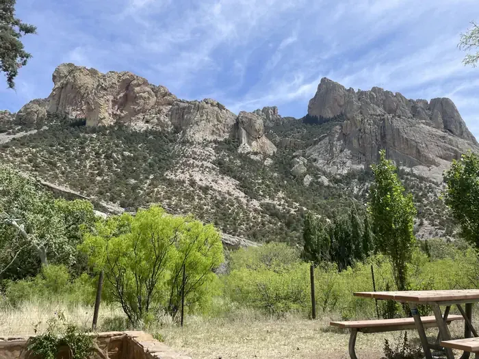
Baker Canyon Trail #225 is a 5.4-mile out-and-back trail located in Arizona and managed by the U.S. Forest Service. The trail features 1,758 feet of elevation gain, making it a moderately challenging hike suitable for hikers with some experience. The out-and-back route allows you to turn around at any point, giving you flexibility to adjust the difficulty based on your fitness level and available time. With over 1,700 feet of elevation gain spread across 5.4 miles, expect steady climbing throughout your hike. This trail offers access to Baker Canyon and the surrounding forest landscape managed by the U.S. Forest Service. The elevation gain provides opportunities for views as you ascend through the canyon environment. Before heading out, check with the U.S. Forest Service for current trail conditions, seasonal closures, and any permits or restrictions that may apply. Bring plenty of water, as Arizona trails can be hot and dry. The out-and-back format means your total distance will be 10.8 miles if you hike to the full turnaround point and back.
Horseshoe Ridge Trail #282
~0 min drive
7.2 mi · Moderate
Sentinel Peak Trail
~1 min drive
0.1 mi · Easy
Snowshed Trail #246
~5 min drive
17 mi · Hard
Price Canyon Trail #224
~1 min drive
11 mi · Moderate
Burnt Stump Trail #366
~1 min drive
0.9 mi · Easy
Price Shake
~6 min drive
6.9 mi · Hard
Crest Trail #270C
~2 min drive
8.9 mi · Moderate
Ojo Agua Fria
~6 min drive
A 2-mile out-and-back singletrack in Arizona that connects to the Crest Trail and Chiricahua Peak Bypass Trail.
Green House
~8 min drive
6.5 mi · Hard
Rucker Trail #222
~2 min drive
9.4 mi · Moderate