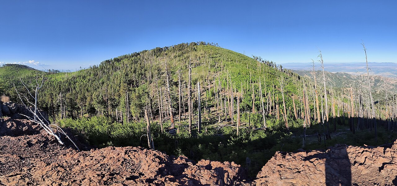
Hughes Tank
- 2.6 mi
- round trip
- 523 ft
- climb
- 6,460 ft
- high point
- Out and back
- route
- Mar–May, Aug–Nov
- best months
Is Hughes Tank open right now?
Alert in the area
The Forest Service lists 3 alerts for Coronado National Forest.
Border Barrier Construction Closure
Agency alert covering Coronado National Forest · Order 03-05-00-26-011 · USFS · Coronado National Forest
No Fire Restrictions
Agency alert covering Coronado National Forest · USFS · Coronado National Forest
Barfoot Snake Closure Order 03-05-01-24-004
Agency alert covering Coronado National Forest · USFS · Coronado National Forest
As of · Source: USFS · Coronado National Forest. Agencies don't list every closure — check before you go.
Hughes Tank is an easy out-and-back hike in the Chiricahua Wilderness, part of the Douglas Ranger District of Coronado National Forest in southeastern Arizona. The trail is managed by the Forest Service and sits within designated wilderness, about 2.6 miles long with a one-way climb of 523 feet from a low point of about 5,924 feet to a high of about 6,460 feet. Spring and fall are the most comfortable times to go. Typical averages from a nearby weather station at Paradise, AZ, run to highs around 72°F in April and 74°F in October, while June highs average about 90°F and winter lows dip into the mid-20s. The trail is natural-surface and allows horses, and it is not accessible. Bikes are not allowed. Rock Creek Trail #259 is about 0.7 miles away, and Witch Ridge and Turkey Pen are mountain biking routes within about a mile and a half. Sycamore campground is about 3 miles off.
- Rock Creek Trail #259Hiking0.7 mi
- Witch RidgeMountain biking1.1 mi
- Turkey PenMountain biking1.4 mi
- Trail #260AHiking1.5 mi
- SycamoreCamping3.1 mi
- Rustler ParkCamping5 mi
- Herb MartyrCamping7.8 mi
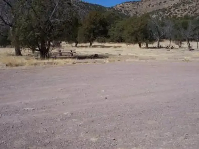 Camp Rucker Group SiteCampingPhoto: Recreation.gov (RIDB) / public domain9.8 mi
Source: Roamze catalog (indexable pages within 10 miles, PostGIS distance)
 Long Park Trail #42DHiking · ~8 min drivePhoto: Jon Roanhaus, CC BY-SA 4.0 (via Wikimedia Commons)
- Rock Creek Trail #259Hiking · ~1 min drive
- Trail #260AHiking · ~2 min drive
- SaulsburyHiking · ~4 min drive
 Barfoot Lookout TrailHiking · ~9 min drivePhoto: treegrow, CC BY 2.0 (via Flickr)
- Pole BridgeHiking · ~5 min drive
- Fitch CorralHiking · ~3 min drive
- Turkey SpurHiking · ~3 min drive
- Mormon CanyonHiking · ~5 min drive
- Green Canyon Trail #272Hiking · ~6 min drive
Best time to visit Hughes Tank
Best months: March–May and August–November. Best months have typical highs of 55–85 °F, lows of 30 °F or warmer (32 °F where the station doesn't record snow), at most one snowy day and no more than 12 wet days.
Jan
54° / 24°
Feb
58° / 28°
Mar
65° / 33°
Apr
72° / 39°
May
81° / 46°
Jun
90° / 55°
Jul
87° / 61°
Aug
84° / 58°
Sep
80° / 53°
Oct
74° / 42°
Nov
63° / 32°
Dec
54° / 26°
Typical high / low (°F) and days with rain or snow, 1991–2020. Measured at Paradise, AZ, 9 mi away at 5,460 ft. The station sits about 1,000 ft lower than this place, so expect it a little cooler here. This station doesn't record snowfall. Source: NOAA NCEI U.S. Climate Normals 1991–2020.