Witch Ridge
- 13.0 mi
- distance
- 3,272 ft
- climb
Is Witch Ridge open right now?
Alert in the area
The Forest Service lists 3 alerts for Coronado National Forest.
Border Barrier Construction Closure
Agency alert covering Coronado National Forest · Order 03-05-00-26-011 · USFS · Coronado National Forest
No Fire Restrictions
Agency alert covering Coronado National Forest · USFS · Coronado National Forest
Barfoot Snake Closure Order 03-05-01-24-004
Agency alert covering Coronado National Forest · USFS · Coronado National Forest
As of · Source: USFS · Coronado National Forest. Agencies don't list every closure — check before you go.
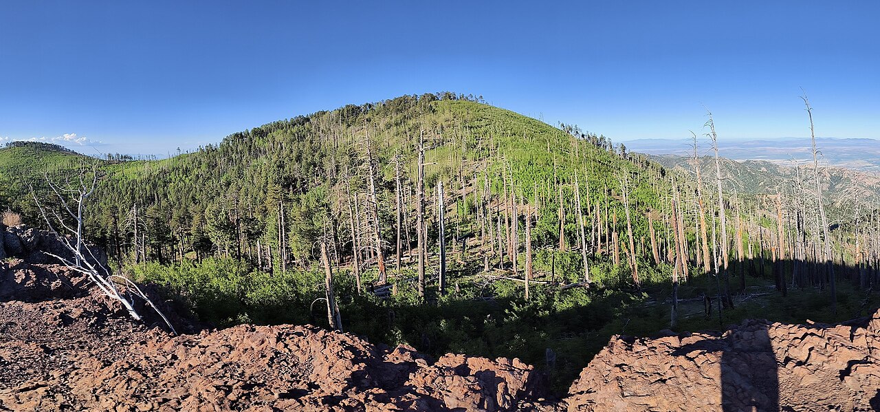
Witch Ridge is a mountain biking route in the Douglas Ranger District of Coronado National Forest in Arizona, managed by the Forest Service. The ride starts at about 5,229 feet and climbs to roughly 7,440 feet over 13 miles, with a total elevation gain of 3,272 feet. The steepest stretch comes at about 8.4 miles in, where the grade reaches 20%. The route also has a total descent of about 1,200 feet, so it's a long, rolling climb rather than a straight ascent. The North Witch Trail #258 lies less than a mile away, and the Middle Witch and Fife Canyon trails are within about 2 miles. For an overnight stay, Sycamore Campground is about 8.6 miles off.
- North Witch Trail #258Hiking0.9 mi
- Middle WitchHiking1.5 mi
- Fife CanyonHiking2.2 mi
- Green Canyon Trail #272Hiking4 mi
- Bonita Creek LoopHiking4 mi
- GREEN CANYONHiking4 mi
- SycamoreCamping8.6 mi
- Rustler ParkCamping9.1 mi
Source: Roamze catalog (indexable pages within 10 miles, PostGIS distance)
 Hughes TankMountain biking · ~3 min drivePhoto: jacobogre, CC BY-SA 4.0 (via Wikimedia Commons)
- Turkey SpurMountain biking · ~5 min drivePhoto: jacobogre, CC BY-SA 4.0 (via Wikimedia Commons)
- Rock CreekMountain biking · ~6 min drivePhoto: jacobogre, CC BY-SA 4.0 (via Wikimedia Commons)
- SaulsburyMountain biking · ~7 min drivePhoto: jacobogre, CC BY-SA 4.0 (via Wikimedia Commons)
- Fitch CorralMountain biking · ~3 min drive
- Turkey PenMountain biking · ~4 min drive
- RattlesnakeMountain biking · ~5 min drive
- Saulsbury Saddle Trail #263AMountain biking · ~6 min drive
- Saulsbury Trail #263Mountain biking · ~7 min drive
- BootleggerMountain biking · ~7 min drive

Map and trail data © OpenStreetMap contributors
