Water Canyon
At a glance
Water Canyon is a hike in the Withington Wilderness, part of the Magdalena Ranger District of Cibola National Forest in New Mexico. The trail is an out-and-back route of about 8 miles, with a one-way climb of roughly 2,400 feet. Spring and fall are the most comfortable times to go. Typical averages from a nearby weather station at Augustine put May highs around 72°F and September highs around 75°F, while July and August bring the most wet days of the year. Several other trails lie within a few miles. The Link Trail is about 2.3 miles away, and Rosedale and Big Rosa are both within about 3.5 miles. Climbers can head to the Socorro Area, about 3.7 miles off.
- round trip
- 4.1 mi
- climb
- 2,383 ft
- route
- Out and back
- difficulty
- Hard
Where it is: Withington Wilderness · Magdalena Ranger District
Near: Magdalena
When to go
Best time to go: Apr–Oct. The mildest months here, with typical highs of 63–82°F and lows of 31–56°F.
Typical monthly averages (not a forecast) from the Augustine 2e, NM weather station, 19 mi away. High / low in °F, and days with snow.
- Jan46° high17° low1 days with snow
- Feb49° high21° low1 days with snow
- Mar56° high25° low
- Apr63° high31° low
- May72° high40° low
- Jun82° high49° low
- Jul82° high56° low
- Aug80° high54° low
- Sep75° high46° low
- Oct66° high34° low
- Nov55° high23° low
- Dec46° high16° low1 days with snow
Been here? Tell people how it was.
- Link TrailHiking2.3 mi
- RosedaleHiking2.9 mi
- Big RosaHiking3.3 mi
- Water Canyon TrailHiking3.5 mi
- Socorro AreaRock climbing3.7 mi
 Potato CanyonHikingPhoto: Ken Lund from Reno, Nevada, USA, CC BY-SA 2.0 (via Wikimedia Commons)4 mi
- Forest 330 RoadHiking4.3 mi
- ChimneyHikingPhoto: Ken Lund from Reno, Nevada, USA, CC BY-SA 2.0 (via Wikimedia Commons)4.3 mi
- Potato CanyonHikingPhoto: Ken Lund from Reno, Nevada, USA, CC BY-SA 2.0 (via Wikimedia Commons)~7 min drive
- ChimneyHikingPhoto: Ken Lund from Reno, Nevada, USA, CC BY-SA 2.0 (via Wikimedia Commons)~7 min drive
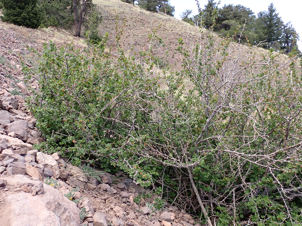 Water Canyon RoadHikingPhoto: Matt Lavin, CC BY-SA 2.0 (via Flickr)~29 min drive
- Apache Kid Trail #43Hiking~10 min drive
- North BaldyHikingPhoto: Matt Lavin, CC BY-SA 2.0 (via Flickr)~28 min drive
- MonicaHikingPhoto: Ken Lund from Reno, Nevada, USA, CC BY-SA 2.0 (via Wikimedia Commons)~8 min drive
 North Baldy TrailHikingPhoto: Matt Lavin, CC BY-SA 2.0 (via Flickr)~29 min drive
 Timber PeakHikingPhoto: Matt Lavin, CC BY-SA 2.0 (via Flickr)~29 min drive
 Copper Canyon Trail #10HikingPhoto: Matt Lavin, CC BY-SA 2.0 (via Flickr)~28 min drive
- RosedaleHiking~5 min drive
Conditions and forecast
Daily highs and lows, wind and the chance of precipitation at Start for the next 7 days, from the Open-Meteo model.

Ask about this place
Questions about Water Canyon: conditions, access, timing. Answers say when something isn't known.
