Potato Canyon
 Photo: Ken Lund from Reno, Nevada, USA, CC BY-SA 2.0 (via Wikimedia Commons)
- 11.5 mi
- round trip
- 3,162 ft
- climb
- 9,776 ft
- high point
- Out and back
- route
Caution at last check
Agency alerts are in effect for this area; weather is good · USFS, OpenWeather · checked 22 h ago
Is Potato Canyon open right now?
Alert in the area
The Forest Service lists an alert for Magdalena Ranger District.
Magdalena Ranger District Bear Trap Campground Closure Order #03-03-03-26-01
Agency alert covering Magdalena Ranger District · Order 03-03-03-26-01 · USFS · Magdalena Ranger District
As of · Source: USFS · Magdalena Ranger District. Agencies don't list every closure — check before you go.
Potato Canyon is a hard hike in the Magdalena Ranger District of Cibola National Forest in New Mexico, about 11.5 miles long and rising from 6,796 feet to 9,776 feet. The trail is an out-and-back, and the climb is steep, with a total elevation gain of 3,162 feet. The Forest Service manages the land, and the trail is natural-surfaced. Horses are allowed, but bikes are not. The Socorro Area climbing area sits less than a mile away, and the Chimney, Monica and Water Canyon Trail hikes are all within about a mile and a half.
Local outfitters
- Pie Town RV Park48 mi away
Not on Roamze yet. Their page has how to reach them.
- Socorro AreaRock climbing0.8 mi
- ChimneyHikingPhoto: Ken Lund from Reno, Nevada, USA, CC BY-SA 2.0 (via Wikimedia Commons)1.1 mi
- MonicaHikingPhoto: Ken Lund from Reno, Nevada, USA, CC BY-SA 2.0 (via Wikimedia Commons)1.3 mi
- Water Canyon TrailHiking1.5 mi
- Link TrailHiking1.6 mi
- Big RosaHiking3.4 mi
- Hughes MillHiking3.7 mi
- Water CanyonHiking4 mi
Source: Roamze catalog (indexable pages within 10 miles, PostGIS distance)
- MonicaHiking · ~2 min drivePhoto: Ken Lund from Reno, Nevada, USA, CC BY-SA 2.0 (via Wikimedia Commons)
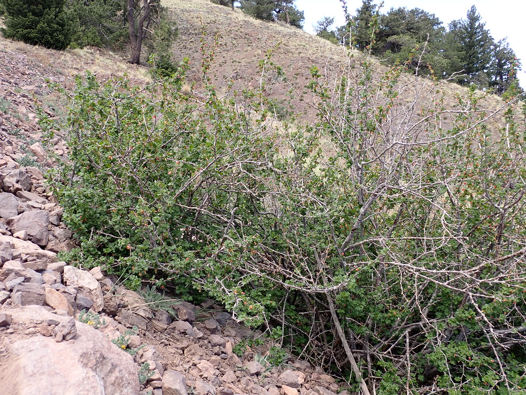 Water Canyon RoadHiking · ~33 min drivePhoto: Matt Lavin, CC BY-SA 2.0 (via Flickr)
- North BaldyHiking · ~33 min drivePhoto: Matt Lavin, CC BY-SA 2.0 (via Flickr)
- Apache Kid Trail #43Hiking · ~10 min drive
 Copper Canyon Trail #10Hiking · ~32 min drivePhoto: Matt Lavin, CC BY-SA 2.0 (via Flickr)
- RosedaleHiking · ~8 min drive
- Big RosaHiking · ~6 min drive
- South BaldyHiking · ~33 min drivePhoto: Matt Lavin, CC BY-SA 2.0 (via Flickr)
- Grand Enchantment TrailHiking · ~10 min drive
- Grand Enchantment TrailHiking · ~15 min drive
Also worth it near here
