South Baldy
 Photo: dikaiopolis, CC BY 3.0 (via Wikimedia Commons)
- 10,782 ft
- summit
- 1
- way up
- Forest Service
- managed by
Is South Baldy open right now?
Alert in the area
The Forest Service lists an alert for Magdalena Ranger District.
Magdalena Ranger District Bear Trap Campground Closure Order #03-03-03-26-01
Agency alert covering Magdalena Ranger District · Order 03-03-03-26-01 · USFS · Magdalena Ranger District
As of · Source: USFS · Magdalena Ranger District. Agencies don't list every closure — check before you go.
South Baldy is a summit in the Magdalena Ranger District of Cibola National Forest in New Mexico, managed by the Forest Service. The nearest town is Magdalena, about 8.6 miles away, making it the closest community for supplies and a starting point for planning a trip. The South Baldy Summit Trail and North Baldy both lie about 0.3 miles away, with Copper Canyon Trail #10 roughly 0.6 miles off. For an overnight base, Water Canyon Campground sits about 4 miles from the summit.
Conditions and forecast
Daily highs and lows, wind and the chance of precipitation at the summit and route start for the next 7 days, from the Open-Meteo model.
- Summit elevation
- 10,782 ft
- Land manager
- Forest Service
Elevation from USGS 3D Elevation Program terrain data (about 10 m resolution).
Map © Mapbox © OpenStreetMap contributors Questions about South Baldy
How tall is South Baldy?
10,782 ft (3,286 m).
How many routes go to the summit of South Baldy?
One: South Baldy Summit Trail.
- Timber Peak10,503 ft · New Mexico1 route1.8 mi away
- North Baldy9,859 ft · New Mexico1 route4.1 mi away
- Gramont Peak6,044 ft · New Mexico1 route11 mi away
- Teepee Peak9,962 ft · New Mexico1 route26 mi away
- West Blue Mountain10,334 ft · New Mexico2 routes27 mi away
- Blue Mountain10,316 ft · New Mexico2 routes27 mi away
- South Baldy Summit TrailHiking0.3 mi
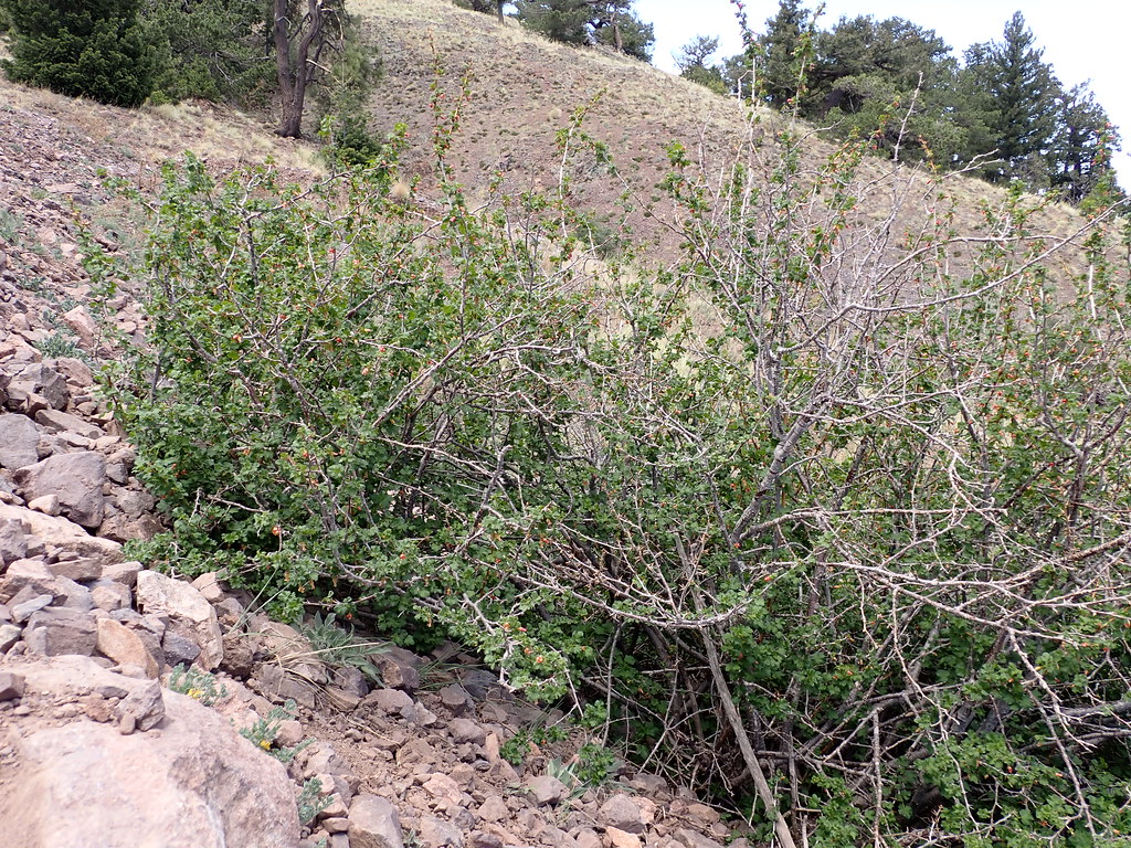 North BaldyHikingPhoto: Matt Lavin, CC BY-SA 2.0 (via Flickr)0.3 mi
 Copper Canyon Trail #10HikingPhoto: Matt Lavin, CC BY-SA 2.0 (via Flickr)0.6 mi
- East Fork SawmillHiking0.6 mi
- Water Canyon RoadHikingPhoto: Matt Lavin, CC BY-SA 2.0 (via Flickr)0.6 mi
 Timber PeakHikingPhoto: Matt Lavin, CC BY-SA 2.0 (via Flickr)0.9 mi
- Six MileHikingPhoto: Matt Lavin, CC BY-SA 2.0 (via Flickr)1.3 mi
- Water Canyon CampgroundCamping4 mi
Source: Roamze catalog (indexable pages within 10 miles, PostGIS distance)
