Link Trail
- 2.1 mi
- round trip
- 1,487 ft
- climb
- 8,412 ft
- high point
- Out and back
- route
- Apr–Oct
- best months
Is Link Trail open right now?
Alert in the area
The Forest Service lists an alert for Magdalena Ranger District.
Magdalena Ranger District Bear Trap Campground Closure Order #03-03-03-26-01
Agency alert covering Magdalena Ranger District · Order 03-03-03-26-01 · USFS · Magdalena Ranger District
As of · Source: USFS · Magdalena Ranger District. Agencies don't list every closure — check before you go.
Link Trail is a 4.2-mile out-and-back hike in the Withington Wilderness, part of the Magdalena Ranger District of Cibola National Forest in New Mexico. The Forest Service manages the land, and the trail crosses wilderness boundaries, so plan on a route that stays within designated backcountry. The trail starts at about 8,100 feet and climbs steadily to a high point of 8,412 feet, with a total gain of 1,487 feet for the round trip. The steepest stretch comes early, around 0.57 miles in, where the grade reaches about 22%. The climb is moderate, and the trip takes about two hours. For comfortable weather, aim for late spring or early fall. Typical averages from a nearby weather station at Augustine put May highs around 72°F and September highs around 75°F, while July and August bring the most wet days. That station sits about 1,400 feet lower than the trail's high point, so temperatures on the ridge run cooler. Water Canyon Trail and the Socorro Area climbing area are both about 1.5 miles away. Potato Canyon and Chimney are within about 2 miles.
Local outfitters
- Pie Town RV Park49 mi away
Not on Roamze yet. Their page has how to reach them.
- Water Canyon TrailHiking1.5 mi
- Socorro AreaRock climbing1.5 mi
 Potato CanyonHikingPhoto: Ken Lund from Reno, Nevada, USA, CC BY-SA 2.0 (via Wikimedia Commons)1.6 mi
- ChimneyHikingPhoto: Ken Lund from Reno, Nevada, USA, CC BY-SA 2.0 (via Wikimedia Commons)2 mi
- Water CanyonHiking2.3 mi
- Big RosaHiking2.6 mi
- MonicaHikingPhoto: Ken Lund from Reno, Nevada, USA, CC BY-SA 2.0 (via Wikimedia Commons)2.7 mi
- RosedaleHiking3.6 mi
Source: Roamze catalog (indexable pages within 10 miles, PostGIS distance)
- Potato CanyonHiking · ~3 min drivePhoto: Ken Lund from Reno, Nevada, USA, CC BY-SA 2.0 (via Wikimedia Commons)
- MonicaHiking · ~5 min drivePhoto: Ken Lund from Reno, Nevada, USA, CC BY-SA 2.0 (via Wikimedia Commons)
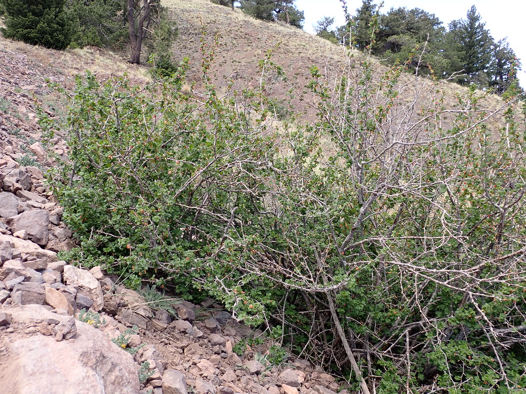 Water Canyon RoadHiking · ~31 min drivePhoto: Matt Lavin, CC BY-SA 2.0 (via Flickr)
- Apache Kid Trail #43Hiking · ~9 min drive
- North BaldyHiking · ~31 min drivePhoto: Matt Lavin, CC BY-SA 2.0 (via Flickr)
 Copper Canyon Trail #10Hiking · ~30 min drivePhoto: Matt Lavin, CC BY-SA 2.0 (via Flickr)
 North Baldy TrailHiking · ~32 min drivePhoto: Matt Lavin, CC BY-SA 2.0 (via Flickr)
- Water CanyonHiking · ~4 min drive
- ChimneyHiking · ~4 min drivePhoto: Ken Lund from Reno, Nevada, USA, CC BY-SA 2.0 (via Wikimedia Commons)
- RosedaleHiking · ~6 min drive
Best time to visit Link Trail
Best months: April–October. Best months have typical highs of 55–85 °F, lows of 30 °F or warmer (32 °F where the station doesn't record snow), at most one snowy day and no more than 12 wet days.
Jan
46° / 17°
3 wet · 1 snow
Feb
49° / 21°
3 wet · 1 snow
Mar
56° / 25°
3 wet
Apr
63° / 31°
2 wet
May
72° / 40°
2 wet
Jun
82° / 49°
3 wet
Jul
82° / 56°
8 wet
Aug
80° / 54°
9 wet
Sep
75° / 46°
6 wet
Oct
66° / 34°
4 wet
Nov
55° / 23°
3 wet
Dec
46° / 16°
3 wet · 1 snow
Typical high / low (°F) and days with rain or snow, 1991–2020. Measured at Augustine 2e, NM, 17.2 mi away at 7,000 ft. The station sits about 1,400 ft lower than this place, so expect it a little cooler here. Source: NOAA NCEI U.S. Climate Normals 1991–2020.

Map and trail data © OpenStreetMap contributors
