

Mount Rose (nv)
Campground
4.3 mi from the trail
 Photo: Ken Lund from Reno, Nevada, USA, CC BY-SA 2.0 (via Wikimedia Commons)
Rim to Reno is a 24.7-mile out-and-back hike in the Mt. Rose Wilderness, part of the Carson Ranger District of the Humboldt-Toiyabe National Forest in Nevada. The Forest Service manages the land, and the trail is accessible. It runs on natural surface and is rated hard, with a one-way climb of about 1,660 feet from a low point of 8,919 feet to a high of 9,773 feet. The route is long and steep, so plan for a full day. The trail is accessible, and bikes are not allowed. Mt. Houghton and Mt. Rose Peak both lie within about 2.6 miles, and Mt. Rose Campground is about 4.3 miles away. Lake Tahoe's North Shore is about 9 miles off.
Where it is: Mt. Rose Wilderness · Carson Ranger District
Near: Reno
Been here? Tell people how it was.
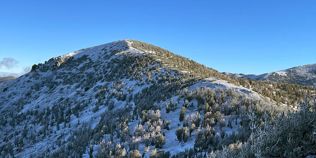 Mt HoughtonHikingPhoto: Mitch Barrie — Wikimedia Commons (CC BY-SA 4.0)2.5 mi
 Thomas CreekHikingPhoto: simonov, CC BY-SA 2.0 (via Flickr)~5 min drive
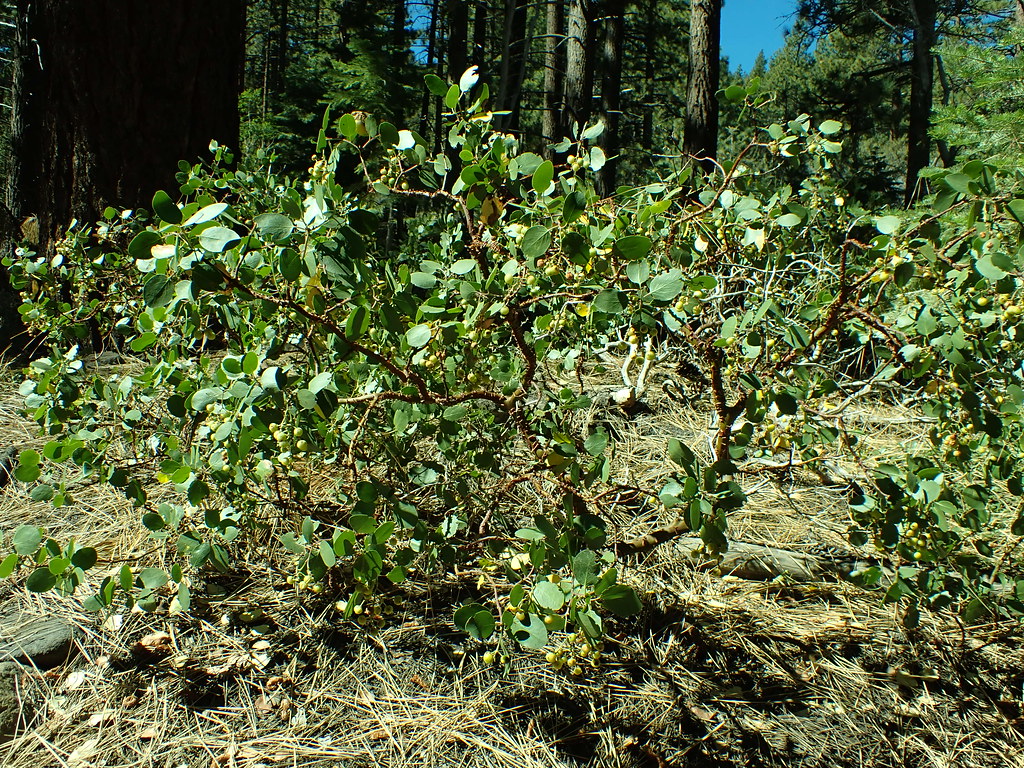 Dry PondHikingPhoto: Matt Lavin, CC BY-SA 2.0 (via Flickr)~8 min drive
 Tamarack Lake TrailHikingPhoto: simonov — CC BY-SA 2.0 (via Flickr)~7 min drive
 JonesHikingPhoto: simonov, CC BY-SA 2.0 (via Flickr)~6 min drive
 Gray Lake Trail (Mt. Rose)HikingPhoto: simonov, CC BY-SA 2.0 (via Flickr)~8 min drive
 Jones CreekHikingPhoto: simonov, CC BY-SA 2.0 (via Flickr)~7 min drive
Also worth it near here
Daily highs and lows, wind and the chance of precipitation at Start for the next 7 days, from the Open-Meteo model.
Questions about Rim to Reno: conditions, access, timing. Answers say when something isn't known.
Mount Rose (nv)
Campground
Fox Cultural Hall
Museum
Places © OpenStreetMap contributors, Places © Overture Maps Foundation
More in Sunnyside-Tahoe CityNot on Roamze yet. Their page has how to reach them.
