Failes Creek
At a glance
Failes Creek is a 11-mile out-and-back hike on natural trail in the Ouray Ranger District of the Grand Mesa, Uncompahgre and Gunnison National Forests in western Colorado. The route gains about 1,843 feet, from a low point of roughly 9,568 feet to a high of about 10,997 feet, and is rated expert. The Forest Service manages the land, and the trail is open year-round. The Fall Creek Trailhead is the access point, with parking at the Fall Creek site. Horses are allowed, but bikes are not. The trail is not accessible. For supplies and another night out, Big Blue Campground and Big Blue Creek are both about 3 miles away. The Big Park and Little Cimarron hikes are within about 2 miles.
- round trip
- 11.0 mi
- climb
- 1,843 ft
- high point
- 10,997 ft
- route
- Out and back
Where it is: Ouray Ranger District · Grand Mesa, Uncompahgre and Gunnison National Forests
Near: Montrose
Been here? Tell people how it was.
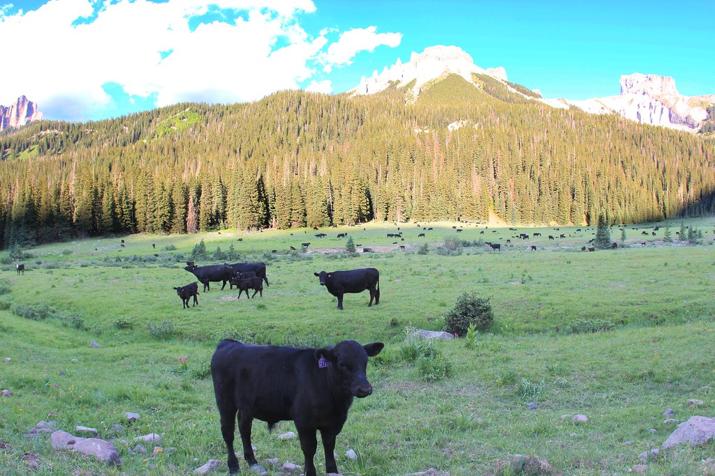 OWL CREEK PASS SNOHikingPhoto: daveynin, CC BY 2.0 (via Flickr)~14 min drive
 Big Blue CreekHikingPhoto: kalestews, CC BY 2.0 (via Flickr)~14 min drive
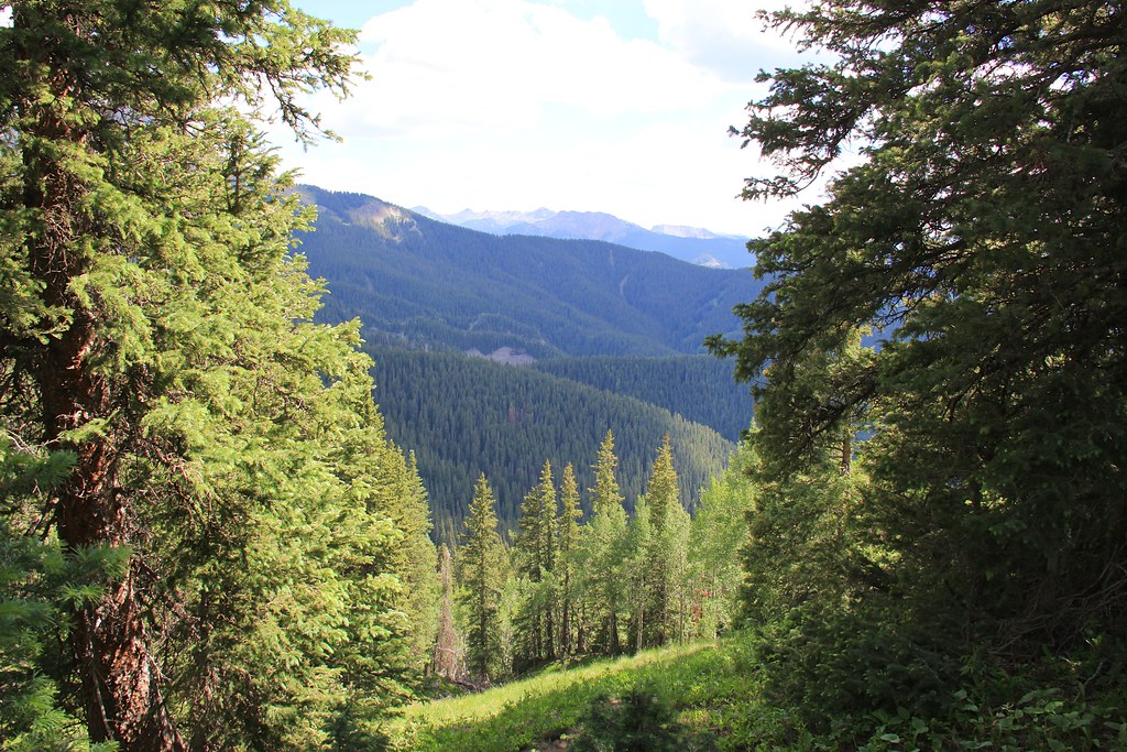 CourthouseHikingPhoto: daveynin, CC BY 2.0 (via Flickr)~15 min drive
- Little Cimarron EastHiking~5 min drive
- Alpine Trail 225Hiking~11 min drive
- OLD OWL CREEK SPUR BHikingPhoto: daveynin, CC BY 2.0 (via Flickr)~15 min drive
- Ridge Stock DrivewayHiking~7 min drive
- SHEEP MOUNTAINHiking~5 min drive
- Uncompahgre PeakHiking~15 min drive
- Little Cimarron Spur B Trail 674BHiking~5 min drive
Conditions and forecast
Caution todayAgency alerts are in effect for this areaUSFS · checked 11 h agoDaily highs and lows, wind and the chance of precipitation at Start for the next 7 days, from the Open-Meteo model.
Ask about this place
Questions about Failes Creek: conditions, access, timing. Answers say when something isn't known.
Local outfitters
- Peak Mountain Guides18 mi away
- Grizzly RT RV Park20 mi away
Not on Roamze yet. Their page has how to reach them.
