Big Park
- 5.2 mi
- round trip
- 124 ft
- climb
- 10,423 ft
- high point
- Out and back
- route
Caution at last check
Agency alerts are in effect for this area; weather is marginal · USFS, OpenWeather · checked 13 h ago
Is Big Park open right now?
Closure in the area
There's a closure order in Grand Mesa, Uncompahgre and Gunnison National Forests. It doesn't name Big Park, so check the source for the area it covers (2 listed).
Gold Mountain Wildfire Roads and Trails Closure Order v 4.0
Agency closure covering Grand Mesa, Uncompahgre and Gunnison National Forests · USFS · Grand Mesa, Uncompahgre and Gunnison National Forests
Ophir Pass Road Closure
Agency closure covering Grand Mesa, Uncompahgre and Gunnison National Forests · USFS · Grand Mesa, Uncompahgre and Gunnison National Forests
Potter Basin Road Closure Order
Agency alert covering Grand Mesa, Uncompahgre and Gunnison National Forests · USFS · Grand Mesa, Uncompahgre and Gunnison National Forests
Beaver Park Road Closure Order
Agency alert covering Grand Mesa, Uncompahgre and Gunnison National Forests · USFS · Grand Mesa, Uncompahgre and Gunnison National Forests
TERMINATION OF ORDER - FIRE RESTRICTIONS
Agency alert covering Grand Mesa, Uncompahgre and Gunnison National Forests · USFS · Grand Mesa, Uncompahgre and Gunnison National Forests
As of · Source: USFS · Grand Mesa, Uncompahgre and Gunnison National Forests. Agencies don't list every closure — check before you go.
Big Park is a moderate out-and-back hike in Colorado's Ouray Ranger District, part of the Grand Mesa, Uncompahgre and Gunnison National Forests. The trail runs about 5 miles, with a total elevation gain of 124 feet, from a low point of about 10,221 feet to a high of about 10,423 feet. The Forest Service manages the land, and the route is natural-surface, not accessible, and open year-round. Horses are allowed, but bikes are not. That makes it a trail for hikers and riders on horseback, with no room for mountain bikes. The climb is gentle, and the route is short enough to fit into a day. Big Blue Campground sits about 1.6 miles away, and Big Blue Creek, a canoeing spot, is about 1.4 miles off. Failes Creek is a nearby hike at about 1.5 miles, and Alpine Guard Station is about 2.1 miles away.
Local outfitters
- Peak Mountain Guides19 mi away
- Grizzly RT RV Park21 mi away
Not on Roamze yet. Their page has how to reach them.
- Big Blue CreekCanoeing1.4 mi
- Failes CreekHiking1.5 mi
- Big Blue CampgroundCamping1.6 mi
- Alpine Guard StationHiking2.1 mi
- Alpine Trail 225Mountain biking2.5 mi
- East Fork DispersedCamping5.2 mi
- Cimarron Forks Camping AreaCamping5.6 mi
- Uncompahgre/Big Blue WildernessRock climbing9.5 mi
Source: Roamze catalog (indexable pages within 10 miles, PostGIS distance)
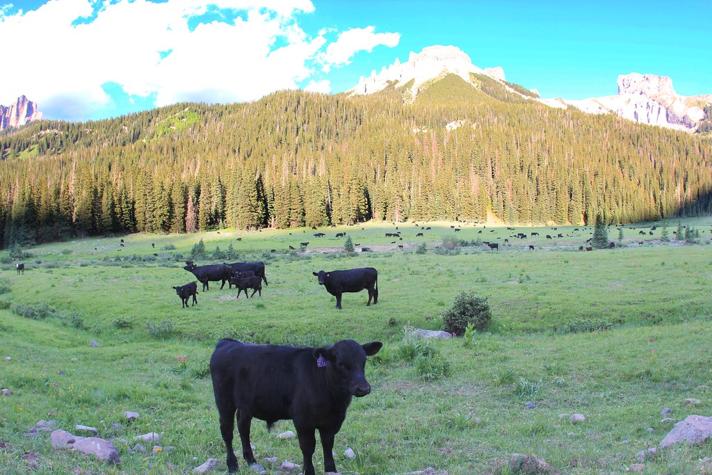 OLD OWL CREEK SPUR BHiking · ~16 min drivePhoto: daveynin, CC BY 2.0 (via Flickr)
- OWL CREEK PASS SNOHiking · ~15 min drivePhoto: daveynin, CC BY 2.0 (via Flickr)
- FireboxHiking · ~5 min drive
- SHEEP MOUNTAINHiking · ~7 min drive
 Big Blue CreekHiking · ~16 min drivePhoto: kalestews, CC BY 2.0 (via Flickr)
- Failes CreekHiking · ~2 min drive
- High MesaHiking · ~5 min drive
- Well Gulch Trail 244.1AHiking · ~12 min drive
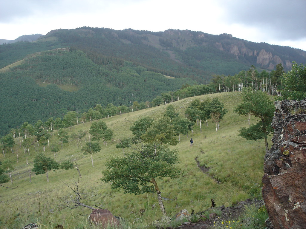 Independence BypassHiking · ~17 min drivePhoto: gregmote, CC BY 2.0 (via Flickr)
- Alpine Trail 225Hiking · ~11 min drive

