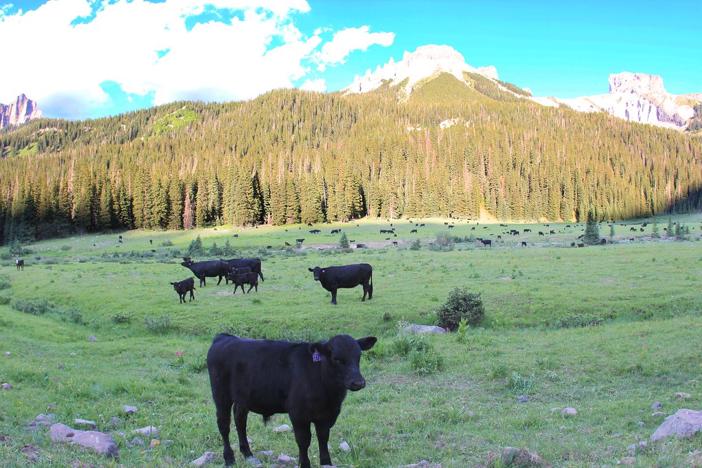
Big Blue Creek
- 28.3 mi
- distance
- 12,305 ft
- high point
Is Big Blue Creek open right now?
Closure in the area
There's a closure order in Grand Mesa, Uncompahgre and Gunnison National Forests. It doesn't name Big Blue Creek, so check the source for the area it covers (2 listed).
Gold Mountain Wildfire Roads and Trails Closure Order v 4.0
Agency closure covering Grand Mesa, Uncompahgre and Gunnison National Forests · USFS · Grand Mesa, Uncompahgre and Gunnison National Forests
Ophir Pass Road Closure
Agency closure covering Grand Mesa, Uncompahgre and Gunnison National Forests · USFS · Grand Mesa, Uncompahgre and Gunnison National Forests
Potter Basin Road Closure Order
Agency alert covering Grand Mesa, Uncompahgre and Gunnison National Forests · USFS · Grand Mesa, Uncompahgre and Gunnison National Forests
Beaver Park Road Closure Order
Agency alert covering Grand Mesa, Uncompahgre and Gunnison National Forests · USFS · Grand Mesa, Uncompahgre and Gunnison National Forests
TERMINATION OF ORDER - FIRE RESTRICTIONS
Agency alert covering Grand Mesa, Uncompahgre and Gunnison National Forests · USFS · Grand Mesa, Uncompahgre and Gunnison National Forests
As of · Source: USFS · Grand Mesa, Uncompahgre and Gunnison National Forests. Agencies don't list every closure — check before you go.
Big Blue Creek is a 28-mile paddling stretch near Cimarron, Colorado. It flows year-round. USGS models an average flow of about 41 cfs and a gradient of about 145.3 feet per mile. Land along it is managed by the U.S. Forest Service.
Local outfitters
- Cedar Creek RV Park and Lodging30 mi away
- Blue Creek Lodge46 mi away
Not on Roamze yet. Their page has how to reach them.
- Alpine Guard StationHiking1 mi
- Big ParkHiking1.4 mi
- Big Blue CampgroundCamping1.4 mi
- Alpine Trail 225Mountain biking2.3 mi
- Failes CreekHiking2.8 mi
- East Fork DispersedCamping5.8 mi
- Cimarron Forks Camping AreaCamping6.2 mi
- Jackson Guard StationCamping6.4 mi
Source: Roamze catalog (indexable pages within 10 miles, PostGIS distance)
 Blue CreekCanoeing · ~23 min drivePhoto: Jeffrey Beall, CC BY 4.0 (via Wikimedia Commons)
- Devil's Creek Bridge boat rampBoat launch · ~17 min drive
- Stevens Creek CampgroundTubing · ~42 min drive
 Henson CreekCanoeing · ~27 min drivePhoto: Jeffrey Beall, CC BY 4.0 (via Wikimedia Commons)
- Pine Creek Boat LaunchBoat launch · ~27 min drive
 Cebolla CreekCanoeing · ~31 min drivePhoto: Jeffrey Beall, CC BY 4.0 (via Wikimedia Commons)
- Lake ForkBoat launch · ~28 min drive
 Uncompahgre RiverCanoeing · ~37 min drivePhoto: Sally Pearce, Colorado Department of Transportation; brightened and color-corrected by Howcheng, Public domain (via Wikimedia Commons)
- Lake Fork Boat LaunchBoat launch · ~28 min drive
 East Fork Dallas CreekCanoeing · ~42 min drivePhoto: Boyd Norton, Public domain (via Wikimedia Commons)