West Fork Cimarron Dispersed
Campground
Campground · 1.4 mi from the trail
Closure in the area
There's a closure order in Grand Mesa, Uncompahgre and Gunnison National Forests. It doesn't name Coxcomb Peak, so check the source for the area it covers (2 listed).
Gold Mountain Wildfire Roads and Trails Closure Order v 4.0
Agency closure covering Grand Mesa, Uncompahgre and Gunnison National Forests · USFS · Grand Mesa, Uncompahgre and Gunnison National Forests
Ophir Pass Road Closure
Agency closure covering Grand Mesa, Uncompahgre and Gunnison National Forests · USFS · Grand Mesa, Uncompahgre and Gunnison National Forests
Potter Basin Road Closure Order
Agency alert covering Grand Mesa, Uncompahgre and Gunnison National Forests · USFS · Grand Mesa, Uncompahgre and Gunnison National Forests
Beaver Park Road Closure Order
Agency alert covering Grand Mesa, Uncompahgre and Gunnison National Forests · USFS · Grand Mesa, Uncompahgre and Gunnison National Forests
TERMINATION OF ORDER - FIRE RESTRICTIONS
Agency alert covering Grand Mesa, Uncompahgre and Gunnison National Forests · USFS · Grand Mesa, Uncompahgre and Gunnison National Forests
As of · Source: USFS · Grand Mesa, Uncompahgre and Gunnison National Forests. Agencies don't list every closure — check before you go.
Coxcomb Peak rises to 13,612 ft in Colorado. This route starts at West Fork Cimarron River Trailhead and covers 8.6 miles round trip with about 3,971 ft of climbing. The mapped trail ends 0.1 miles and about 702 ft short of the summit; the final stretch is off-trail with no mapped path and needs route-finding.
West Fork Cimarron Dispersed
Campground
Smuggler Union Tramhouse
Attraction
Places © OpenStreetMap contributors
More in TellurideDaily highs and lows, wind and the chance of precipitation at the summit and route start for the next 7 days, from the Open-Meteo model.
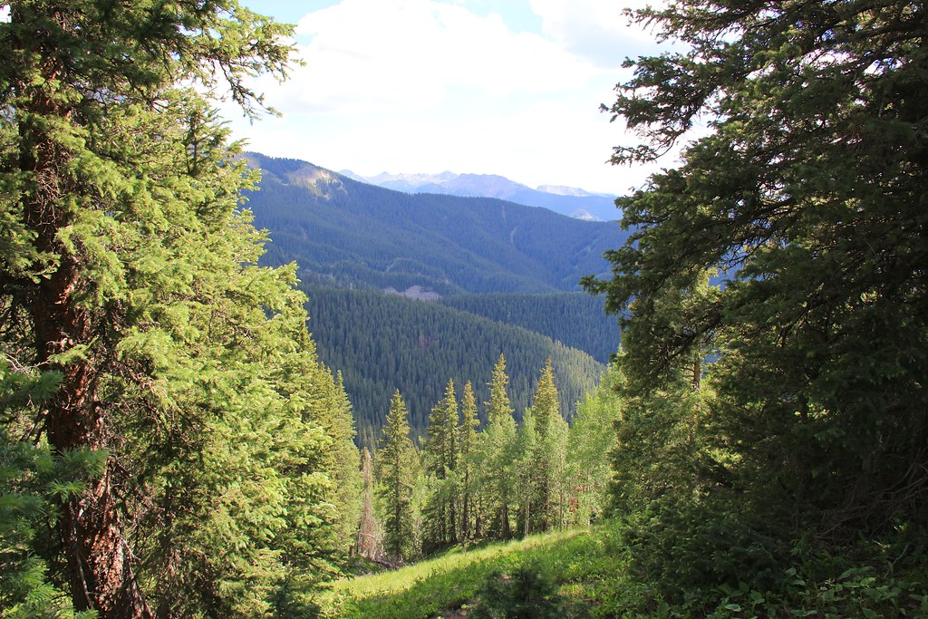 CourthouseHikingPhoto: daveynin, CC BY 2.0 (via Flickr)1.3 miCourthouse MountainHikingPhoto: daveynin, CC BY 2.0 (via Flickr)1.7 mi
 Henson CreekCanoeingPhoto: Jeffrey Beall, CC BY 4.0 (via Wikimedia Commons)9.7 mi
Source: Roamze catalog (indexable pages within 10 miles, PostGIS distance)
Also worth it near here
Courthouse MountainHiking · ~3 min drivePhoto: daveynin, CC BY 2.0 (via Flickr) Upper East ForkMountain biking · ~7 min drivePhoto: John Sowell, CC BY-SA 4.0 (via Wikimedia Commons)
 Wetterhorn PeakSummit · ~7 min drivePhoto: Unknown authorUnknown author, CC BY-SA 3.0 (via Wikimedia Commons)
About 8.6 mi round trip from West Fork Cimarron River Trailhead.
About 3,971 ft of climbing round trip.
It is rated expert.
West Fork Cimarron River Trailhead.
© openrouteservice.org by HeiGIT | Map data © OpenStreetMap contributors
