West Fork Sno
- 5.4 mi
- round trip
- 566 ft
- climb
- 10,673 ft
- high point
- Out and back
- route
West Fork Sno is a cross-country ski route in Colorado's Ouray Ranger District, part of the Grand Mesa, Uncompahgre and Gunnison National Forests. The Forest Service manages the land, and the route is an out-and-back that starts and ends at the Courthouse parking area. It covers about 5.4 miles, with a one-way elevation gain of 566 feet, from a low point of 10,078 feet to a high of 10,673 feet. Winter is the natural season for this route. Typical averages from a nearby weather station in Silverton show January highs around 34°F with lows near -6°F, while July highs reach about 75°F. That station sits roughly 1,400 feet lower than the route's high point, so temperatures on the trail run cooler. Owl Creek Pass Sno and Owl Creek Pass campground are both about 0.8 miles away, and Courthouse Mountain is about 1.1 miles off. The Uncompahgre/Big Blue Wilderness climbing area lies about 2.3 miles away.
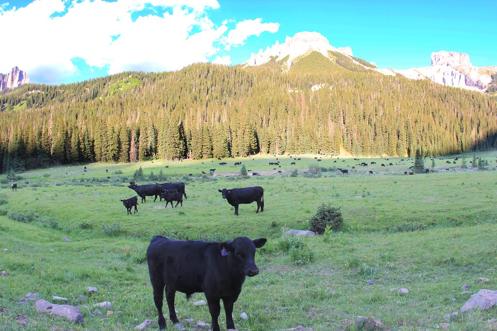 OWL CREEK PASS SNOHikingPhoto: daveynin, CC BY 2.0 (via Flickr)0.8 mi
- Owl Creek PassCamping0.8 mi
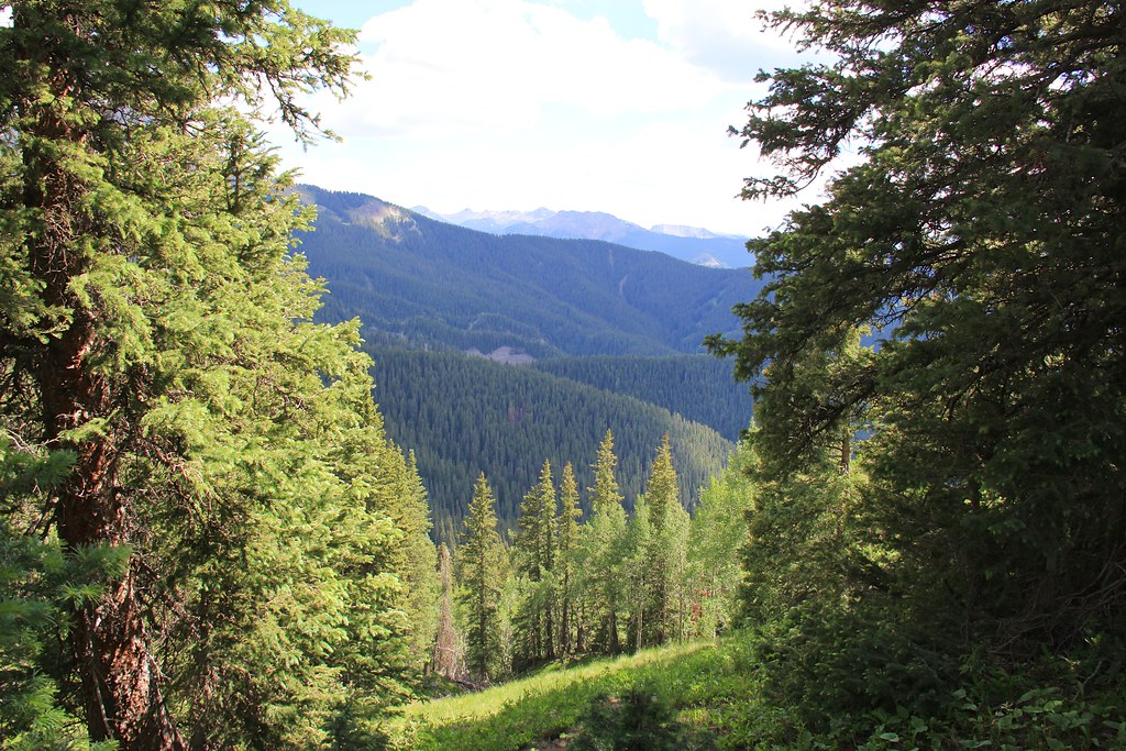 Courthouse MountainHikingPhoto: daveynin, CC BY 2.0 (via Flickr)1.1 mi
- West Fork Cimarron DispersedCamping1.1 mi
- OLD OWL CREEK SPUR BHikingPhoto: daveynin, CC BY 2.0 (via Flickr)1.2 mi
- Uncompahgre/Big Blue WildernessRock climbing2.3 mi
- Coxcomb PeakMountaineering2.5 mi
- Cow CreekCanoeing4.6 mi
Source: Roamze catalog (indexable pages within 10 miles, PostGIS distance)
