
Cougar Cg
Campground
2.2 mi from the trail
West Fork-North Fork is an 8-mile out-and-back hike in Idaho's Hemingway-Boulders Wilderness, part of the Sawtooth National Recreation Area within the Sawtooth National Forest. The Forest Service manages the land, and the trail is rated hard, with a total elevation gain of 765 feet from the low point at 6,898 feet to the high at 9,172 feet. The trail is natural-surfaced and allows horses, so riders can take it as well as hikers. It makes a straightforward route for a day in the wilderness, with the high point reached about halfway through the trip. Several other destinations sit close by. Amber Gulch is about 0.6 miles away, and Upper North Fork is about 1.3 miles off. Caribou Campground, about 2.5 miles away, offers a place to camp, and the Hemingway-Boulders Wilderness fishing area is about 4.2 miles away.
Where it is: Hemingway-Boulders Wilderness · Sawtooth National Recreation Area
Near: Ketchum
Been here? Tell people how it was.
 SOUTH BOULDER LOOPHikingPhoto: DieselDemon, CC BY 2.0 (via Flickr)~10 min drive
 Easley Gulch Aka CurliesHikingPhoto: Matt Lavin, CC BY-SA 2.0 (via Flickr)~12 min drive
 SILVER CREEK LOOPHikingPhoto: U.S. Forest Service employees, Public domain (via Wikimedia Commons)~13 min drive
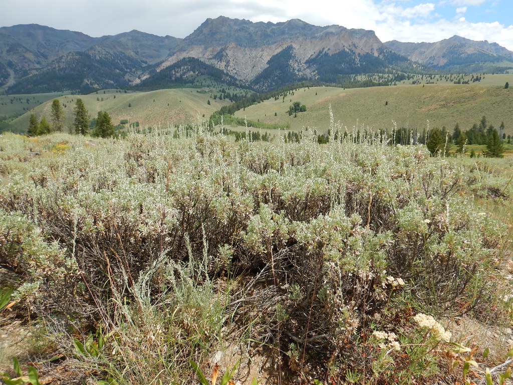 PRAIRIE CREEK LOOP SKIHikingPhoto: Matt Lavin, CC BY-SA 2.0 (via Flickr)~14 min drivePRAIRIE CREEK CONNECTOR SKIHikingPhoto: Matt Lavin, CC BY-SA 2.0 (via Flickr)~14 min drive
 BAKER CREEKHikingPhoto: Fredlyfish4 at English Wikipedia, Public domain (via Wikimedia Commons)~13 min drive
 NEWMAN CREEKHikingPhoto: Matt Lavin, CC BY-SA 2.0 (via Flickr)~14 min drive
Daily highs and lows, wind and the chance of precipitation at Start for the next 7 days, from the Open-Meteo model.
Questions about West Fork-North Fork: conditions, access, timing. Answers say when something isn't known.
Cougar Cg
Campground
Sun Valley Museum of Art
Museum
Places © OpenStreetMap contributors, Places © Overture Maps Foundation
More in KetchumNot on Roamze yet. Their page has how to reach them.
