Cougar Cg
Campground
Campground · 1.1 mi from the trail
Alert in the area
The Forest Service lists 4 alerts for Sawtooth National Forest.
Paradise Prescribed Burn Restricted Access
Agency alert covering Sawtooth National Forest · USFS · Sawtooth National Forest
Grandjean Area, Road, and Trail Closure
Agency alert covering Sawtooth National Forest · Order 0414-04-165 · USFS · Sawtooth National Forest
Over-Snow Vehicle and Bicycle Prohibitions
Agency alert covering Sawtooth National Forest · Order 0414-00-028 · USFS · Sawtooth National Forest
Occupancy and Use - Food Storage
Agency alert covering Sawtooth National Forest · Order 0414-04-143 · USFS · Sawtooth National Forest
As of · Source: USFS · Sawtooth National Forest. Agencies don't list every closure — check before you go.
East Fork is a 6.7-mile out-and-back hike in Idaho's Sawtooth National Recreation Area, within the Sawtooth National Forest managed by the Forest Service. The trail rises from about 6,800 feet to a high point of 8,201 feet, with a total elevation gain of 1,929 feet, and it is rated moderate. The route is a natural-surface path that allows horses, so riders can take it as well as hikers. The trail is open year-round, and the nearest town is likely the recreation area's own infrastructure. Caribou Campground sits about 1.6 miles away, and the West Fork-North Fork hike and the Murdock Creek hike are each about 1.8 miles off. For a longer outing, the Hemingway-Boulders Wilderness offers river fishing about 5.8 miles away.
Cougar Cg
Campground
The Sun Valley Club
Restaurant
Sun Valley Museum of Art
Museum
Places © OpenStreetMap contributors
More in KetchumNot on Roamze yet. Their page has how to reach them.
 Photo: Fredlyfish4 at English Wikipedia, Public domain (via Wikimedia Commons)
BAKER CREEK
~14 min drive
18.98-mile out-and-back trail in Idaho with 1,665 ft elevation gain
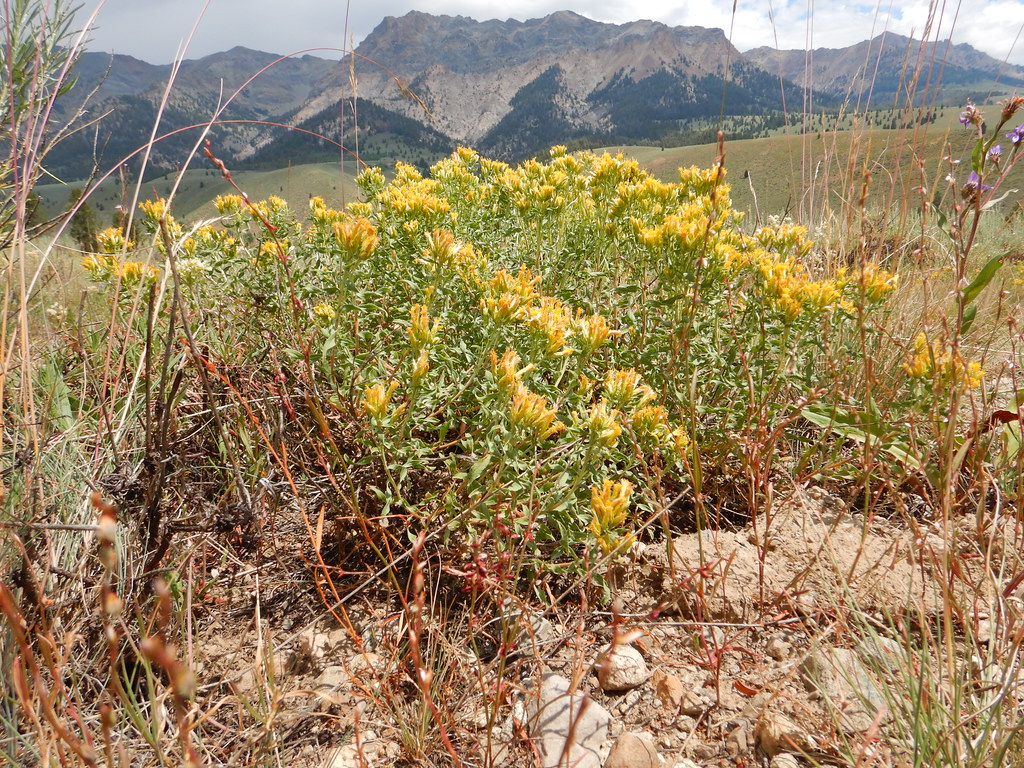 Photo: Matt Lavin, CC BY-SA 2.0 (via Flickr)
NORTH LOOP SKI
~15 min drive
4.72-mile out-and-back ski trail in Idaho with 523 ft elevation gain
 Photo: U.S. Forest Service employees, Public domain (via Wikimedia Commons)
SILVER CREEK LOOP
~15 min drive
15.1-mile out-and-back trail in Idaho with 3,909 ft elevation gain
HIKE
Upper North Fork
~4 min drive
5.43-mile out-and-back trail in Idaho with 1,339 ft elevation gain.
 Photo: Matt Lavin, CC BY-SA 2.0 (via Flickr)
Easley Gulch Aka Curlies
~13 min drive
6.16-mile out-and-back trail in Idaho with 1,518 ft elevation gain.
 Photo: Matt Lavin, CC BY-SA 2.0 (via Flickr)
NEWMAN CREEK
~16 min drive
4.06-mile out-and-back trail in Idaho with 982 ft elevation gain and loss.
HIKE
Saddle Trail
~8 min drive
3.80-mile out-and-back trail in Idaho with 419 ft of elevation gain.
HIKE
West Fork-North Fork
~3 min drive
8-mile out-and-back trail in Idaho with 765 ft elevation gain.
 Photo: ArtBrom, CC BY-SA 2.0 (via Flickr)
Trail Creek
~16 min drive
2.11-mile out-and-back trail at Trail Creek in Idaho with 65 ft of elevation gain.
HIKE
Chocolate Gulch
~9 min drive
5.60-mile out-and-back trail in Idaho with 557 ft elevation gain.


