Sumac Creek Trail
At a glance
Sumac Creek Trail is a 13-mile out-and-back hike in the Conasauga Ranger District of the Chattahoochee-Oconee National Forests in north Georgia, within the Cohutta Wildlife Management Area. The State Department of Natural Resources manages the land. The trail is rated hard, with a total climb of about 3,300 feet. The route rises steadily from a low point of 946 feet to a high of 1,696 feet, and the steepest stretch comes at about 4 miles in, where the grade reaches 26 percent. The trail is natural-surface and allows both horses and bikes. For comfortable weather, aim for spring or fall. Typical averages from a nearby weather station in Chatsworth show October highs around 74°F with lows near 48°F, and April is similar at about 72°F by day and 47°F at night. That station sits roughly 1,000 feet lower than the trail's high point, so temperatures on the ridge run cooler. Sumac Creek Spur and Murrays Lake both lie about 1.2 miles away, and Hickory Creek is about 3 miles off. Cottonwood Patch Campground, about 4.4 miles away, is the closest place to camp.
- round trip
- 13.0 mi
- climb
- 3,327 ft
- high point
- 1,696 ft
- route
- Out and back
- time
- About 5 hours
- best months
- Feb–May, Sep–Nov
Where it is: Conasauga Ranger District · Chattahoochee-Oconee National Forests
Near: Cleveland
Best time to visit Sumac Creek Trail
Best months: February–May and September–November. Best months have typical highs of 55–85 °F, lows of 30 °F or warmer (32 °F where the station doesn't record snow), at most one snowy day and no more than 12 wet days.
Jan
51°
30°
11 wet
Feb
55°
33°
11 wet
Mar
63°
40°
11 wet
Apr
72°
47°
10 wet
May
79°
56°
10 wet
Jun
86°
64°
11 wet
Jul
89°
68°
11 wet
Aug
89°
67°
10 wet
Sep
84°
60°
8 wet
Oct
74°
48°
8 wet
Nov
62°
38°
9 wet
Dec
53°
33°
11 wet
Typical high / low (°F) and days with rain or snow, 1991–2020. Measured at Chatsworth 2, GA, 12.5 mi away at 710 ft. The station sits about 1,000 ft lower than this place, so expect it a little cooler here. This station doesn't record snowfall. Source: NOAA NCEI U.S. Climate Normals 1991–2020.
Closures we've recorded since August 2026
Sumac Creek Shooting Range Temporarily Closed for Road Maintenance
Chattahoochee-Oconee National Forests · Order dated October 26, 2026; seen Oct 26, 2026 → lifted Oct 27, 2026 · Forest Service
Spring 2026 Forest-wide Fire Restrictions
Chattahoochee-Oconee National Forests · Order dated April 23, 2026; seen Aug 23, 2026 → lifted Oct 13, 2026 · Forest Service
Been here? Tell people how it was.
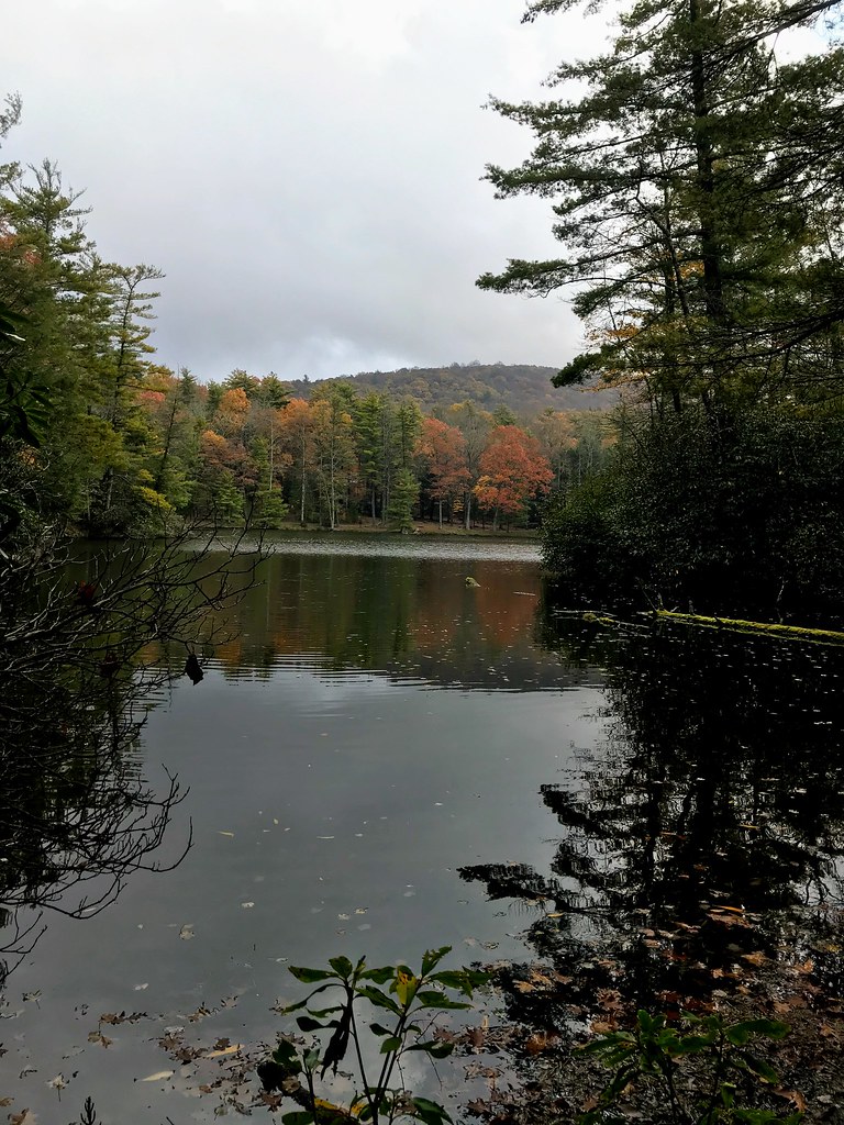 Grassy Mtn TowerHikingPhoto: ChattOconeeNF, CC BY 2.0 (via Flickr)~7 min drive
 Lake ConasaugaHikingPhoto: ChattOconeeNF, CC BY 2.0 (via Flickr)~8 min drive
- Tear BritchesHikingPhoto: ChattOconeeNF, CC BY 2.0 (via Flickr)~9 min drive
- Emery Creek TrailHikingPhoto: ChattOconeeNF, CC BY 2.0 (via Flickr)~9 min drive
- Chestnut LeadHiking~10 min drive
- SongbirdHikingPhoto: ChattOconeeNF, CC BY 2.0 (via Flickr)~8 min drive
- Hickory CreekHiking~5 min drive
- SYLCO LOOPHiking~15 min drive
- Sugar CoveHiking~13 min drive
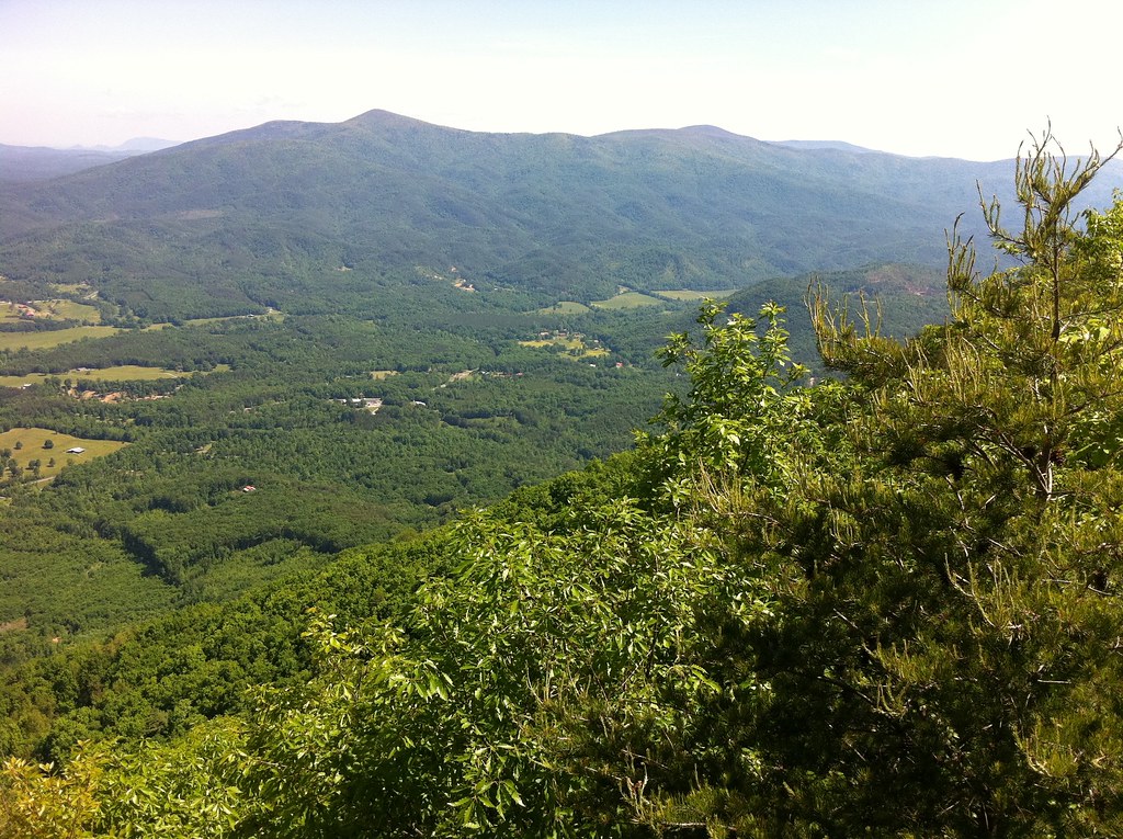 North Stone Tower TrailHikingPhoto: TranceMist, CC BY 2.0 (via Flickr)~17 min drive
Conditions and forecast
Caution todayAgency alerts are in effect for this areaUSFS · checked 16 min agoDaily highs and lows, wind and the chance of precipitation at Start for the next 7 days, from the Open-Meteo model.

Ask about this place
Questions about Sumac Creek Trail: conditions, access, timing. Answers say when something isn't known.
