North Stone Tower Trail
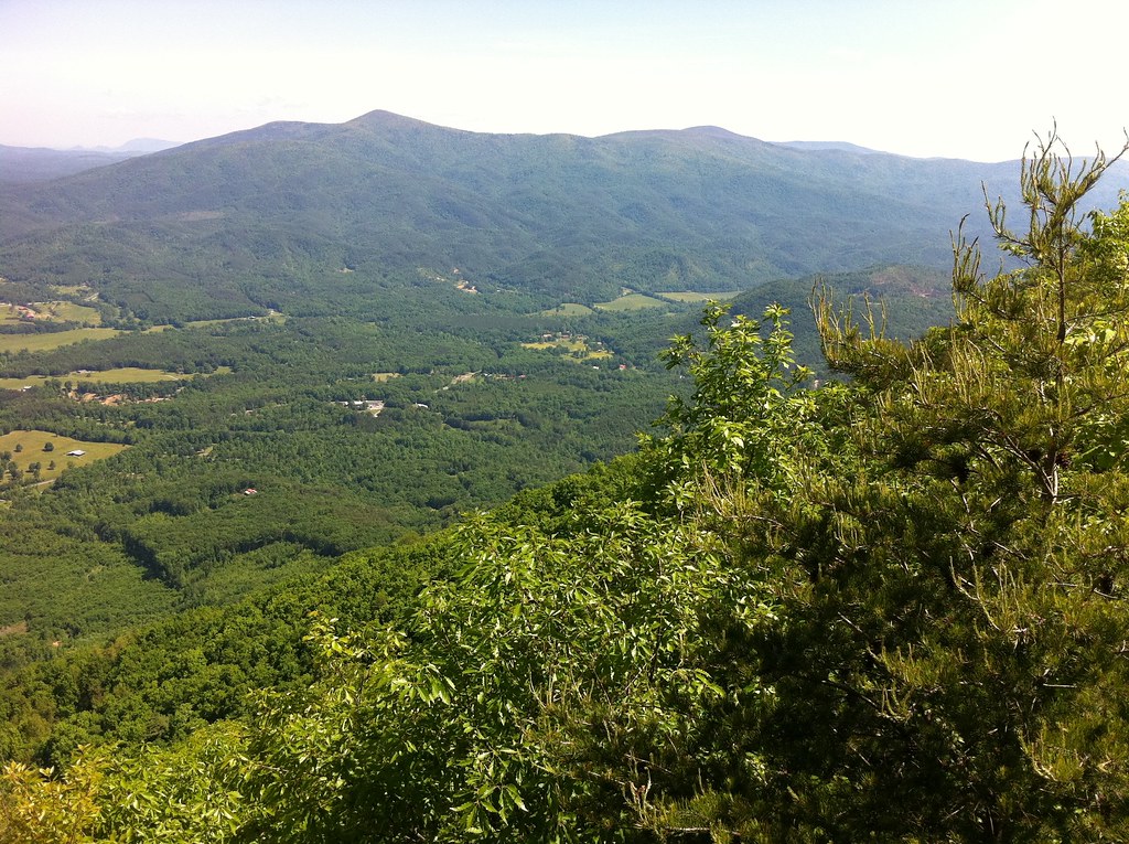 Photo: TranceMist, CC BY 2.0 (via Flickr)
- 0.5 mi
- round trip
- 657 ft
- climb
- 2,859 ft
- high point
- Out and back
- route
- Mar–Nov
- best months
Is North Stone Tower Trail open right now?
Closure in the area
There's a closure order in Chattahoochee-Oconee National Forests. It doesn't name North Stone Tower Trail, so check the source for the area it covers (5 listed).
West Cowpen, FS Road 17, Road Maintenance
Agency closure covering Chattahoochee-Oconee National Forests · USFS · Chattahoochee-Oconee National Forests
Bear Creek Road, FS 241, Temporarily Closed
Agency closure covering Chattahoochee-Oconee National Forests · USFS · Chattahoochee-Oconee National Forests
Prescribed fire on Oconee Ranger District at Jasper County
Agency closure covering Chattahoochee-Oconee National Forests · USFS · Chattahoochee-Oconee National Forests
Muskrat Road, FS 218, Temporarily Closed
Agency closure covering Chattahoochee-Oconee National Forests · USFS · Chattahoochee-Oconee National Forests
Flash Flood Awareness
Agency closure covering Chattahoochee-Oconee National Forests · USFS · Chattahoochee-Oconee National Forests
As of · Source: USFS · Chattahoochee-Oconee National Forests. Agencies don't list every closure — check before you go.
North Stone Tower Trail is a short, easy out-and-back hike in Fort Mountain State Park, part of the Conasauga Ranger District of the Chattahoochee-Oconee National Forests in Georgia. The State Department of Natural Resources manages the land, and the trail sits within the park's boundaries about half a mile from the town of Jasper. The route is 1.1 miles long, with a total elevation gain of 657 feet and a high point of 2,859 feet. The climb is rolling, and the steepest stretch comes early, at about 0.08 miles from the start, where the grade reaches 16 percent. The trail begins at 2,812 feet and ends at the same elevation, so the round trip is about 1.1 miles with roughly 657 feet of climbing and descending. Spring and fall are the most comfortable times to go. Typical averages from a nearby weather station in Jasper show October highs around 69°F and May highs around 75°F, while July averages about 85°F. That station sits well below the trail, so temperatures on the higher ground run cooler. The West Overlook Trail starts just 0.2 miles away, and Big Rock Trail and Gahuti are both within about 1.7 miles. For paddling, Conasauga Creek is about 7.8 miles off.
Conditions and forecast on Fort Mountain
Daily highs and lows, wind and the chance of precipitation at the summit and route start for the next 7 days, from the Open-Meteo model.
- West Overlook TrailHiking0.2 mi
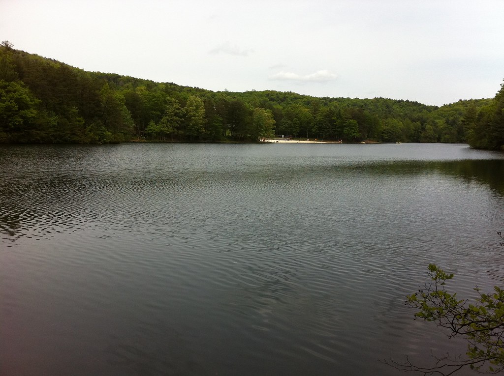 Big Rock TrailHikingPhoto: TranceMist, CC BY 2.0 (via Flickr)1.6 mi
- GahutiHikingPhoto: TranceMist, CC BY 2.0 (via Flickr)1.7 mi
- Lake TrailHikingPhoto: TranceMist, CC BY 2.0 (via Flickr)1.8 mi
 Goldmine Creek TrailHikingPhoto: TranceMist, CC BY 2.0 (via Flickr)2.1 mi
- Peeples LakeHiking3.5 mi
- Milma CreekHiking4.4 mi
- Conasauga CreekCanoeing7.8 mi
Source: Roamze catalog (indexable pages within 10 miles, PostGIS distance)
- Big Rock TrailHiking · ~3 min drivePhoto: TranceMist, CC BY 2.0 (via Flickr)
- GahutiHiking · ~3 min drivePhoto: TranceMist, CC BY 2.0 (via Flickr)
 Tear BritchesHiking · ~12 min drivePhoto: ChattOconeeNF, CC BY 2.0 (via Flickr)
- Emery Creek TrailHiking · ~12 min drivePhoto: ChattOconeeNF, CC BY 2.0 (via Flickr)
- Lake TrailHiking · ~3 min drivePhoto: TranceMist, CC BY 2.0 (via Flickr)
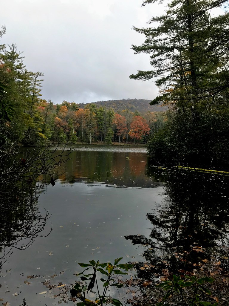 Grassy Mtn TowerHiking · ~10 min drivePhoto: ChattOconeeNF, CC BY 2.0 (via Flickr)
- Rock CreekHiking · ~8 min drive
- Goldmine Creek TrailHiking · ~4 min drivePhoto: TranceMist, CC BY 2.0 (via Flickr)
- Chestnut LeadHiking · ~15 min drive
- Conasauga River TrailHiking · ~15 min drive
Best time to visit North Stone Tower Trail
Best months: March–November. Best months have typical highs of 55–85 °F, lows of 30 °F or warmer (32 °F where the station doesn't record snow), at most one snowy day and no more than 12 wet days.
Jan
48° / 31°
10 wet · 1 snow
Feb
52° / 34°
9 wet
Mar
60° / 40°
10 wet
Apr
68° / 47°
9 wet
May
75° / 55°
9 wet
Jun
82° / 63°
10 wet
Jul
85° / 67°
11 wet
Aug
84° / 66°
9 wet
Sep
79° / 61°
8 wet
Oct
69° / 50°
8 wet
Nov
59° / 40°
8 wet
Dec
51° / 35°
10 wet
Typical high / low (°F) and days with rain or snow, 1991–2020. Measured at Jasper 1 Nnw, GA, 26 mi away at 1,465 ft. The station sits about 1,400 ft lower than this place, so expect it a little cooler here. Source: NOAA NCEI U.S. Climate Normals 1991–2020.
Closures we've recorded since August 2026
Spring 2026 Forest-wide Fire Restrictions
Chattahoochee-Oconee National Forests · Order dated April 23, 2026; seen Aug 23, 2026 → lifted Oct 13, 2026 · Forest Service


Route details
- Distance
- 0.5 mi round trip
- Climbing
- About 657 ft
- Summit
- 2,851 ft
- Difficulty
- Easy
- Time
- About 0.5 hours
Other routes up Fort Mountain
Questions about this route
How long is the North Stone Tower Trail on Fort Mountain?
About 0.5 mi round trip.
How much elevation gain is on the North Stone Tower Trail?
About 657 ft of climbing round trip.
How hard is the North Stone Tower Trail?
It is rated easy.
How long does the North Stone Tower Trail take?
About 0.5 hours round trip.
How many routes go up Fort Mountain?
2: North Stone Tower Trail and West Overlook Trail.
Map and trail data © OpenStreetMap contributors
