
Highland Lakes Upper Campground
Campground
4.0 mi from the trail
Asa Lake is a 4.8-mile out-and-back hike in the Carson-Iceberg Wilderness, part of the Carson Ranger District of the Humboldt-Toiyabe National Forest in California. The trail climbs from a low point of 7,697 feet to a high of 8,410 feet, a gain of 754 feet, and is rated moderate. The Forest Service manages the land. The route is natural-surfaced and allows horses, and bikes are not permitted. It is open year-round. Summer is the most comfortable time to go. Typical averages from a nearby weather station at Dagget Pass, Nevada, show July highs around 75°F with lows near 49°F, and the station sits about 1,000 feet below the trail's high point, so temperatures on the ridge run cooler. Wolf Creek lies just 0.1 mile away, and Bull Canyon is about 1.3 miles off. Highland Lakes campground is 4.1 miles away, and the East Fork Carson River offers canoeing about 3.7 miles from the trail.
Where it is: Carson-Iceberg Wilderness · Carson Ranger District
Near: Kirkwood
Best months: May–October. Best months have typical highs of 55–85 °F, lows of 30 °F or warmer (32 °F where the station doesn't record snow), at most one snowy day and no more than 12 wet days.
Jan
36°
23°
9 wet
Feb
37°
23°
8 wet
Mar
42°
26°
7 wet
Apr
48°
29°
5 wet
May
56°
35°
4 wet
Jun
66°
42°
2 wet
Jul
75°
49°
2 wet
Aug
74°
49°
1 wet
Sep
67°
44°
2 wet
Oct
55°
36°
3 wet
Nov
43°
28°
5 wet
Dec
35°
23°
7 wet
Typical high / low (°F) and days with rain or snow, 1991–2020. Measured at Dagget Pass, NV, 33.8 mi away at 7,334 ft. The station sits about 1,100 ft lower than this place, so expect it a little cooler here. This station doesn't record snowfall. Source: NOAA NCEI U.S. Climate Normals 1991–2020.
Been here? Tell people how it was.
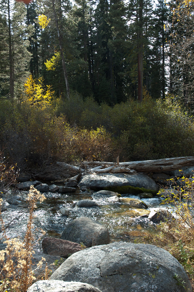 Disaster CreekHikingPhoto: Chris Mayer, CC BY 2.0 (via Flickr)~10 min drive
 Corral ValleyHikingPhoto: jfdervin, CC BY-SA 2.0 (via Flickr)~12 min drive
 Deer CreekHikingPhoto: GSEC, CC BY 2.0 (via Flickr)~16 min drive
 Clark ForkHikingPhoto: GSEC, CC BY 2.0 (via Flickr)~10 min driveWillow MdwHikingPhoto: GSEC, CC BY 2.0 (via Flickr)~15 min drive
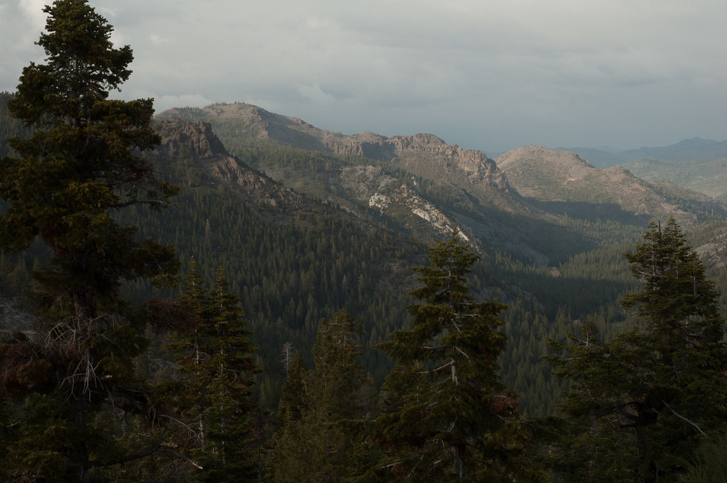 Noble CanyonHikingPhoto: Chris Mayer, CC BY 2.0 (via Flickr)~11 min drive
 DrivewayHikingPhoto: jfdervin, CC BY-SA 2.0 (via Flickr)~15 min drive
Daily highs and lows, wind and the chance of precipitation at Start for the next 7 days, from the Open-Meteo model.
Questions about Asa Lake: conditions, access, timing. Answers say when something isn't known.
Highland Lakes Upper Campground
Campground
Alpine County Museum
Museum
Places © OpenStreetMap contributors, Places © Overture Maps Foundation
More in Bear Valley