The Praying Monk
At a glance
The Praying Monk is a summit of 2,272 feet in Echo Canyon Park, about 2.4 miles from Paradise Valley, Arizona. It sits among a cluster of climbing areas and trails, so it works well as a destination in its own right or as a stop along the way to other outings in the park. Spring and fall are the most comfortable times to visit. Typical averages from a nearby weather station in Scottsdale show March highs around 76°F and October highs around 87°F, while summer highs climb into the low 100s. That station sits roughly 800 feet lower than the summit, so temperatures on top run cooler. The closest neighbors are Camelback Mountain and Gargoyle Wall, both climbing areas about 0.1 mile away, and Echo Canyon Trail, a hike at the same distance. Cholla Trail is about half a mile off.
- summit
- 2,272 ft
- best months
- Nov–Apr
Where it is: Echo Canyon Park
Near: Phoenix
Best time to visit The Praying Monk
Best months: November–April. Best months have typical highs of 55–85 °F, lows of 30 °F or warmer (32 °F where the station doesn't record snow), at most one snowy day and no more than 12 wet days.
Jan
67°
43°
4 wet
Feb
69°
46°
4 wet
Mar
76°
52°
3 wet
Apr
83°
58°
1 wet
May
92°
67°
1 wet
Jun
102°
76°
1 wet
Jul
104°
83°
3 wet
Aug
103°
82°
4 wet
Sep
98°
75°
3 wet
Oct
87°
63°
2 wet
Nov
75°
51°
2 wet
Dec
65°
43°
4 wet
Typical high / low (°F) and days with rain or snow, 1991–2020. Measured at Scottsdale Muni Ap, AZ, 8 mi away at 1,473 ft. The station sits about 800 ft lower than this place, so expect it a little cooler here. This station doesn't record snowfall. Source: NOAA NCEI U.S. Climate Normals 1991–2020.
Been here? Tell people how it was.
We don't know of a mapped trail or route to the summit of The Praying Monk. Plan the approach with local maps, a guidebook or a local guide, and check conditions before you go.
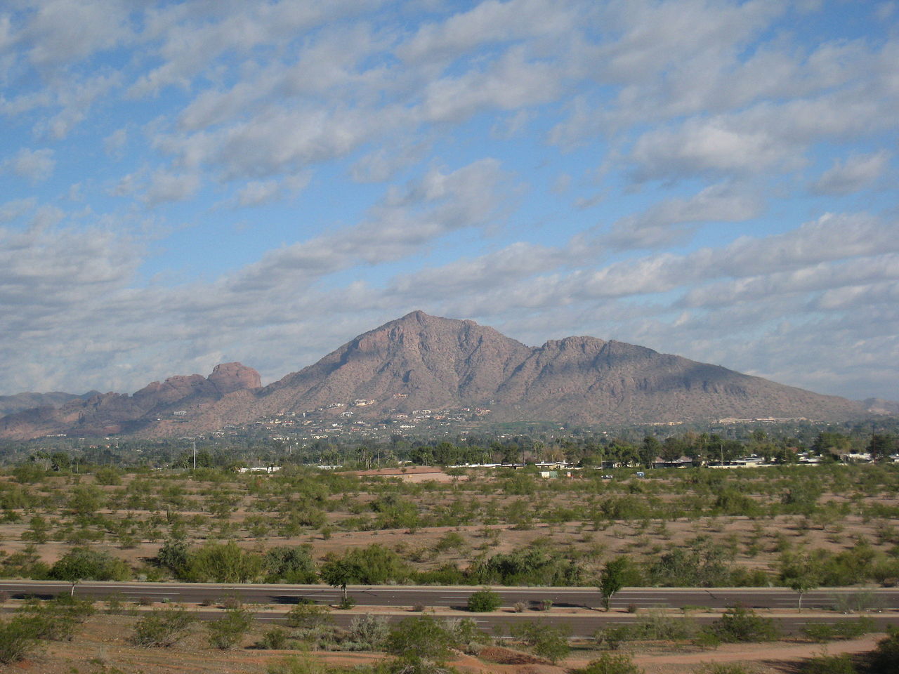 Camelback Mountain2,702 ft · Arizona2 routes0.6 mi awayPhoto: Dru Bloomfield from Scottsdale, Arizona, USA, CC BY 2.0 (via Wikimedia Commons)
 Piestewa Peak2,596 ft · Arizona1 route3.5 mi awayPhoto: Ted Eytan, CC BY-SA 2.0 (via Wikimedia Commons)
 North Mountain2,099 ft · Arizona1 route7.5 mi awayPhoto: Aznaturalist, CC BY-SA 3.0 (via Wikimedia Commons)
 Thompson Peak3,983 ft · Arizona1 route13 mi awayPhoto: GreenGibbon, CC BY-SA 3.0 (via Wikimedia Commons)
- Goat Hill2,331 ft · Arizona2 routes15 mi away
- Deem Hills2,103 ft · Arizona1 route18 mi away
 Gargoyle WallRock climbingPhoto: Spikebrennan, CC BY-SA 3.0 (via Wikimedia Commons)0.1 mi
- Camelback MountainRock climbingPhoto: Spikebrennan, CC BY-SA 3.0 (via Wikimedia Commons)0.1 mi
 Echo Canyon TrailHikingPhoto: Hari Seldon, CC BY-SA 3.0 (via Wikimedia Commons)0.1 mi
- The HeadwallRock climbingPhoto: Spikebrennan, CC BY-SA 3.0 (via Wikimedia Commons)0.1 mi
- Western Bouldering AreaRock climbingPhoto: Hari Seldon, CC BY-SA 3.0 (via Wikimedia Commons)0.2 mi
- Cholla TrailHiking0.5 mi
- Quartz Ridge Trail 8AHiking2.6 mi
 Salt RiverCanoeingPhoto: Alan Stark from Goodyear, AZ, United States, CC BY-SA 2.0 (via Wikimedia Commons)7 mi
- Camelback MountainSummitPhoto: Dru Bloomfield from Scottsdale, Arizona, USA, CC BY 2.0 (via Wikimedia Commons)Next door
- Piestewa PeakSummitPhoto: Ted Eytan, CC BY-SA 2.0 (via Wikimedia Commons)~6 min drive
- North MountainSummitPhoto: Aznaturalist, CC BY-SA 3.0 (via Wikimedia Commons)~13 min drive
- Thompson PeakSummitPhoto: GreenGibbon, CC BY-SA 3.0 (via Wikimedia Commons)~22 min drive
 Gavilan PeakSummitPhoto: Phoenix500, CC BY-SA 3.0 (via Wikimedia Commons)~48 min drive
 Poston ButteSummitPhoto: Aznaturalist, CC BY-SA 3.0 (via Wikimedia Commons)~1h 18m drive
 Pass MountainSummitPhoto: Z Glyph, CC BY 3.0 (via Wikimedia Commons)~37 min drive
- Goat HillSummit~25 min drive
- Pinnacle PeakSummit~27 min drive
- Deem HillsSummit~31 min drive
Conditions and forecast
Daily highs and lows, wind and the chance of precipitation at the summit for the next 7 days, from the Open-Meteo model.
Questions about The Praying Monk
How tall is The Praying Monk?
2,272 ft (693 m).
Is there a trail to the top of The Praying Monk?
We don't know of a mapped trail or route to the summit. Plan the approach with local maps, a guidebook or a local guide.
Ask about this place
Questions about The Praying Monk: conditions, access, timing. Answers say when something isn't known.
