Echo Canyon Trail
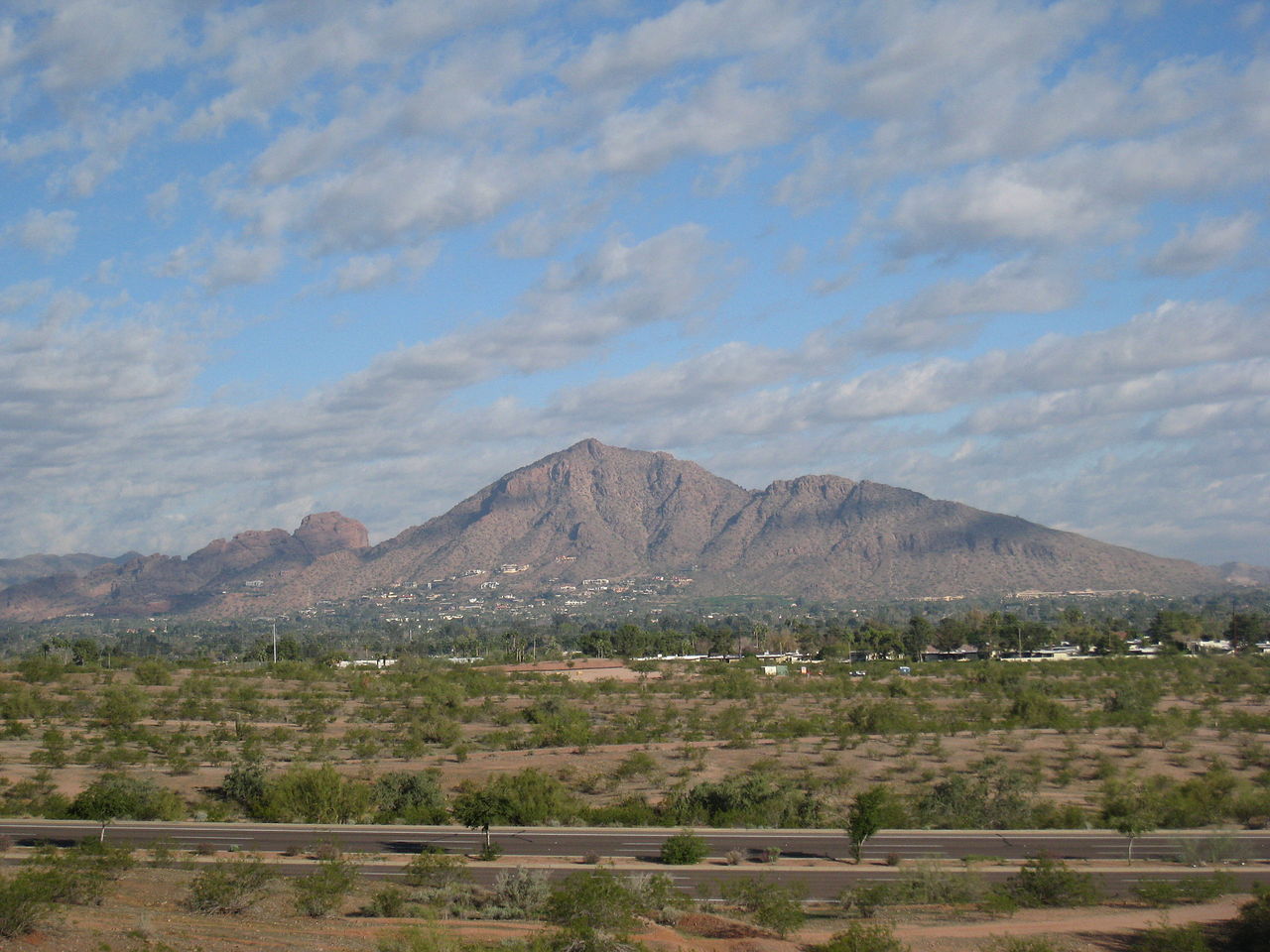
 Photo: Hari Seldon, CC BY-SA 3.0 (via Wikimedia Commons)
- 0.6 mi
- round trip
- 1,029 ft
- climb
- 2,581 ft
- high point
- Out and back
- route
- Oct–Apr
- best months
Echo Canyon Trail is a 1.3-mile out-and-back hike in Echo Canyon Park, on county land in Arizona. The trail starts at about 1,718 feet and climbs to roughly 2,581 feet, with a total gain of about 1,029 feet. The climb is front-loaded, and the steepest stretch comes around 0.4 miles in, where the grade reaches about 46%. The trail is rated hard. Spring and fall are the most comfortable times to go. Typical averages from a nearby weather station at Pinnacle Peak show April highs around 79°F and October highs around 83°F, while July and August average in the upper 90s. The trail sits right next to several climbing areas, including Gargoyle Wall and Headwall, both about 0.1 mile away, and Camelback Mountain at about 0.2 mile. Cholla Trail is about half a mile off.
Local outfitters
- Arizona Desert Mountain Jeep Tours22 mi away
- VIP RV Resort25 mi away
Not on Roamze yet. Their page has how to reach them.
Conditions and forecast on Camelback Mountain
Daily highs and lows, wind and the chance of precipitation at the summit and route start for the next 7 days, from the Open-Meteo model.
 Gargoyle WallRock climbingPhoto: Spikebrennan, CC BY-SA 3.0 (via Wikimedia Commons)0.1 mi
- The HeadwallRock climbingPhoto: Spikebrennan, CC BY-SA 3.0 (via Wikimedia Commons)0.1 mi
- Western Bouldering AreaRock climbingPhoto: Hari Seldon, CC BY-SA 3.0 (via Wikimedia Commons)0.2 mi
- Camelback MountainRock climbingPhoto: Spikebrennan, CC BY-SA 3.0 (via Wikimedia Commons)0.2 mi
- Cholla TrailHiking0.5 mi
- Quartz Ridge Trail 8AHiking2.6 mi
 Dixie Peak TrailHikingPhoto: aspidoscelis, Public Domain Dedication (CC0) (via Flickr)2.7 mi
 Salt RiverCanoeingPhoto: Alan Stark from Goodyear, AZ, United States, CC BY-SA 2.0 (via Wikimedia Commons)7 mi
Source: Roamze catalog (indexable pages within 10 miles, PostGIS distance)
- Dixie Peak TrailHiking · ~5 min drivePhoto: aspidoscelis, Public Domain Dedication (CC0) (via Flickr)
- Cholla TrailHiking · Next door
- Perl Charles Trail 1AHiking · ~8 min drive
 L.V. Yates Trail 8Hiking · ~5 min drivePhoto: Joe K Gage, CC BY-SA 2.0 (via Flickr)
- Freedom Trail 302Hiking · ~6 min drive
- Charles M. Christiansen Trail 100Hiking · ~10 min drive
 Arizona Canal PathHiking · ~6 min drivePhoto: Tanque Verde, CC BY 2.0 (via Flickr)
- Summit Trail 300Hiking · ~6 min drive
- Nature Trail 304Hiking · ~6 min drivePhoto: Joe K Gage, CC BY-SA 2.0 (via Flickr)
- VOAZ Trail #1BHiking · ~6 min drivePhoto: Joe K Gage, CC BY-SA 2.0 (via Flickr)
Also worth it near here
Best time to visit Echo Canyon Trail
Best months: October–April. Best months have typical highs of 55–85 °F, lows of 30 °F or warmer (32 °F where the station doesn't record snow), at most one snowy day and no more than 12 wet days.
Jan
64° / 43°
Feb
66° / 45°
Mar
72° / 49°
Apr
79° / 54°
May
87° / 62°
Jun
96° / 71°
Jul
99° / 76°
Aug
98° / 75°
Sep
94° / 71°
Oct
83° / 61°
Nov
72° / 50°
Dec
63° / 42°
Typical high / low (°F) and days with rain or snow, 1991–2020. Measured at Pinnacle Peak, AZ, 15.6 mi away at 2,565 ft. This station doesn't record snowfall. Source: NOAA NCEI U.S. Climate Normals 1991–2020.
Route details
- Distance
- 0.6 mi round trip
- Climbing
- About 1,029 ft
- Summit
- 2,702 ft
- Difficulty
- Hard
- Time
- About 0.5 hours
Other routes up Camelback Mountain
Questions about this route
How long is the Echo Canyon Trail on Camelback Mountain?
About 0.6 mi round trip.
How much elevation gain is on the Echo Canyon Trail?
About 1,029 ft of climbing round trip.
How hard is the Echo Canyon Trail?
It is rated hard.
How long does the Echo Canyon Trail take?
About 0.5 hours round trip.
How many routes go up Camelback Mountain?
2: Echo Canyon Trail and Cholla Trail.
Map and trail data © OpenStreetMap contributors
