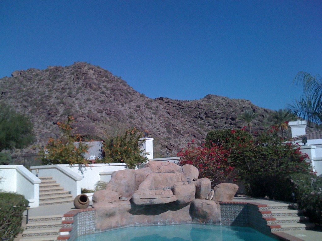
Goat Hill
- 2,331 ft
- summit
- 2
- ways up
- Nov–Mar
- best months
Goat Hill is a summit of 2,331 feet in Phoenix South Mountain Park in Arizona, about 4.7 miles from the town of Komatke. The Ranger Trail passes just 0.1 mile away, making it the natural starting point for a visit. Winter and early spring are the most comfortable times to go. Typical averages from a nearby weather station show January highs around 67°F with lows near 43°F, while summer highs climb into the mid-100s. That station sits well below the summit, so temperatures on top run cooler. Several trails lie within a mile, including the Bajada Trail and the Max Delta Trail. Climbers can head to the South Mountain climbing area, about 1.3 miles away.
Conditions and forecast
Daily highs and lows, wind and the chance of precipitation at the summit and route start for the next 7 days, from the Open-Meteo model.
- Summit elevation
- 2,331 ft
Elevation from USGS 3D Elevation Program terrain data (about 10 m resolution).
- Ranger TrailHardabout 1,909 ft of climbing3.0 mi round trip
- National TrailHardabout 1,282 ft of climbing27.3 mi round trip
Compare the routes Ranger Trail National Trail Climbing About 1,909 ft About 1,282 ft Round trip 3.0 mi 27.3 mi Difficulty Hard Hard Terrain Hike Hike Map © Mapbox © OpenStreetMap contributors Questions about Goat Hill
How tall is Goat Hill?
2,331 ft (710 m).
How many routes go to the summit of Goat Hill?
2: Ranger Trail and National Trail.
What is the shortest route up Goat Hill?
Ranger Trail, about 3.0 mi round trip.
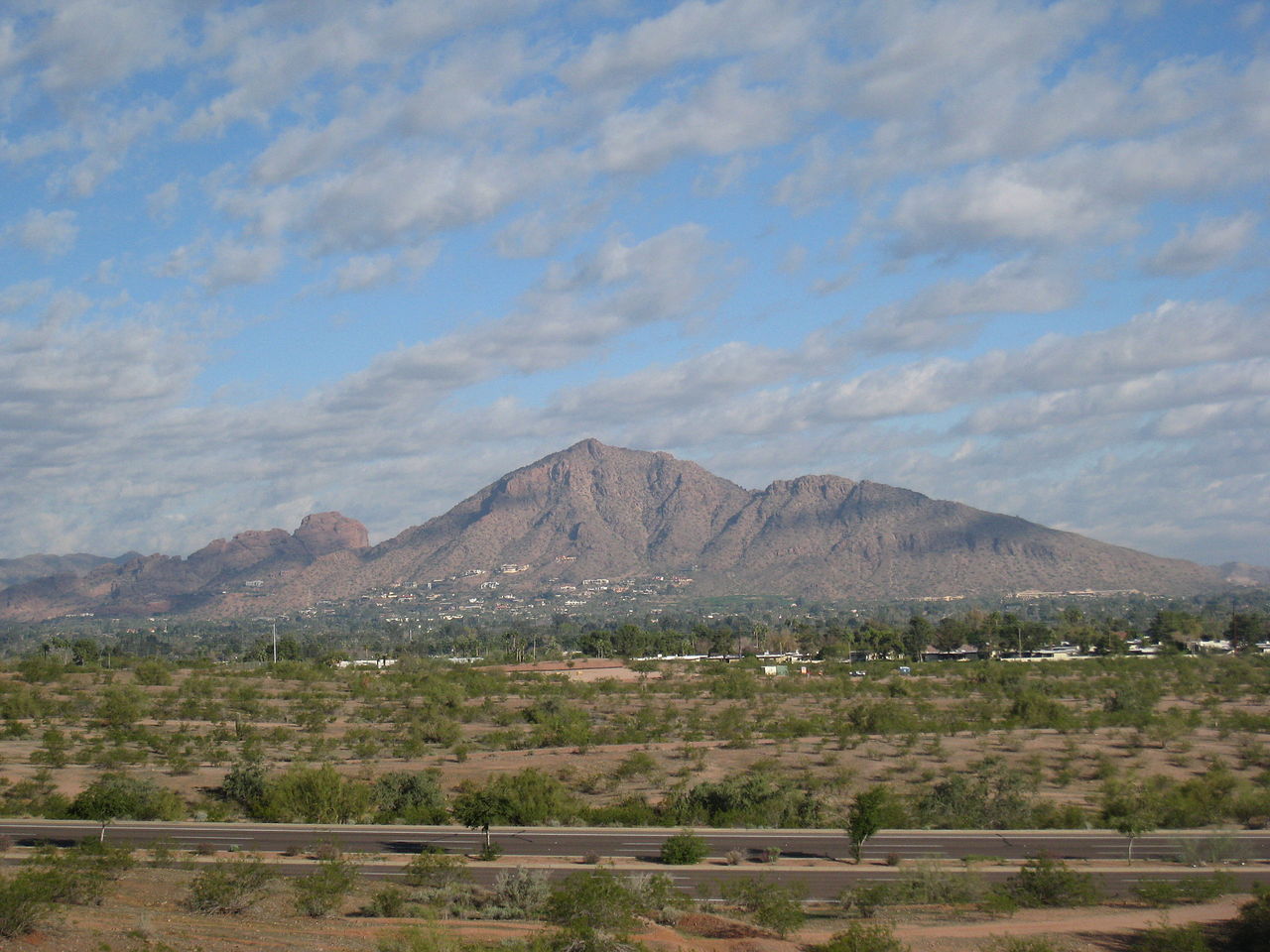 Camelback Mountain2,702 ft · Arizona2 routes15 mi awayPhoto: Dru Bloomfield from Scottsdale, Arizona, USA, CC BY 2.0 (via Wikimedia Commons)
 Piestewa Peak2,596 ft · Arizona1 route16 mi awayPhoto: Ted Eytan, CC BY-SA 2.0 (via Wikimedia Commons)
 North Mountain2,099 ft · Arizona1 route18 mi awayPhoto: Aznaturalist, CC BY-SA 3.0 (via Wikimedia Commons)
 Thompson Peak3,983 ft · Arizona1 route27 mi awayPhoto: GreenGibbon, CC BY-SA 3.0 (via Wikimedia Commons)
- Deem Hills2,103 ft · Arizona1 route28 mi away
- East Wing Mountain1,936 ft · Arizona1 route29 mi away
 Ranger TrailHikingPhoto: squeaks2569, CC BY-SA 2.0 (via Flickr)0.1 mi
- Bajada TrailHikingPhoto: squeaks2569, CC BY-SA 2.0 (via Flickr)0.6 mi
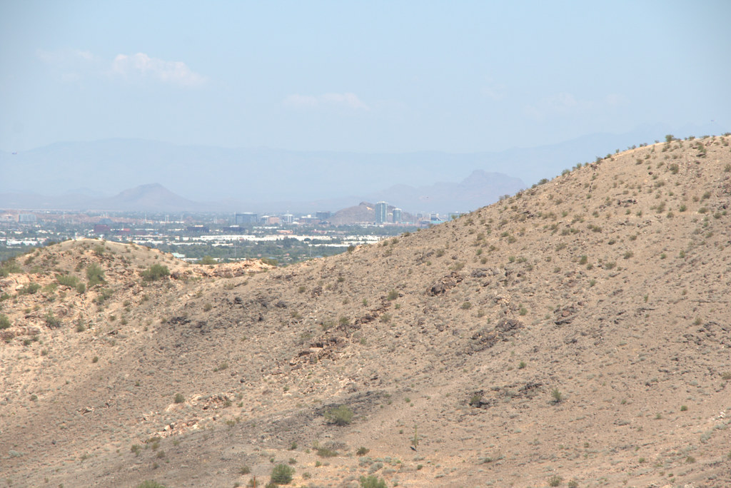 Max Delta TrailHikingPhoto: Ktr101, CC BY-SA 2.0 (via Flickr)0.9 mi
- Kiwanis TrailHiking0.9 mi
- GremlinsRock climbing1.3 mi
- South MountainRock climbing1.3 mi
- Wildlife Canyon (Closures in Effect)Rock climbing1.3 mi
- Santa Cruz WashCanoeing9.3 mi
Source: Roamze catalog (indexable pages within 10 miles, PostGIS distance)
- Camelback MountainSummit · ~25 min drivePhoto: Dru Bloomfield from Scottsdale, Arizona, USA, CC BY 2.0 (via Wikimedia Commons)
- Piestewa PeakSummit · ~27 min drivePhoto: Ted Eytan, CC BY-SA 2.0 (via Wikimedia Commons)
- North MountainSummit · ~31 min drivePhoto: Aznaturalist, CC BY-SA 3.0 (via Wikimedia Commons)
- Thompson PeakSummit · ~46 min drivePhoto: GreenGibbon, CC BY-SA 3.0 (via Wikimedia Commons)
 Isanaklesh PeaksSummit · ~1h 8m drivePhoto: Unknown authorUnknown author, Public domain (via Wikimedia Commons)
 Gavilan PeakSummit · ~1h 9m drivePhoto: Phoenix500, CC BY-SA 3.0 (via Wikimedia Commons)
 Poston ButteSummit · ~1h 15m drivePhoto: Aznaturalist, CC BY-SA 3.0 (via Wikimedia Commons)
 Pass MountainSummit · ~52 min drivePhoto: Z Glyph, CC BY 3.0 (via Wikimedia Commons)
- The Praying MonkSummit · ~25 min drive
- Deem HillsSummit · ~48 min drive
Best time to visit Goat Hill
Best months: November–March. Best months have typical highs of 55–85 °F, lows of 30 °F or warmer (32 °F where the station doesn't record snow), at most one snowy day and no more than 12 wet days.
Jan
67° / 43°
3 wet
Feb
71° / 45°
3 wet
Mar
79° / 51°
2 wet
Apr
87° / 56°
1 wet
May
96° / 66°
1 wet
Jun
106° / 75°
1 wet
Jul
107° / 81°
2 wet
Aug
106° / 81°
3 wet
Sep
101° / 74°
2 wet
Oct
89° / 61°
2 wet
Nov
76° / 50°
2 wet
Dec
66° / 42°
3 wet
Typical high / low (°F) and days with rain or snow, 1991–2020. Measured at Laveen 3 Sse, AZ, 3.4 mi away at 1,135 ft. The station sits about 1,200 ft lower than this place, so expect it a little cooler here. Source: NOAA NCEI U.S. Climate Normals 1991–2020.