Summitt
At a glance
Summitt is a moderate out-and-back hike of about 5 miles in the Humboldt-Toiyabe National Forest's Mountain City-Ruby Mountains-Jarbidge Ranger District in Nevada, on Forest Service land. The trail gains about 1,300 feet in elevation, with the high point at 8,511 feet. The climb is front-loaded, and the steepest stretch comes early, around mile 1, where the grade reaches about 43 percent. The hike starts at roughly 7,600 feet and climbs to the summit at about 8,500 feet before returning, with the total round-trip gain and loss each about 1,800 feet. Plan on about 2.5 hours for the trip. Summitt Spur A lies about half a mile away, and the Dip and McDonald hikes are each about 2 miles off. The Gulch Spur A trail is a little farther, at about 2.2 miles.
- round trip
- 2.6 mi
- climb
- 1,815 ft
- high point
- 8,511 ft
- route
- Out and back
- time
- About 1.5 hours
Where it is: Mountain City-Ruby Mountains-Jarbidge Ranger District · Humboldt-Toiyabe National Forest
Near: Jackpot
Been here? Tell people how it was.
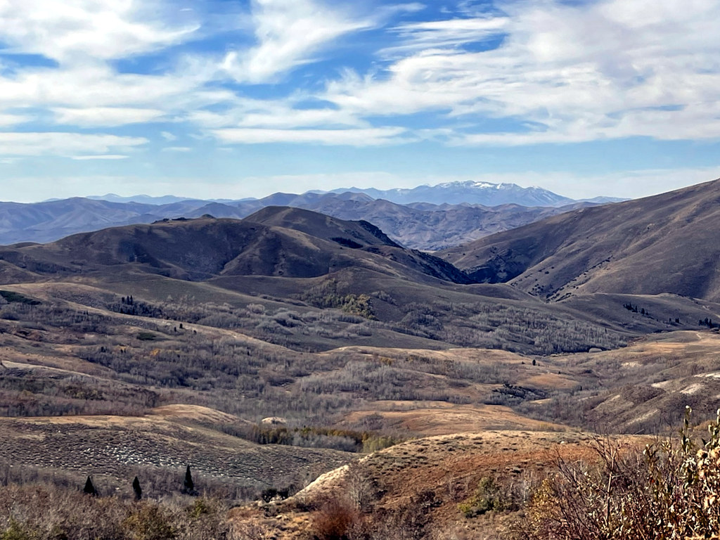 Pine CreekHikingPhoto: simonov, CC BY-SA 2.0 (via Flickr)~36 min drive
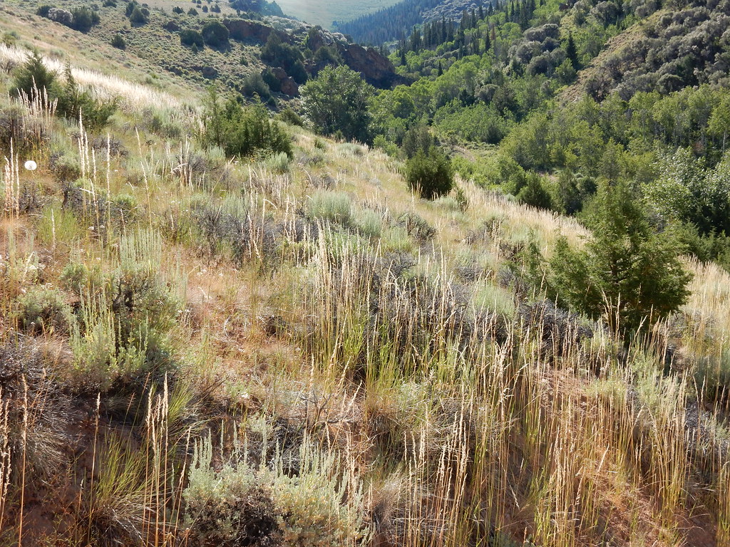 Jenny CreekHikingPhoto: Matt Lavin, CC BY-SA 2.0 (via Flickr)~36 min drive
 Jenny CreekHikingPhoto: Matt Lavin, CC BY-SA 2.0 (via Flickr)~39 min drive
- SUMMITT SPUR AHiking~1 min drive
- JennyHikingPhoto: Matt Lavin, CC BY-SA 2.0 (via Flickr)~38 min drive
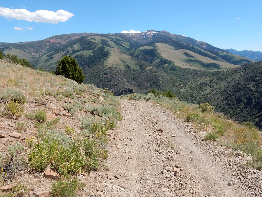 Clover TrailHikingPhoto: Matt Lavin, CC BY-SA 2.0 (via Flickr)~37 min drive
- DipHiking~4 min drive
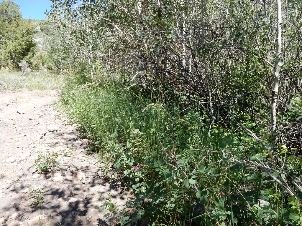 Jack CreekHikingPhoto: Matt Lavin, CC BY-SA 2.0 (via Flickr)~38 min drive
 Altitude TrailHikingPhoto: Matt Lavin, CC BY-SA 2.0 (via Flickr)~41 min drive
- Gulch Spur AHiking~4 min drive
Conditions and forecast
Caution todayAgency alerts are in effect for this areaUSFS · checked 11 min agoDaily highs and lows, wind and the chance of precipitation at Start for the next 7 days, from the Open-Meteo model.

Ask about this place
Questions about Summitt: conditions, access, timing. Answers say when something isn't known.
