Jenny
 Photo: Matt Lavin, CC BY-SA 2.0 (via Flickr)
- 1.9 mi
- round trip
- 1,103 ft
- climb
- 8,043 ft
- high point
- Out and back
- route
Caution at last check
Agency alerts are in effect for this area; weather is good · USFS, OpenWeather · checked 20 h ago
Is Jenny open right now?
Closure in the area
There's a closure order in Humboldt-Toiyabe National Forest. It doesn't name Jenny, so check the source for the area it covers.
Elephant Fire Closure
Agency closure covering Humboldt-Toiyabe National Forest · Order 04-17-26-01-04 · USFS · Humboldt-Toiyabe National Forest
Road Closure for Construction Work (Mountain City-Ruby Mountains-Jarbidge Ranger Districts)
Agency alert covering Mountain City-Ruby Mountains-Jarbidge Ranger District · Order 04-17-26-06-04 · USFS · Mountain City-Ruby Mountains-Jarbidge Ranger District
Area, Road, and Trail Closures (Spring Mountains National Recreation Area)
Agency alert covering Humboldt-Toiyabe National Forest · Order 04-17-25-04 · USFS · Humboldt-Toiyabe National Forest
Year-Round Fire Restrictions (Spring Mountains National Recreation Area)
Agency alert covering Humboldt-Toiyabe National Forest · Order 04-17-24-01 · USFS · Humboldt-Toiyabe National Forest
Vehicle Snow Chain Requirements during Inclement Weather (Spring Mountains National Recreation Area)
Agency alert covering Humboldt-Toiyabe National Forest · Order 04-17-23-01 · USFS · Humboldt-Toiyabe National Forest
As of · Source: USFS · Humboldt-Toiyabe National Forest. Agencies don't list every closure — check before you go.
Jenny is a hard hike in the Humboldt-Toiyabe National Forest, within the Mountain City-Ruby Mountains-Jarbidge Ranger District in northeastern Nevada. The Forest Service manages the land, and the route starts at about 6,938 feet, rising to about 8,043 feet over a roughly 1.9-mile out-and-back. The climb is a significant one. The trail gains about 1,103 feet, and the high point sits around 8,000 feet, so plan on a long day with plenty of time for rest and fuel. Other trails lie close by. Jack Creek is about 0.7 miles away, and Jenny Creek is about a mile off. Clover Trail is about 1.3 miles away. For an overnight, Sawmill Campground is about 1.5 miles from the trailhead.
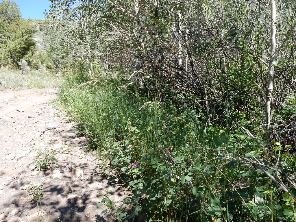 Jack CreekHikingPhoto: Matt Lavin, CC BY-SA 2.0 (via Flickr)0.7 mi
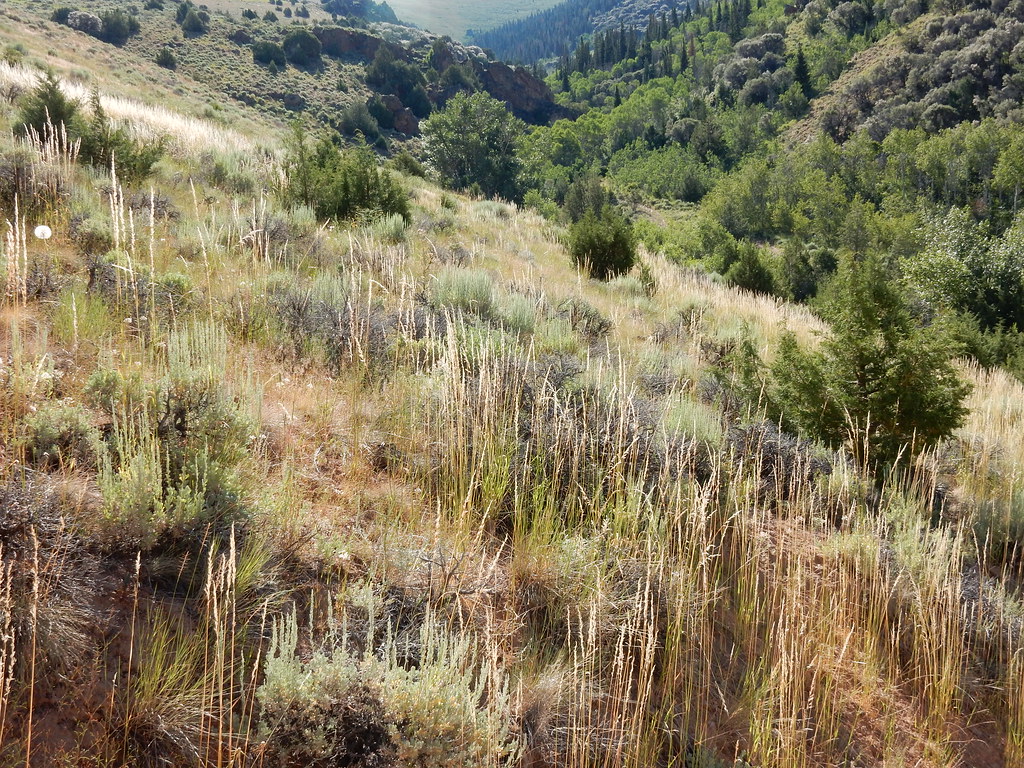 Jenny CreekHikingPhoto: Matt Lavin, CC BY-SA 2.0 (via Flickr)1 mi
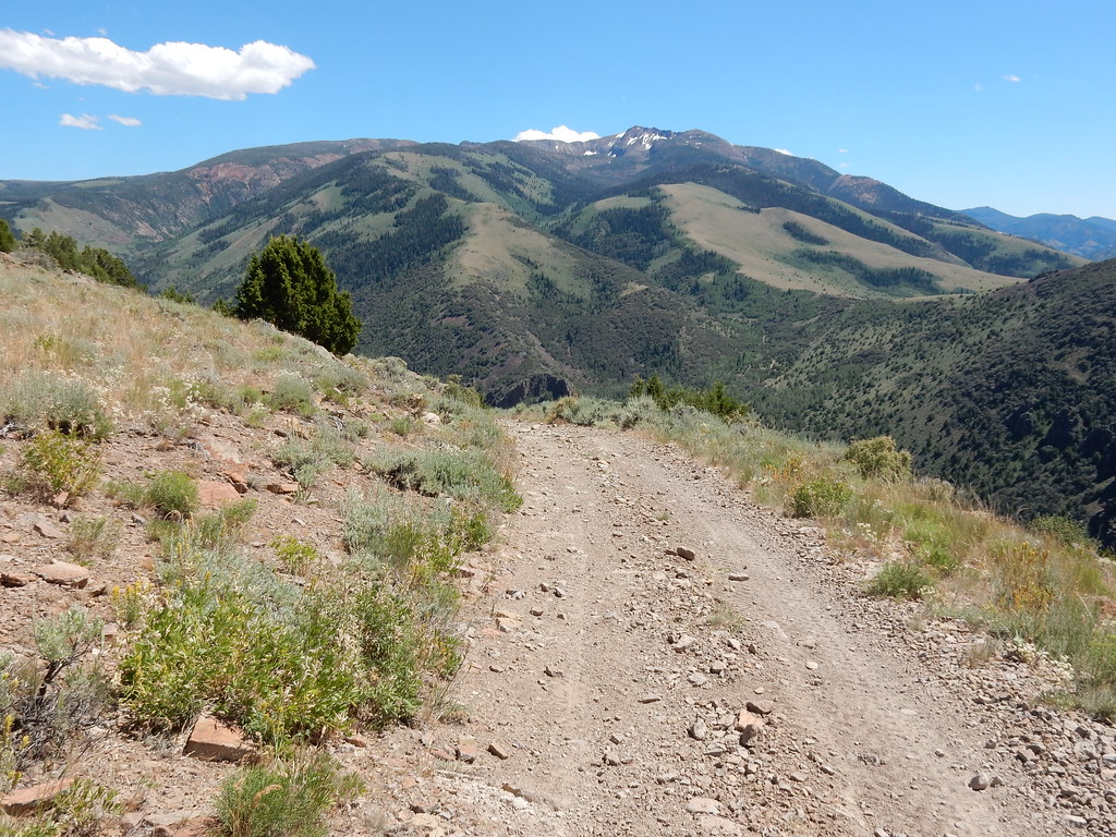 Clover TrailHikingPhoto: Matt Lavin, CC BY-SA 2.0 (via Flickr)1.3 mi
- Sawmill CampgroundCamping1.5 mi
- Jarbidge RiverRiver fishing2.2 mi
- Pavlak CampgroundCamping3.3 mi
- Upper Bluster CampgroundCamping3.5 mi
- Buck CreekCanoeing4.2 mi
Source: Roamze catalog (indexable pages within 10 miles, PostGIS distance)
- Jack CreekHiking · ~1 min drivePhoto: Matt Lavin, CC BY-SA 2.0 (via Flickr)
- Jenny CreekHiking · ~2 min drivePhoto: Matt Lavin, CC BY-SA 2.0 (via Flickr)
 Slide CreekHiking · ~15 min drivePhoto: Matt Lavin, CC BY-SA 2.0 (via Flickr)
- Jack 5Hiking · ~5 min drive
 Three Day CreekHiking · ~6 min drivePhoto: Matt Lavin, CC BY-SA 2.0 (via Flickr)
- Clover TrailHiking · ~2 min drivePhoto: Matt Lavin, CC BY-SA 2.0 (via Flickr)
- Jenny CreekHiking · ~2 min drivePhoto: Matt Lavin, CC BY-SA 2.0 (via Flickr)
- MillHiking · ~6 min drive
 East Fork Jarbidge RiverHiking · ~9 min drivePhoto: Matt Lavin, CC BY-SA 2.0 (via Flickr)
 Altitude TrailHiking · ~3 min drivePhoto: Matt Lavin, CC BY-SA 2.0 (via Flickr)


