Taylor
- 1.8 mi
- round trip
- 380 ft
- climb
- 6,147 ft
- high point
- Out and back
- route
- May–Oct
- best months
Is Taylor open right now?
Closure in the area
There's a closure order in Humboldt-Toiyabe National Forest. It doesn't name Taylor, so check the source for the area it covers.
Elephant Fire Closure
Agency closure covering Humboldt-Toiyabe National Forest · Order 04-17-26-01-04 · USFS · Humboldt-Toiyabe National Forest
Road Closure for Construction Work (Mountain City-Ruby Mountains-Jarbidge Ranger Districts)
Agency alert covering Mountain City-Ruby Mountains-Jarbidge Ranger District · Order 04-17-26-06-04 · USFS · Mountain City-Ruby Mountains-Jarbidge Ranger District
Area, Road, and Trail Closures (Spring Mountains National Recreation Area)
Agency alert covering Humboldt-Toiyabe National Forest · Order 04-17-25-04 · USFS · Humboldt-Toiyabe National Forest
Year-Round Fire Restrictions (Spring Mountains National Recreation Area)
Agency alert covering Humboldt-Toiyabe National Forest · Order 04-17-24-01 · USFS · Humboldt-Toiyabe National Forest
Vehicle Snow Chain Requirements during Inclement Weather (Spring Mountains National Recreation Area)
Agency alert covering Humboldt-Toiyabe National Forest · Order 04-17-23-01 · USFS · Humboldt-Toiyabe National Forest
As of · Source: USFS · Humboldt-Toiyabe National Forest. Agencies don't list every closure — check before you go.
Taylor is an easy out-and-back hike of about 1.8 miles in the Mountain City-Ruby Mountains-Jarbidge Ranger District of Humboldt-Toiyabe National Forest in northeastern Nevada. The Forest Service manages the land, and the trail rises from about 5,758 feet to about 6,147 feet, a climb of roughly 380 feet one way. Summer is the most comfortable time to go. Typical averages from the nearby Jarbidge weather station, at a similar elevation, run to highs around 83 to 84°F in July and August, with lows near 48°F. Winter is cold, with January highs around 38°F and lows near 17°F. Taylor 2 lies about 1.4 miles away, and McDonald and Diamond 1 are both within about 5 miles. For an overnight stay, Big Bend Campground is about 8.3 miles off.
- Taylor 2Hiking1.4 mi
- McdonaldHiking5.1 mi
- Diamond 1Hiking5.4 mi
 Bruneau RiverCanoeingPhoto: BLM, Public domain (via Wikimedia Commons)6.4 mi
- SUMMITTHiking6.9 mi
- SUMMITT SPUR AHiking7 mi
- DipHiking8.1 mi
- Big Bend CampgroundCamping8.3 mi
Source: Roamze catalog (indexable pages within 10 miles, PostGIS distance)
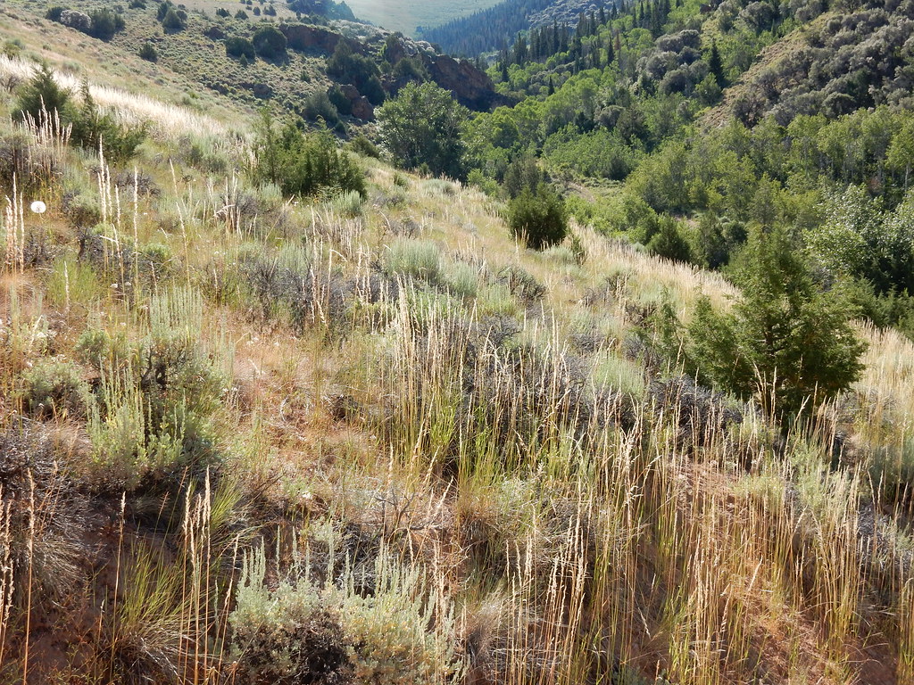 Jenny CreekHiking · ~24 min drivePhoto: Matt Lavin, CC BY-SA 2.0 (via Flickr)
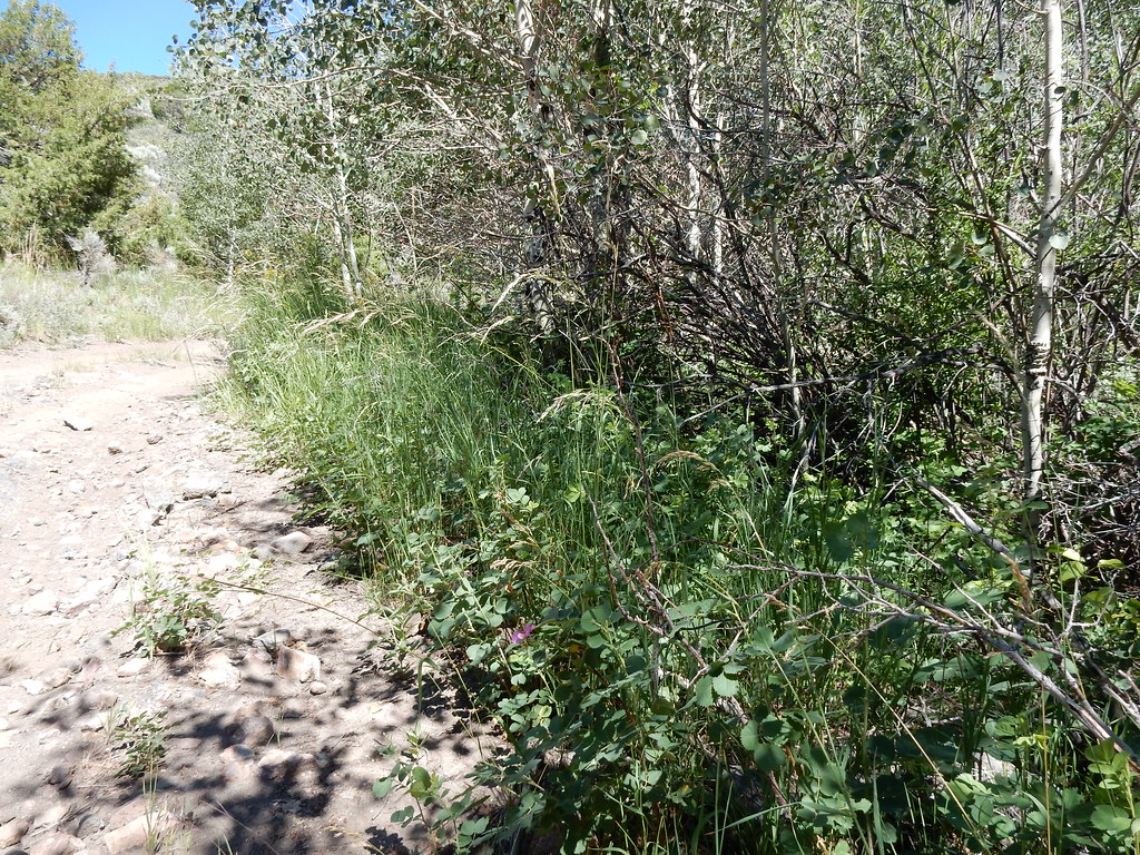 Jack CreekHiking · ~26 min drivePhoto: Matt Lavin, CC BY-SA 2.0 (via Flickr)
 Jenny CreekHiking · ~27 min drivePhoto: Matt Lavin, CC BY-SA 2.0 (via Flickr)
- Taylor 2Hiking · ~2 min drive
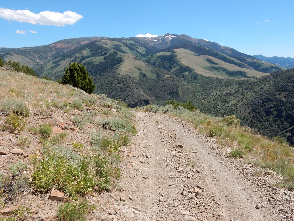 Clover TrailHiking · ~25 min drivePhoto: Matt Lavin, CC BY-SA 2.0 (via Flickr)
 West Marys River to Camp DrawHiking · ~28 min drivePhoto: simonov, CC BY-SA 2.0 (via Flickr)
- West Marys River - Camp Draw TrailHiking · ~32 min drive
- SUMMITT SPUR AHiking · ~12 min drive
 Altitude TrailHiking · ~29 min drivePhoto: Matt Lavin, CC BY-SA 2.0 (via Flickr)
 Three Day CreekHiking · ~32 min drivePhoto: Matt Lavin, CC BY-SA 2.0 (via Flickr)
Best time to visit Taylor
Best months: May–October. Best months have typical highs of 55–85 °F, lows of 30 °F or warmer (32 °F where the station doesn't record snow), at most one snowy day and no more than 12 wet days.
Jan
38° / 17°
Feb
39° / 17°
Mar
48° / 25°
Apr
54° / 28°
May
64° / 37°
Jun
72° / 43°
Jul
83° / 48°
Aug
84° / 48°
Sep
73° / 41°
Oct
60° / 32°
Nov
47° / 25°
Dec
39° / 18°
Typical high / low (°F) and days with rain or snow, 1991–2020. Measured at Jarbidge, NV, 14.2 mi away at 6,180 ft. This station doesn't record snowfall. Source: NOAA NCEI U.S. Climate Normals 1991–2020.

