Walker 1
- 1.4 mi
- round trip
- 834 ft
- climb
- 7,048 ft
- high point
- Out and back
- route
- Jun–Sep
- best months
Is WALKER 1 open right now?
Closure in the area
There's a closure order in Humboldt-Toiyabe National Forest. It doesn't name WALKER 1, so check the source for the area it covers.
Elephant Fire Closure
Agency closure covering Humboldt-Toiyabe National Forest · Order 04-17-26-01-04 · USFS · Humboldt-Toiyabe National Forest
Road Closure for Construction Work (Mountain City-Ruby Mountains-Jarbidge Ranger District)
Agency alert covering Mountain City-Ruby Mountains-Jarbidge Ranger District · Order 04-17-26-06-04 · USFS · Mountain City-Ruby Mountains-Jarbidge Ranger District
Area, Road, and Trail Closures (Spring Mountains National Recreation Area)
Agency alert covering Humboldt-Toiyabe National Forest · Order 04-17-25-04 · USFS · Humboldt-Toiyabe National Forest
Year-Round Fire Restrictions (Spring Mountains National Recreation Area)
Agency alert covering Humboldt-Toiyabe National Forest · Order 04-17-24-01 · USFS · Humboldt-Toiyabe National Forest
Vehicle Snow Chain Requirements during Inclement Weather (Spring Mountains National Recreation Area)
Agency alert covering Humboldt-Toiyabe National Forest · Order 04-17-23-01 · USFS · Humboldt-Toiyabe National Forest
As of · Source: USFS · Humboldt-Toiyabe National Forest. Agencies don't list every closure — check before you go.
Walker 1 is a short, easy out-and-back hike in the Mountain City-Ruby Mountains-Jarbidge Ranger District of Nevada's Humboldt-Toiyabe National Forest. The trail starts at about 6,574 feet and climbs to a high point of 7,048 feet, with a total elevation gain of 834 feet over 2.8 miles. The steepest stretch comes right at the start, with a grade of about 21%, so plan on working up that incline early on. The most comfortable time to go is summer, when typical averages from a nearby weather station show July highs around 85°F and lows near 41°F, with only about four wet days that month. That station sits roughly 800 feet lower than the trail, so temperatures on the route run cooler. Winters are cold and snowy, with highs in the low 30s and snow on nine days a month in December and January. The hike takes about 1.5 hours to complete. Gulch Spur A lies about a mile away, and Dip and Summitt are both within about 2 miles.
- Gulch Spur AHiking0.9 mi
- DipHiking2 mi
- SUMMITT SPUR AHiking2.2 mi
- SUMMITTHiking2.2 mi
- Dip Spur AHiking2.3 mi
- McdonaldHiking4.1 mi
- Taylor 2Hiking7.8 mi
- TaylorHiking9.1 mi
Source: Roamze catalog (indexable pages within 10 miles, PostGIS distance)
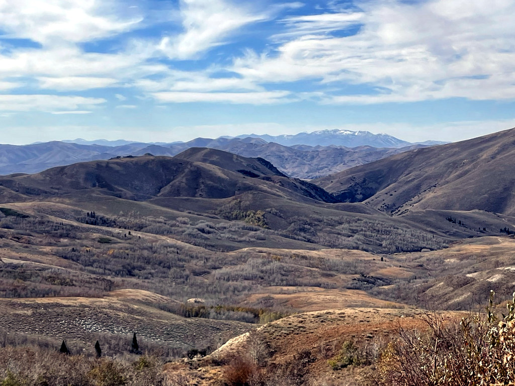 Pine CreekHiking · ~39 min drivePhoto: simonov, CC BY-SA 2.0 (via Flickr)
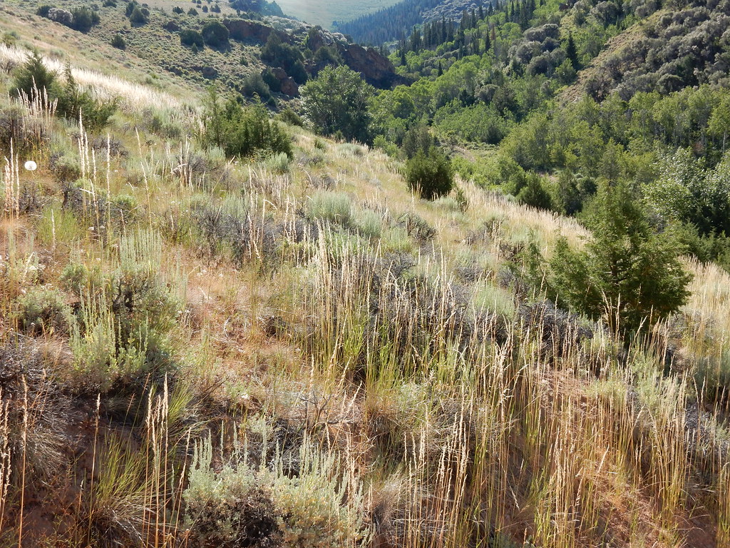 Jenny CreekHiking · ~40 min drivePhoto: Matt Lavin, CC BY-SA 2.0 (via Flickr)
 Jenny CreekHiking · ~42 min drivePhoto: Matt Lavin, CC BY-SA 2.0 (via Flickr)
- Gulch Spur AHiking · ~2 min drive
- JennyHiking · ~41 min drivePhoto: Matt Lavin, CC BY-SA 2.0 (via Flickr)
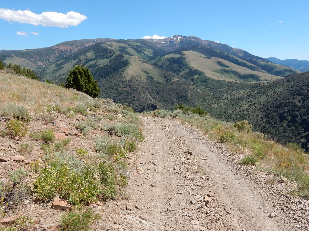 Clover TrailHiking · ~40 min drivePhoto: Matt Lavin, CC BY-SA 2.0 (via Flickr)
- DipHiking · ~3 min drive
 West Marys River to Camp DrawHiking · ~43 min drivePhoto: simonov, CC BY-SA 2.0 (via Flickr)
 Altitude TrailHiking · ~45 min drivePhoto: Matt Lavin, CC BY-SA 2.0 (via Flickr)
- SUMMITT SPUR AHiking · ~4 min drive
Also worth it near here
Best time to visit WALKER 1
Best months: June–September. Best months have typical highs of 55–85 °F, lows of 30 °F or warmer (32 °F where the station doesn't record snow), at most one snowy day and no more than 12 wet days.
Jan
33° / 5°
11 wet · 9 snow
Feb
36° / 8°
10 wet · 8 snow
Mar
44° / 17°
10 wet · 7 snow
Apr
52° / 25°
10 wet · 5 snow
May
62° / 30°
10 wet · 2 snow
Jun
73° / 36°
6 wet
Jul
85° / 41°
4 wet
Aug
83° / 39°
4 wet
Sep
74° / 31°
4 wet
Oct
59° / 23°
6 wet · 2 snow
Nov
45° / 16°
8 wet · 5 snow
Dec
34° / 7°
11 wet · 9 snow
Typical high / low (°F) and days with rain or snow, 1991–2020. Measured at Wild Horse Rsvr, NV, 18.7 mi away at 6,239 ft. The station sits about 800 ft lower than this place, so expect it a little cooler here. Source: NOAA NCEI U.S. Climate Normals 1991–2020.

