Copper Mountain
 Photo: Famartin, CC BY-SA 3.0 (via Wikimedia Commons)
- 9,914 ft
- summit
- Forest Service
- managed by
Copper Mountain is a summit of about 9,914 feet in Elko County, Nevada, within the Humboldt-Toiyabe National Forest's Mountain City-Ruby Mountains-Jarbidge Ranger District. The Forest Service manages the land, and the nearest town is Jarbidge, about 8.6 miles away. Coon Creek, Pine Creek and Danger Trail are hikes within about 3 miles of the peak. Pine Creek Campground sits roughly 6.6 miles away for anyone looking to camp nearby.
Conditions and forecast
Daily highs and lows, wind and the chance of precipitation at the summit for the next 7 days, from the Open-Meteo model.
- Summit elevation
- 9,914 ft
- Land manager
- Forest Service
Elevation from USGS 3D Elevation Program terrain data (about 10 m resolution).
We don't know of a mapped trail or route to the summit of Copper Mountain. Plan the approach with local maps, a guidebook or a local guide, and check conditions before you go.
Questions about Copper Mountain
How tall is Copper Mountain?
9,914 ft (3,022 m).
Is there a trail to the top of Copper Mountain?
We don't know of a mapped trail or route to the summit. Plan the approach with local maps, a guidebook or a local guide.
- Coon CreekHiking2.3 mi
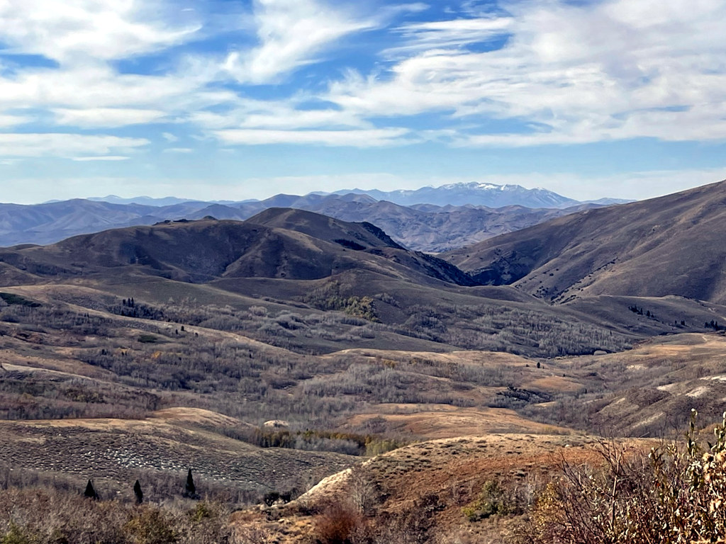 Pine CreekHikingPhoto: simonov, CC BY-SA 2.0 (via Flickr)2.9 mi
- Danger TrailHiking3.2 mi
- Pine Creek CampgroundCamping6.6 mi
- Lower Bluster CampgroundCamping6.9 mi
- Upper Bluster CampgroundCamping7 mi
- Jarbidge RiverRiver fishing8 mi
 Bruneau RiverCanoeingPhoto: BLM, Public domain (via Wikimedia Commons)8.1 mi
Source: Roamze catalog (indexable pages within 10 miles, PostGIS distance)


