Snowshed Trail #246
At a glance
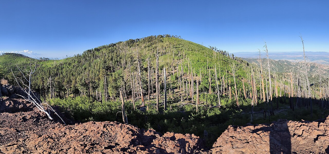
Snowshed Trail #246 is a 16.9-mile out-and-back hike in Arizona's Chiricahua Wilderness, within the Douglas Ranger District of Coronado National Forest. The trail climbs from about 5,300 feet to 9,272 feet, a gain of 1,211 feet, and is rated hard. The Forest Service manages the land. The route is a long, steep climb. It starts at the lower end of the trail and works its way up to the high point, which sits just short of 9,300 feet. Horses are allowed, but bikes are not. Snowshed Peak Trail #364 lies about 0.4 miles away, and the Crest Trail #270D is about 0.8 miles off. For an overnight base, Herb Martyr and Sycamore campgrounds are both within about 4 miles.
- round trip
- 16.9 mi
- climb
- 1,211 ft
- high point
- 9,272 ft
- route
- Out and back
- time
- About 6 hours
Where it is: Chiricahua Wilderness · Douglas Ranger District
Near: Rodeo
Been here? Tell people how it was.
 Crest Trail #270DHikingPhoto: Jon Roanhaus, CC BY-SA 4.0 (via Wikimedia Commons)~1 min drive
- Long Park Trail #42DHikingPhoto: Jon Roanhaus, CC BY-SA 4.0 (via Wikimedia Commons)~6 min drive
 Rasberry Ridge Trail #228HikingPhoto: Clay Gilliland, CC BY-SA 2.0 (via Flickr)~6 min drive
- Baker Canyon Trail #225Hiking~5 min drive
- Ojo Agua FriaHiking~1 min drive
- Snowshed Peak Trail #364HikingNext door
- Price Canyon Trail #224Hiking~4 min drive
- Morse CanyonHiking~5 min drive
- Crest Trail #270CHiking~3 min drive
- Crest Trail #270CHiking~2 min drive
Conditions and forecast
Caution todayAgency alerts are in effect for this areaUSFS · checked 10 h agoDaily highs and lows, wind and the chance of precipitation at Start for the next 7 days, from the Open-Meteo model.

Ask about this place
Questions about Snowshed Trail #246: conditions, access, timing. Answers say when something isn't known.
Map and trail data © OpenStreetMap contributors
