Nopah Peak
 Photo: Stan Shebs, CC BY-SA 3.0 (via Wikimedia Commons)
At a glance
Nopah Peak is a summit of 6,371 feet in the Nopah Range Wilderness, on land managed by the Bureau of Land Management's Barstow Field Office in California. The nearest town is Charleston View, about 11 miles away. Late spring and early fall are the most comfortable times to go. Typical averages from a nearby weather station at a similar elevation show May highs around 63°F with lows near 37°F, and September highs around 72°F with lows near 44°F. That station sits higher than the peak, so temperatures on top run a little cooler. The Old Spanish National Historic Trail lies about 9 miles away and makes an easy addition to a trip to the area.
- summit
- 6,371 ft
- managed by
- Bureau of Land Management
- best months
- May–Oct
Where it is: Nopah Range Wilderness · Barstow Field Office
Near: Pahrump
Best time to visit Nopah Peak
Best months: May–October. Best months have typical highs of 55–85 °F, lows of 30 °F or warmer (32 °F where the station doesn't record snow), at most one snowy day and no more than 12 wet days.
Jan
44°
22°
6 wet
Feb
44°
22°
6 wet
Mar
49°
26°
6 wet
Apr
55°
30°
4 wet
May
63°
37°
4 wet
Jun
74°
46°
2 wet
Jul
79°
52°
5 wet
Aug
78°
52°
6 wet
Sep
72°
44°
4 wet
Oct
62°
35°
3 wet
Nov
51°
27°
4 wet
Dec
44°
21°
5 wet
Typical high / low (°F) and days with rain or snow, 1991–2020. Measured at Mt Charleston Fire Stn, NV, 29.7 mi away at 7,460 ft. The station sits about 1,100 ft higher than this place, so expect it a little warmer here. This station doesn't record snowfall. Source: NOAA NCEI U.S. Climate Normals 1991–2020.
Been here? Tell people how it was.
We don't know of a mapped trail or route to the summit of Nopah Peak. Plan the approach with local maps, a guidebook or a local guide, and check conditions before you go.
 Charleston Peak11,918 ft · Nevada3 routes28 mi awayPhoto: Stan Shebs, CC BY-SA 3.0 (via Wikimedia Commons)
 Turtlehead Mountain6,322 ft · Nevada1 route37 mi awayPhoto: Stan Shebs, CC BY-SA 3.0 (via Wikimedia Commons)
 Zabriskie Point713 ft · California1 route49 mi awayPhoto: Christian David, CC BY-SA 4.0 (via Wikimedia Commons)
- Corn Creek Dunes2,959 ft · Nevada1 route50 mi away
 Gass Peak6,938 ft · Nevada1 route57 mi awayPhoto: VegasScorpion, CC BY-SA 3.0 (via Wikimedia Commons)
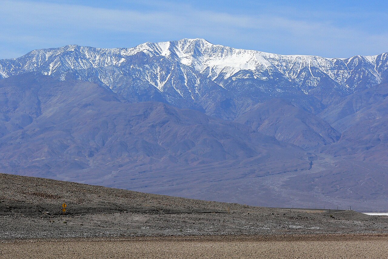 Telescope Peak11,041 ft · California1 route57 mi awayPhoto: Stan Shebs, CC BY-SA 3.0 (via Wikimedia Commons)
 Dumont DunesSummitPhoto: Photo by Doc Searls, CC BY-SA 2.0 (via Wikimedia Commons)~42 min drive
- Charleston PeakSummitPhoto: Stan Shebs, CC BY-SA 3.0 (via Wikimedia Commons)~48 min drive
 Rainbow MountainSummitPhoto: Stan Shebs, CC BY-SA 3.0 (via Wikimedia Commons)~58 min drive
 Mount WilsonSummitPhoto: Stan Shebs, CC BY-SA 3.0 (via Wikimedia Commons)~58 min drive
 Bridge MountainSummitPhoto: Sascha Noyes, CC BY-SA 3.0 (via Wikimedia Commons)~59 min drive
 White Rock HillsSummitPhoto: BLM Nevada, CC BY 2.0 (via Wikimedia Commons)~59 min drive
- Turtlehead MountainSummitPhoto: Stan Shebs, CC BY-SA 3.0 (via Wikimedia Commons)~1h 4m drive
 Dantes ViewSummitPhoto: Roger469, Public domain (via Wikimedia Commons)~1h 6m drive
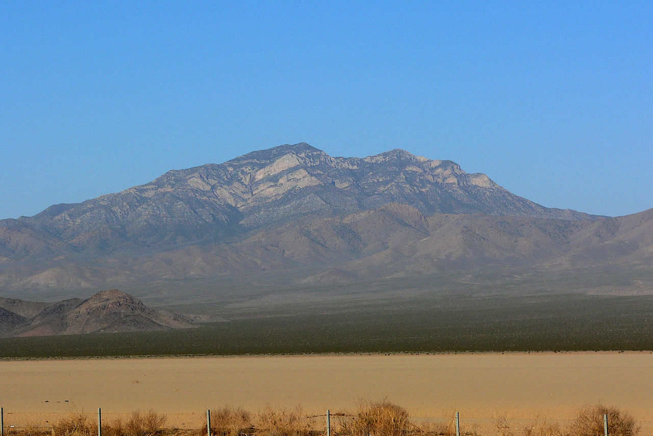 Clark MountainSummitPhoto: Stan Shebs, CC BY-SA 3.0 (via Wikimedia Commons)~1h 15m drive
 Artists PaletteSummitPhoto: Christian David, CC BY-SA 4.0 (via Wikimedia Commons)~1h 20m drive
Conditions and forecast
Daily highs and lows, wind and the chance of precipitation at the summit for the next 7 days, from the Open-Meteo model.
Questions about Nopah Peak
How tall is Nopah Peak?
6,371 ft (1,942 m).
Is there a trail to the top of Nopah Peak?
We don't know of a mapped trail or route to the summit. Plan the approach with local maps, a guidebook or a local guide.


Ask about this place
Questions about Nopah Peak: conditions, access, timing. Answers say when something isn't known.
