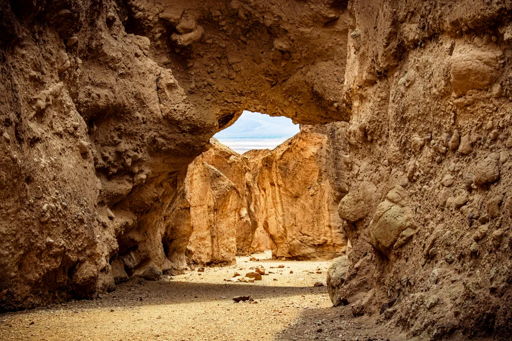
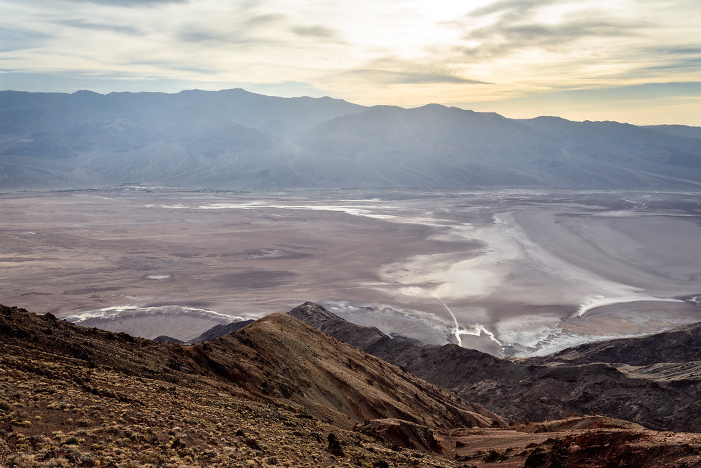
Dantes View
 Photo: Roger469, Public domain (via Wikimedia Commons)
- 5,479 ft
- summit
- National Park Service
- managed by
Is Dantes View open right now?
No closures listed
The National Park Service lists no closures for Death Valley National Park.
As of · Source: NPS · Death Valley National Park. Agencies don't list every closure — check before you go.
Dantes View is a summit in Inyo County, California, rising to about 5,479 feet inside Death Valley National Park, which the National Park Service manages. The nearest town is Furnace Creek, about 16.5 miles away. For another outing nearby, Natural Bridge is a hike about 4.9 miles from the summit.
Conditions and forecast
Daily highs and lows, wind and the chance of precipitation at the summit for the next 7 days, from the Open-Meteo model.
- Summit elevation
- 5,479 ft
- Land manager
- National Park Service
Elevation from USGS 3D Elevation Program terrain data (about 10 m resolution).
We don't know of a mapped trail or route to the summit of Dantes View. Plan the approach with local maps, a guidebook or a local guide, and check conditions before you go.
Questions about Dantes View
How tall is Dantes View?
5,479 ft (1,670 m).
Is there a trail to the top of Dantes View?
We don't know of a mapped trail or route to the summit. Plan the approach with local maps, a guidebook or a local guide.
 Zabriskie Point713 ft · California1 route15 mi awayPhoto: Christian David, CC BY-SA 4.0 (via Wikimedia Commons)
- Rogers Peak9,974 ft · California1 route20 mi away
- Wildrose Peak9,065 ft · California1 route20 mi away
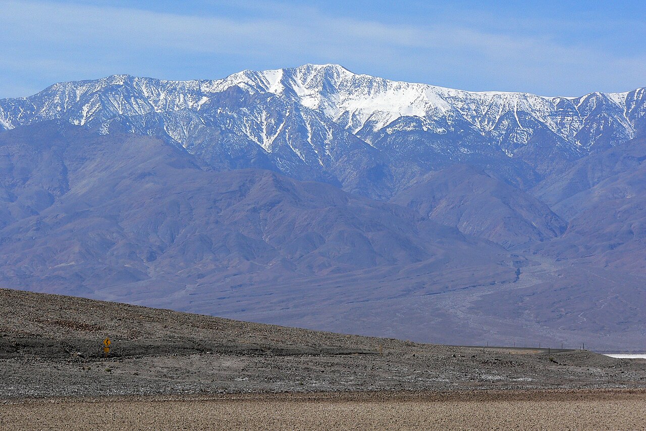 Telescope Peak11,041 ft · California1 route21 mi awayPhoto: Stan Shebs, CC BY-SA 3.0 (via Wikimedia Commons)
- Corkscrew Peak5,793 ft · California1 route41 mi away
- Thimble Peak6,372 ft · California1 route44 mi away
Source: Roamze catalog (indexable pages within 10 miles, PostGIS distance)
 Artists PaletteSummit · ~19 min drivePhoto: Christian David, CC BY-SA 4.0 (via Wikimedia Commons)
- Zabriskie PointSummit · ~25 min drivePhoto: Christian David, CC BY-SA 4.0 (via Wikimedia Commons)
 Aguereberry PointSummit · ~35 min drivePhoto: Clyde Charles Brown, CC BY-SA 4.0 (via Wikimedia Commons)
- Telescope PeakSummit · ~35 min drivePhoto: Stan Shebs, CC BY-SA 3.0 (via Wikimedia Commons)
 Nopah PeakSummit · ~1h 6m drivePhoto: Stan Shebs, CC BY-SA 3.0 (via Wikimedia Commons)
 Dumont DunesSummit · ~1h 20m drivePhoto: Photo by Doc Searls, CC BY-SA 2.0 (via Wikimedia Commons)
- Manly BeaconSummit · ~26 min drive
- Rogers PeakSummit · ~34 min drive
- Wildrose PeakSummit · ~34 min drive
- Corkscrew PeakSummit · ~1h 10m drive