Dumont Dunes
 Photo: Photo by Doc Searls, CC BY-SA 2.0 (via Wikimedia Commons)
- 1,078 ft
- summit
- Bureau of Land Management
- managed by
- Nov–Apr
- best months
Dumont Dunes is a summit in San Bernardino County, California, sitting at about 1,078 feet on land managed by the Bureau of Land Management's Barstow Field Office. The nearest town is Tecopa, about 10 miles away. Spring and fall are the most comfortable times to visit. Typical averages from a nearby weather station in Baker show March highs around 77°F and November highs around 72°F, while July averages about 110°F. Several trails lie within a short drive. Salt Creek Hills Interpretive Walking Trail is about 4 miles away, and Saddle Peak Hills and the Amargosa Trail are each roughly 8 miles off.
Conditions and forecast
Daily highs and lows, wind and the chance of precipitation at the summit for the next 7 days, from the Open-Meteo model.
- Summit elevation
- 1,078 ft
- Land manager
- Bureau of Land Management
Elevation from USGS 3D Elevation Program terrain data (about 10 m resolution).
We don't know of a mapped trail or route to the summit of Dumont Dunes. Plan the approach with local maps, a guidebook or a local guide, and check conditions before you go.
Questions about Dumont Dunes
How tall is Dumont Dunes?
1,078 ft (329 m).
Is there a trail to the top of Dumont Dunes?
We don't know of a mapped trail or route to the summit. Plan the approach with local maps, a guidebook or a local guide.
 Charleston Peak11,918 ft · Nevada3 routes51 mi awayPhoto: Stan Shebs, CC BY-SA 3.0 (via Wikimedia Commons)
 Turtlehead Mountain6,322 ft · Nevada1 route56 mi awayPhoto: Stan Shebs, CC BY-SA 3.0 (via Wikimedia Commons)
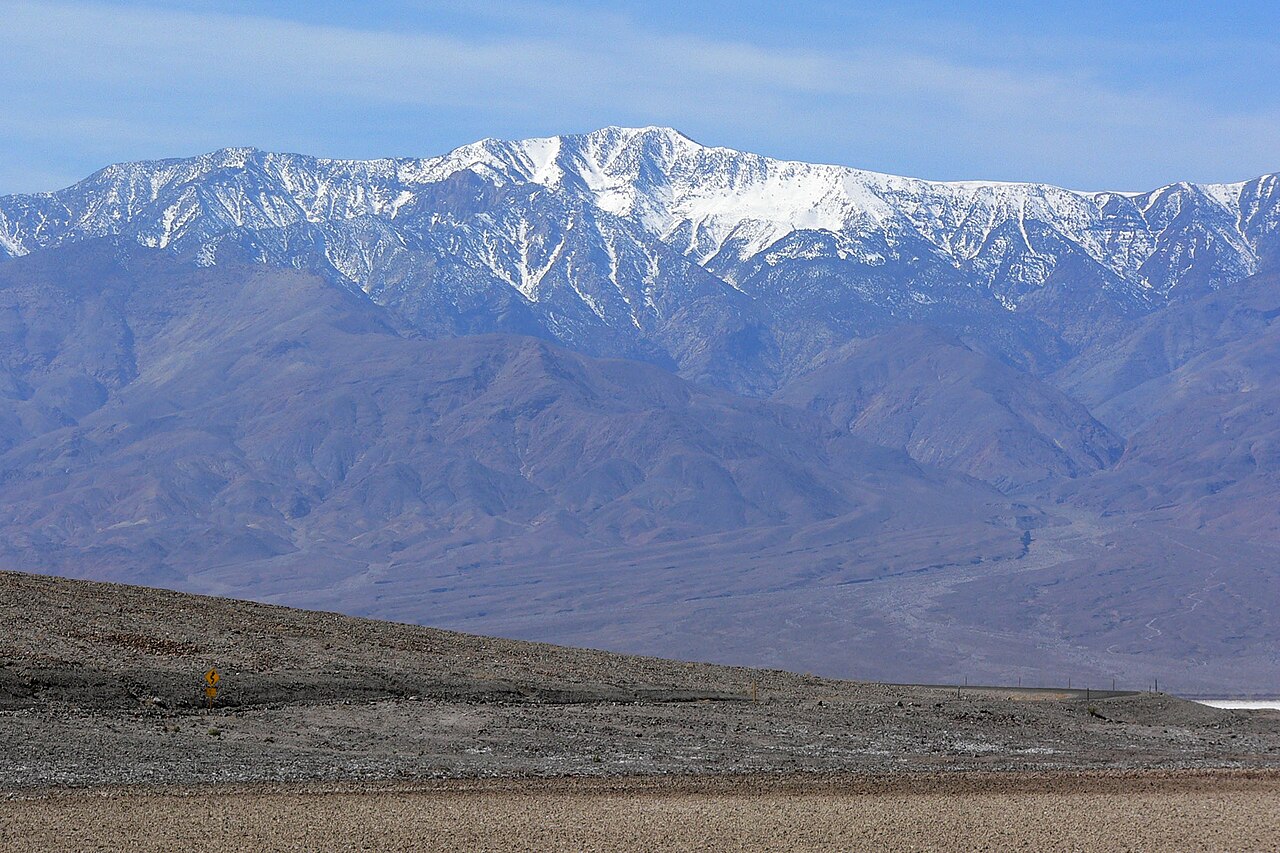 Telescope Peak11,041 ft · California1 route59 mi awayPhoto: Stan Shebs, CC BY-SA 3.0 (via Wikimedia Commons)
 Zabriskie Point713 ft · California1 route61 mi awayPhoto: Christian David, CC BY-SA 4.0 (via Wikimedia Commons)
- Rogers Peak9,974 ft · California1 route61 mi away
- Wildrose Peak9,065 ft · California1 route63 mi away
- Salt Creek Hills Interpretive Walking TrailHiking4.3 mi
- Saddle Peak HillsHiking7.7 mi
- Saddle Peak Hills TrailHiking7.7 mi
 Amargosa TrailHikingPhoto: Šarūnas Burdulis from USA, CC BY-SA 2.0 (via Wikimedia Commons)8.3 mi
- Amargosa River TrailHikingPhoto: Šarūnas Burdulis from USA, CC BY-SA 2.0 (via Wikimedia Commons)8.6 mi
Source: Roamze catalog (indexable pages within 10 miles, PostGIS distance)
 Nopah PeakSummit · ~42 min drivePhoto: Stan Shebs, CC BY-SA 3.0 (via Wikimedia Commons)
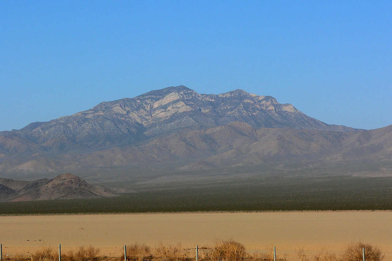 Clark MountainSummit · ~1h 5m drivePhoto: Stan Shebs, CC BY-SA 3.0 (via Wikimedia Commons)
 Potosi MountainSummit · ~1h 18m drivePhoto: Stan Shebs, CC BY-SA 3.0 (via Wikimedia Commons)
 Dantes ViewSummit · ~1h 20m drivePhoto: Roger469, Public domain (via Wikimedia Commons)
Best time to visit Dumont Dunes
Best months: November–April. Best months have typical highs of 55–85 °F, lows of 30 °F or warmer (32 °F where the station doesn't record snow), at most one snowy day and no more than 12 wet days.
Jan
63° / 35°
3 wet
Feb
69° / 40°
4 wet
Mar
77° / 46°
3 wet
Apr
84° / 53°
1 wet
May
93° / 62°
1 wet
Jun
104° / 72°
0 wet
Jul
110° / 78°
1 wet
Aug
108° / 76°
1 wet
Sep
101° / 68°
1 wet
Oct
87° / 54°
1 wet
Nov
72° / 42°
2 wet
Dec
62° / 33°
2 wet
Typical high / low (°F) and days with rain or snow, 1991–2020. Measured at Baker, CA, 29.3 mi away at 962 ft. Source: NOAA NCEI U.S. Climate Normals 1991–2020.
