Telescope Peak
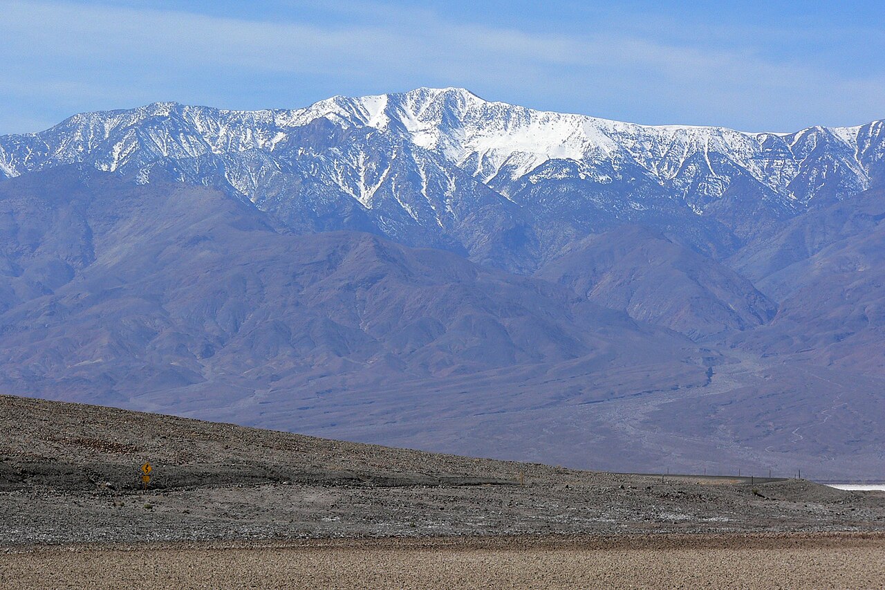 Photo: Stan Shebs, CC BY-SA 3.0 (via Wikimedia Commons)
- 11,041 ft
- summit
- 1
- way up
- National Park Service
- managed by
Is Telescope Peak open right now?
No closures listed
The National Park Service lists no closures for Death Valley National Park.
As of · Source: NPS · Death Valley National Park. Agencies don't list every closure — check before you go.
Telescope Peak is a summit in California's Death Valley National Park, inside the Death Valley Wilderness. The land is managed by the National Park Service, and the nearest town is Furnace Creek, about 21.5 miles away. If you're counting on fuel there, plan to fill up during the day. Several other routes lie close by. Hanaupah Canyon hiking route is about 2.9 miles away, and the cross-country route to Rogers Peak is about 3 miles away. A bit farther out are Wildrose Peak, about 5.4 miles away, and Surprise Canyon hiking route, about 6.2 miles away.
Conditions and forecast
Daily highs and lows, wind and the chance of precipitation at the summit and route start for the next 7 days, from the Open-Meteo model.
- Summit elevation
- 11,041 ft
- Land manager
- National Park Service
Elevation from USGS 3D Elevation Program terrain data (about 10 m resolution).
Map © Mapbox © OpenStreetMap contributors Questions about Telescope Peak
How tall is Telescope Peak?
11,041 ft (3,365 m).
How many routes go to the summit of Telescope Peak?
One: Telescope Peak.
- Rogers Peak9,974 ft · California1 route3.4 mi away
- Wildrose Peak9,065 ft · California1 route7.3 mi away
 Zabriskie Point713 ft · California1 route23 mi awayPhoto: Christian David, CC BY-SA 4.0 (via Wikimedia Commons)
- Corkscrew Peak5,793 ft · California1 route42 mi away
- Thimble Peak6,372 ft · California1 route44 mi away
- Ubehebe Peak5,676 ft · California1 route45 mi away
- Hanaupah Canyon hiking routeHiking2.9 mi
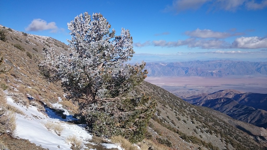 X-country route to Rogers PeakHikingPhoto: theforestprimeval, CC BY-SA 2.0 (via Flickr)3 mi
 Wildrose PeakHikingPhoto: Greg Willis from Denver, CO, usa, CC BY-SA 2.0 (via Wikimedia Commons)5.4 mi
 Surprise Canyon hiking routeHikingPhoto: Roebot, CC BY-SA 2.0 (via Flickr)6.2 mi
Source: Roamze catalog (indexable pages within 10 miles, PostGIS distance)
 Aguereberry PointSummit · ~23 min drivePhoto: Clyde Charles Brown, CC BY-SA 4.0 (via Wikimedia Commons)
 Dantes ViewSummit · ~35 min drivePhoto: Roger469, Public domain (via Wikimedia Commons)
 Artists PaletteSummit · ~36 min drivePhoto: Christian David, CC BY-SA 4.0 (via Wikimedia Commons)
- Zabriskie PointSummit · ~40 min drivePhoto: Christian David, CC BY-SA 4.0 (via Wikimedia Commons)
 Silver PeakSummit · ~59 min drivePhoto: sdold, CC BY-SA 3.0 (via Wikimedia Commons)
 The GrandstandSummit · ~1h 17m drivePhoto: Manoseca, Public domain (via Wikimedia Commons)
- Rogers PeakSummit · ~6 min drive
- Wildrose PeakSummit · ~13 min drive
- Manly BeaconSummit · ~39 min drive
- Corkscrew PeakSummit · ~1h 11m drive
Also worth it near here

