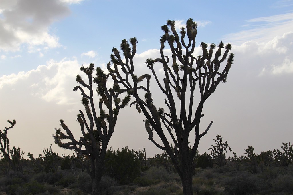
Sunrise Rocks Campsite
Campground
Campground · 15 mi from the trail
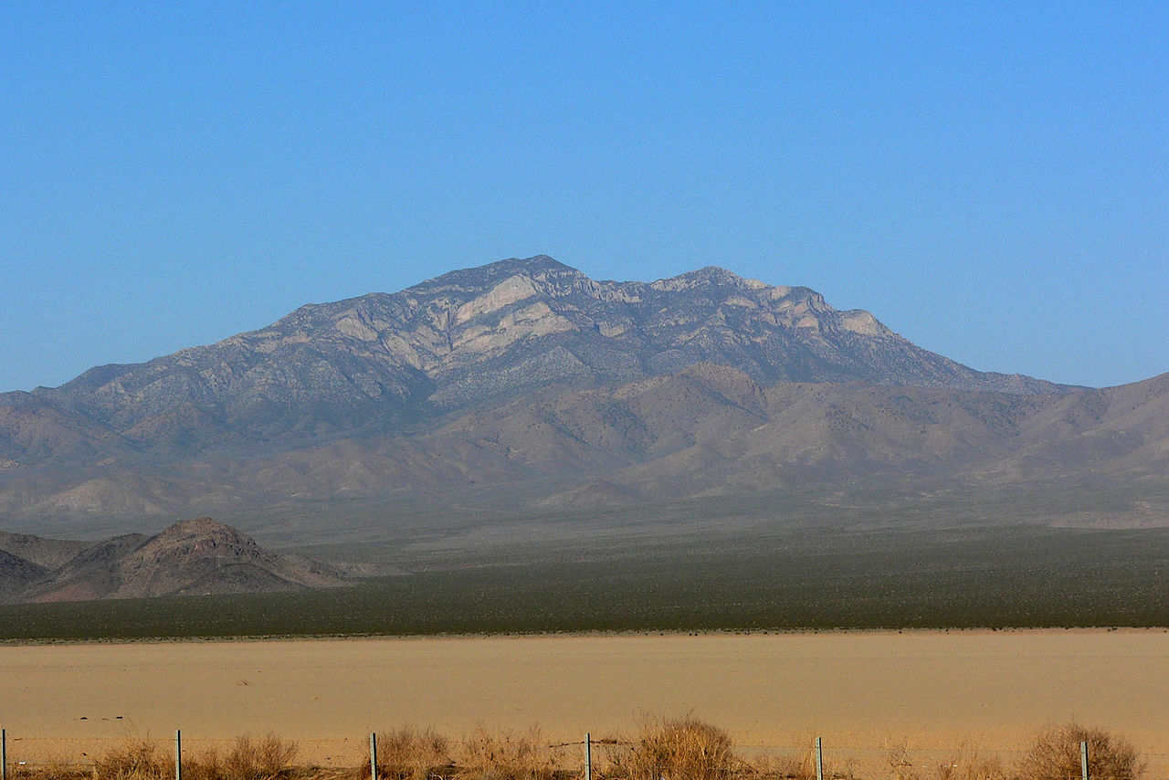 Photo: Stan Shebs, CC BY-SA 3.0 (via Wikimedia Commons)
Closure in the area
There's a closure order in Mojave National Preserve. It doesn't name Clark Mountain, so check the source for the area it covers (3 listed).
Road Closure South Kelbaker Road I-40 to Kelso and Kelso Dunes Road
Park closure covering Mojave National Preserve · NPS · Mojave National Preserve
Kelso Depot Visitor Center closed
Park closure covering Mojave National Preserve · NPS · Mojave National Preserve
Hart Mine Road Closed
Park closure covering Mojave National Preserve · NPS · Mojave National Preserve
Do not pick up hitchhikers
Park alert covering Mojave National Preserve · NPS · Mojave National Preserve
As of · Source: NPS · Mojave National Preserve. Agencies don't list every closure — check before you go.
Clark Mountain is a summit of about 7,927 feet in San Bernardino County, California, inside Mojave National Preserve and the Mojave Wilderness. The National Park Service manages the land, and the nearest town is Sandy Valley, Nevada, about 22 miles away. The closest nearby hike is Morning, about 1.4 miles away.
Sunrise Rocks Campsite
Campground
Places © Overture Maps Foundation
More in Sandy ValleyDaily highs and lows, wind and the chance of precipitation at the summit for the next 7 days, from the Open-Meteo model.
Elevation from USGS 3D Elevation Program terrain data (about 10 m resolution).
We don't know of a mapped trail or route to the summit of Clark Mountain. Plan the approach with local maps, a guidebook or a local guide, and check conditions before you go.
7,927 ft (2,416 m).
We don't know of a mapped trail or route to the summit. Plan the approach with local maps, a guidebook or a local guide.


Source: Roamze catalog (indexable pages within 10 miles, PostGIS distance)
 Potosi MountainSummit · ~53 min drivePhoto: Stan Shebs, CC BY-SA 3.0 (via Wikimedia Commons)
 Dumont DunesSummit · ~1h 5m drivePhoto: Photo by Doc Searls, CC BY-SA 2.0 (via Wikimedia Commons)
 Mount WilsonSummit · ~1h 8m drivePhoto: Stan Shebs, CC BY-SA 3.0 (via Wikimedia Commons)
 Rainbow MountainSummit · ~1h 10m drivePhoto: Stan Shebs, CC BY-SA 3.0 (via Wikimedia Commons)
 Bridge MountainSummit · ~1h 13m drivePhoto: Sascha Noyes, CC BY-SA 3.0 (via Wikimedia Commons)
 Nopah PeakSummit · ~1h 15m drivePhoto: Stan Shebs, CC BY-SA 3.0 (via Wikimedia Commons)
 White Rock HillsSummit · ~1h 17m drivePhoto: BLM Nevada, CC BY 2.0 (via Wikimedia Commons)Turtlehead MountainSummit · ~1h 19m drivePhoto: Stan Shebs, CC BY-SA 3.0 (via Wikimedia Commons)