Main Wall - South
At a glance
Main Wall - South is a climbing area in the Payson Ranger District of Tonto National Forest in Arizona, managed by the Forest Service. It sits about 0.1 mile from Main Wall - North and Oz Buttress, so the three areas make a compact cluster for climbers to explore together. The climbing here is a mix of sport and trad routes, with 12 sport routes and 9 trad routes among the 22 listed. The YDS grades run from 5.8- up to 5.11c, with the median around 5.10b/c. Some of the named routes include Cherry Picker (5.8- trad), Arrogant Bastard (5.10- sport) and Taming AmyG Dala (5.11c sport). Spring and fall are the most comfortable times to visit. Typical averages from a nearby weather station show April highs around 70°F and October highs around 74°F, while July averages about 91°F. The Arizona Trail and Oak Spring Trail 16 are both about 0.7 mile away, and Sharp Creek Group campground is about a mile off.
22 routes · 5.8- – 5.11c · Sport · Trad · Top Rope
- best months
- Feb–May, Sep–Nov
Where it is: Payson Ranger District · Tonto National Forest
Near: Pine
Best time to visit Main Wall - South
Best months: February–May and September–November. Best months have typical highs of 55–85 °F, lows of 30 °F or warmer (32 °F where the station doesn't record snow), at most one snowy day and no more than 12 wet days.
Jan
54°
30°
Feb
57°
32°
Mar
64°
36°
Apr
70°
41°
May
79°
48°
Jun
88°
58°
Jul
91°
65°
Aug
89°
62°
Sep
84°
57°
Oct
74°
46°
Nov
63°
36°
Dec
53°
30°
Typical high / low (°F) and days with rain or snow, 1991–2020. Measured at Natural Brg, AZ, 2.7 mi away at 4,608 ft. The station sits about 600 ft lower than this place, so expect it a little cooler here. This station doesn't record snowfall. Source: NOAA NCEI U.S. Climate Normals 1991–2020.
Been here? Tell people how it was.
- Main Wall - NorthRock climbing0.1 mi
- Oz ButtressRock climbing0.1 mi
- Oak Spring Trail 16Hiking0.7 mi
- Arizona TrailHiking0.7 mi
- Sharp Creek GroupCamping1 mi
 East Verde RiverCanoeingPhoto: Richard N Horne, CC BY-SA 4.0 (via Wikimedia Commons)5.4 mi
- Houston Mesa CgCamping9.7 mi
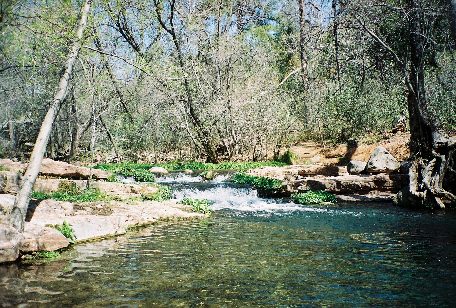 Fossil CreekCanoeingPhoto: Gonzo fan2007, CC BY-SA 3.0 (via Wikimedia Commons)9.9 mi
 West Clear CreekRock climbingPhoto: Coconino National Forest, CC BY-SA 2.0 (via Wikimedia Commons)~22 min drive
 Anti-CragRock climbingPhoto: Coconino National Forest, CC BY-SA 2.0 (via Wikimedia Commons)~22 min drive
- West Clear CreekRock climbingPhoto: Coconino National Forest, CC BY-SA 2.0 (via Wikimedia Commons)~23 min drive
- Log Jam areaRock climbingPhoto: Coconino National Forest, CC BY-SA 2.0 (via Wikimedia Commons)~23 min drive
- John Doe WallRock climbingPhoto: Coconino National Forest, CC BY-SA 2.0 (via Wikimedia Commons)~23 min drive
- Middle SectionRock climbingPhoto: Coconino National Forest, CC BY-SA 2.0 (via Wikimedia Commons)~23 min drive
 John Rae DomeRock climbingPhoto: https://www.flickr.com/photos/cogdog/, CC BY-SA 2.0 (via Wikimedia Commons)~24 min drive
- Whipper WallRock climbingPhoto: https://www.flickr.com/photos/cogdog/, CC BY-SA 2.0 (via Wikimedia Commons)~24 min drive
 Stewart PocketRock climbingPhoto: https://www.flickr.com/photos/cogdog/, CC BY-SA 2.0 (via Wikimedia Commons)~24 min drive
- Stewart PeakRock climbingPhoto: https://www.flickr.com/photos/cogdog/, CC BY-SA 2.0 (via Wikimedia Commons)~25 min drive
Also worth it near here
- Sharp Creek GroupCamping~2 min drive
 Pine View Trail #28HikingPhoto: cogdogblog, Public Domain Dedication (CC0) (via Flickr)~3 min drive
 Good EnoughMountain bikingPhoto: Coconino National Forest, CC BY-SA 2.0 (via Wikimedia Commons)~4 min drive
 Strawberry MountainSummitPhoto: Cogdog, CC BY-SA 3.0 (via Wikimedia Commons)~4 min drive
Conditions and forecast
Daily highs and lows, wind and the chance of precipitation at Main Wall - South for the next 7 days, from the Open-Meteo model.
Ask about this place
Questions about Main Wall - South: conditions, access, timing. Answers say when something isn't known.
