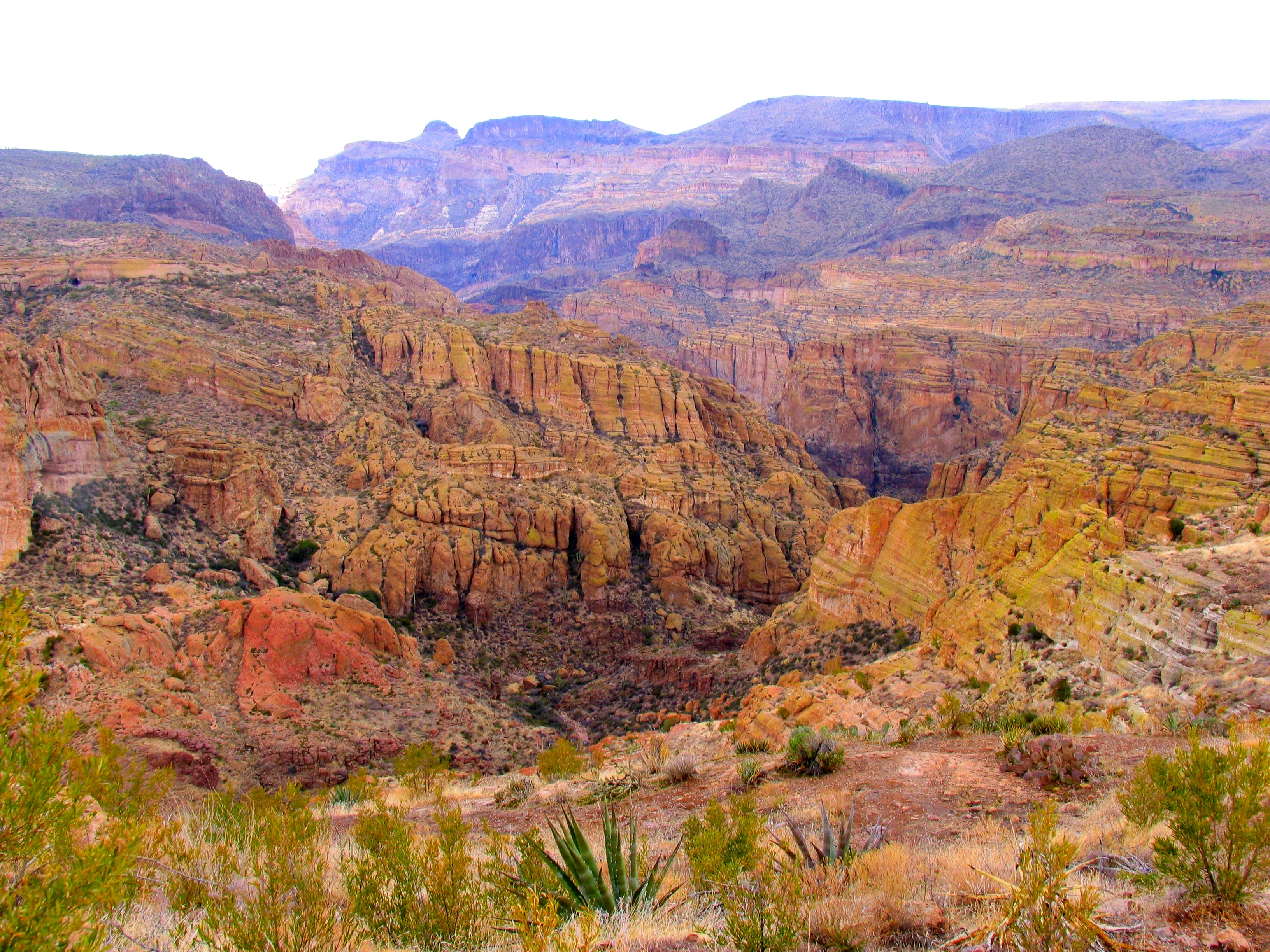
About Tonto National Forest
Tonto National Forest spans over 2 million acres across central Arizona, offering diverse terrain and recreation across multiple climate zones. The forest encompasses a mix of desert, chaparral, and higher-elevation woodland, with access to dispersed camping throughout the landscape. Visitors can fish in streams and lakes, hunt in designated seasons, and explore numerous trails suitable for day hiking and backpacking.
Scenicdrives wind through the forest, providing access to pullouts and trailheads. The terrain and elevation changes mean conditions vary significantly by location—lower elevations can be hot and dry, while higher areas offer cooler conditions. Most visitors come during spring and fall when temperatures are moderate. Summer brings monsoon thunderstorms, particularly in July and August, while winter snows at elevation can limit access on some roads and trails.
Know before you go
1:08 PM
Sunrise
7:21 PM
Solar Noon
1:34 AM
Sunset
Golden Hour AM → 1:41 PM
Golden Hour PM ← 1:02 AM
🌒
Waxing Crescent
13% illuminated
Peak Season End
Closes in 16 days
September — September conditions
Nearby Trails
Things to Do
Campgrounds & Shelters
Plan Your Trip
Let Roamze help you plan the perfect adventure at Tonto National Forest.
