Mount Rose Campground
Campground
3.7 mi from the trail
 Photo: simonov, CC BY-SA 2.0 (via Flickr)
Jones Creek is a short, easy out-and-back hike of about 0.8 miles in the Carson Ranger District of Humboldt-Toiyabe National Forest in Nevada. The trail rises roughly 150 feet over the course of the trip, and the Forest Service manages the surrounding land. Summer is the most comfortable time to go. Typical averages from the nearby Incline Village weather station run to highs of about 76°F in July and August, with lows near 50°F. Winter highs there average in the low 40s. Several other routes sit close by. Bitterbush Trail is about 0.2 miles away and Jones Creek Loop about 0.3 miles. Galena Trail is about half a mile off. For an overnight stay, Mt. Rose Campground lies roughly 4 miles away.
Where it is: Carson Ranger District · Humboldt-Toiyabe National Forest
Near: Reno
Early April to mid-November is usually best for hiking here.
Typical highs of 47–77°F and lows of 30°F or warmer in those weeks.
Typical weather: NOAA 1991–2020 normals at Incline Village, NV, 9 mi away. Not a forecast.
Typical weather by monthBest months: April–November. Best months are the ones mostly made of the best weeks for hiking: typical temperatures in its comfortable range, few snowy days and not usually wet, judged with the same limits as our good-day forecasts.
Jan
41°
24°
Feb
42°
25°
Mar
45°
27°
Apr
50°
31°
May
59°
37°
Jun
68°
45°
Jul
76°
50°
Aug
76°
50°
Sep
71°
45°
Oct
59°
36°
Nov
50°
30°
Dec
41°
25°
Typical high / low (°F) and days with rain or snow, 1991–2020. Measured at Incline Village, NV, 8.9 mi away at 6,356 ft. We don't have this place's elevation, so higher spots nearby can run cooler. This station doesn't record snowfall. Source: NOAA NCEI U.S. Climate Normals 1991–2020.
Been here? Tell people how it was.
Galena Interp Loop TrailHikingPhoto: simonov, CC BY-SA 2.0 (via Flickr)~1 min drive Brown's Creek TrailHikingPhoto: Ryan Finnie, CC BY-SA 2.0 (via Flickr)~3 min drive
 Tamarack Lake TrailHikingPhoto: simonov — CC BY-SA 2.0 (via Flickr)~7 min drive
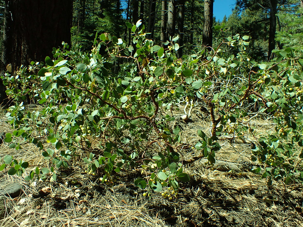 Dry PondHikingPhoto: Matt Lavin, CC BY-SA 2.0 (via Flickr)~4 min drive
 Church's PondHikingPhoto: simonov — CC BY-SA 2.0 (via Flickr)~2 min drive
 Thomas CreekHikingPhoto: simonov, CC BY-SA 2.0 (via Flickr)~4 min drive
 Upper Thomas Creek TrailHikingPhoto: Ken Lund, CC BY-SA 2.0 (via Flickr)~4 min drive
 Lower Thomas Creek TrailHikingPhoto: simonov, CC BY-SA 2.0 (via Flickr)~4 min drive
 Rim to RenoHikingPhoto: Ken Lund from Reno, Nevada, USA, CC BY-SA 2.0 (via Wikimedia Commons)~7 min drive
Also worth it near here
 Mount Rose Ski TahoeDownhill skiingPhoto: Beesmill, CC BY-SA 4.0 (via Wikimedia Commons)~5 min drive
 Mount RoseSummitPhoto: Mr. Richard from Fair Oaks, USA, CC BY 2.0 (via Wikimedia Commons)~5 min drive
 Tahoe Meadows Interpretive TraMountain bikingPhoto: Famartin, CC BY-SA 4.0 (via Wikimedia Commons)~7 min drive
Daily highs and lows, wind and the chance of precipitation at Start for the next 7 days, from the Open-Meteo model.
Questions about Jones Creek: conditions, access, timing. Answers say when something isn't known.
Mount Rose Campground
Campground
The Lodge, A Coffee + Wine Bar
Bar
Fox Cultural Hall
Museum
Places © OpenStreetMap contributors
More in Sunnyside-Tahoe CityNot on Roamze yet. Their page has how to reach them.
