Mount Rose Campground
Campground
Campground · 3.7 mi from the trail
 Photo: simonov — CC BY-SA 2.0 (via Flickr)
Closure in the area
There's a closure order in Carson Ranger District. It doesn't name Church's Pond, so check the source for the area it covers (2 listed).
Hawk Fire Closure (Carson Ranger District)
Agency closure covering Carson Ranger District · Order 04-17-26-01-08 · USFS · Carson Ranger District
Elephant Fire Closure
Agency closure covering Humboldt-Toiyabe National Forest · Order 04-17-26-01-04 · USFS · Humboldt-Toiyabe National Forest
Floriston Fire Closure
Agency alert covering Carson Ranger District · Order 17-26-24 · USFS · Carson Ranger District
Power line construction along SR 88, Alpine County, California (Carson Ranger District)
Agency alert covering Carson Ranger District · USFS · Carson Ranger District
Over-Snow Vehicle Closure (Carson Ranger District)
Agency alert covering Carson Ranger District · Order 04-17-25-12 · USFS · Carson Ranger District
As of · Source: USFS · Carson Ranger District. Agencies don't list every closure — check before you go.
Church's Pond is a short, easy hike in the Mt. Rose Wilderness, part of the Carson Ranger District of the Humboldt-Toiyabe National Forest in Nevada. The trail is about 1.2 miles long, with a one-way elevation gain of 248 feet, and it makes an out-and-back trip from a low point of about 8,096 feet to a high of about 8,357 feet. The route is on natural surface, and it is open to horses. Bikes are not allowed. The Forest Service manages the land, and the trail falls within the wilderness, so it is a designated backcountry route. The most comfortable stretch for a visit is typically from June through October. The trail is open seasonally from June 1 to October 15. Nearby, the Jones and Jones Creek hikes are both within about a mile and a half. Mt. Rose Campground is about 3.8 miles away, and the Galena High Boulders climbing area is about 5.5 miles off.
Mount Rose Campground
Campground
The Lodge, A Coffee + Wine Bar
Bar
Fox Cultural Hall
Museum
Places © OpenStreetMap contributors
More in Sunnyside-Tahoe CityNot on Roamze yet. Their page has how to reach them.
 Photo: simonov, CC BY-SA 2.0 (via Flickr)
Jones
~1 min drive
8.81-mile loop trail in Nevada with 1,746 ft gain.
 Photo: simonov, CC BY-SA 2.0 (via Flickr)
Jones Creek
~2 min drive
0.78-mile out-and-back trail at Jones Creek in Nevada with 148 ft of elevation gain.
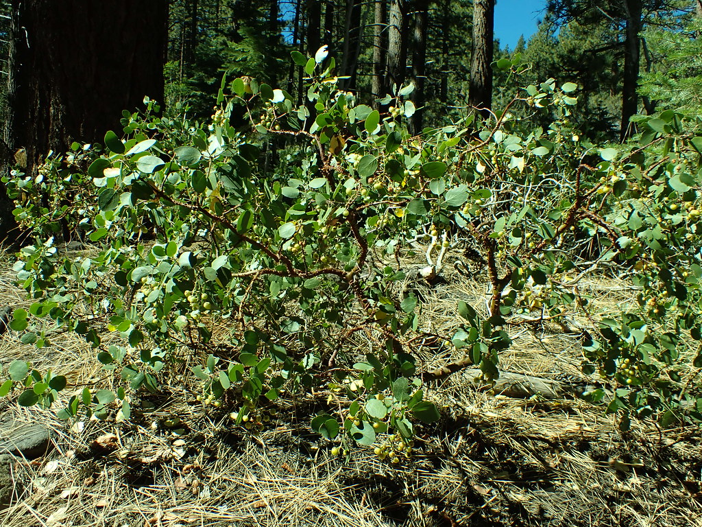 Photo: Matt Lavin, CC BY-SA 2.0 (via Flickr)
Dry Pond
~4 min drive
4.20-mile out-and-back trail in Nevada with 471 ft gain.
 Photo: simonov — CC BY-SA 2.0 (via Flickr)
Tamarack Lake Trail
~6 min drive
4.96-mile out-and-back hike to Tamarack Lake in Nevada.
 Photo: simonov, CC BY-SA 2.0 (via Flickr)
Thomas Creek
~3 min drive
8.76-mile out-and-back trail in Nevada with 3,066 ft elevation gain.
Photo: simonov, CC BY-SA 2.0 (via Flickr)Galena trail
~3 min drive
0.72-mile loop trail in Nevada with 215 ft elevation gain
 Photo: Ken Lund, CC BY-SA 2.0 (via Flickr)
Upper Thomas Creek Trail
~5 min drive
2.40-mile out-and-back hike in Nevada with 1,035 ft elevation gain.
HIKE
Tahoe Rim Trail
~6 min drive
62.74-mile out-and-back trail in Nevada with 7,599 ft elevation gain
 Photo: Ken Lund from Reno, Nevada, USA, CC BY-SA 2.0 (via Wikimedia Commons)
Rim to Reno
~5 min drive
24.70-mile out-and-back trail in Nevada with 1,660 ft gain.
Photo: simonov, CC BY-SA 2.0 (via Flickr)Galena Interp Loop Trail
~3 min drive
0.66-mile out-and-back trail in Nevada with 39 ft of elevation gain.


