Davis Creek Campground
Campground
Campground · 5.9 mi from the trail
 Photo: simonov, CC BY-SA 2.0 (via Flickr)
Closure in the area
There's a closure order in Humboldt-Toiyabe National Forest. It doesn't name Lower Thomas Creek Trail, so check the source for the area it covers.
Elephant Fire Closure
Agency closure covering Humboldt-Toiyabe National Forest · Order 04-17-26-01-04 · USFS · Humboldt-Toiyabe National Forest
Floriston Fire Closure
Agency alert covering Carson Ranger District · Order 17-26-24 · USFS · Carson Ranger District
Power line construction along SR 88, Alpine County, California (Carson Ranger District)
Agency alert covering Carson Ranger District · USFS · Carson Ranger District
Over-Snow Vehicle Closure (Carson Ranger District)
Agency alert covering Carson Ranger District · Order 04-17-25-12 · USFS · Carson Ranger District
Area, Road, and Trail Closures (Spring Mountains National Recreation Area)
Agency alert covering Humboldt-Toiyabe National Forest · Order 04-17-25-04 · USFS · Humboldt-Toiyabe National Forest
As of · Source: USFS · Humboldt-Toiyabe National Forest. Agencies don't list every closure — check before you go.
Lower Thomas Creek Trail is an easy out-and-back hike in Nevada's Humboldt-Toiyabe National Forest, within the Carson Ranger District. The trail is about 1.5 miles long, with a total elevation gain of 565 feet, and it starts at 5,945 feet, the highest point on the route. The climb is back-loaded, with the steepest stretch at about 0.66 miles in, and the trail ends at the same elevation it begins. The most comfortable months for a visit are typically June and September, when typical averages from the nearby Virginia City weather station run around 74°F for highs and 53°F for lows. Winter brings highs in the low 40s and a few snow days each month from December through February. The Sierra Front Trail and Upper Thomas Creek Trail both lie about 0.1 mile away. Climbers can find Thomas Creek about 2 miles off, and Mount Rose Campground is roughly 6.4 miles away.
Davis Creek Campground
Campground
The Lodge, A Coffee + Wine Bar
Bar
Fox Cultural Hall
Museum
Places © OpenStreetMap contributors
More in Sunnyside-Tahoe CityNot on Roamze yet. Their page has how to reach them.
Sierra Front TrailHikingPhoto: simonov, CC BY-SA 2.0 (via Flickr)0.1 mi Upper Thomas Creek TrailHikingPhoto: Ken Lund, CC BY-SA 2.0 (via Flickr)0.1 mi
Source: Roamze catalog (indexable pages within 10 miles, PostGIS distance)
Sierra Front TrailHiking · Next doorPhoto: simonov, CC BY-SA 2.0 (via Flickr)Upper Thomas Creek TrailHiking · Next doorPhoto: Ken Lund, CC BY-SA 2.0 (via Flickr) JonesHiking · ~5 min drivePhoto: simonov, CC BY-SA 2.0 (via Flickr)
 Tamarack Lake TrailHiking · ~11 min drivePhoto: simonov — CC BY-SA 2.0 (via Flickr)Lower Thomas Creek TrailHiking · ~2 min drivePhoto: Ken Lund, CC BY-SA 2.0 (via Flickr)
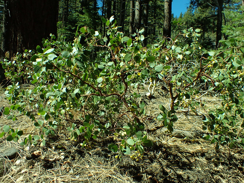 Dry PondHiking · ~3 min drivePhoto: Matt Lavin, CC BY-SA 2.0 (via Flickr)
 Steamboat Ditch TrailHiking · ~10 min drivePhoto: Ken Lund, CC BY-SA 2.0 (via Flickr)
 Galena Interp Loop TrailHiking · ~4 min drivePhoto: simonov, CC BY-SA 2.0 (via Flickr)
 Steamboat Ditch TrailHiking · ~12 min drivePhoto: Ken Lund, CC BY-SA 2.0 (via Flickr)
Best months: April–October. Best months have typical highs of 55–85 °F, lows of 30 °F or warmer (32 °F where the station doesn't record snow), at most one snowy day and no more than 12 wet days.
Jan
41° / 27°
5 wet · 4 snow
Feb
43° / 29°
5 wet · 4 snow
Mar
49° / 33°
4 wet · 3 snow
Apr
55° / 36°
3 wet · 1 snow
May
64° / 44°
3 wet
Jun
74° / 53°
2 wet
Jul
84° / 62°
1 wet
Aug
82° / 60°
1 wet
Sep
74° / 53°
1 wet
Oct
61° / 43°
2 wet
Nov
49° / 33°
4 wet · 2 snow
Dec
40° / 26°
5 wet · 4 snow
Typical high / low (°F) and days with rain or snow, 1991–2020. Measured at Virginia City, NV, 11.5 mi away at 6,340 ft. Source: NOAA NCEI U.S. Climate Normals 1991–2020.
Map and trail data © OpenStreetMap contributors


