

Upper Blue Lake Campground
Campground
2.1 mi from the trail
 Photo: Tom Hilton, CC BY 2.0 (via Wikimedia Commons)
Deadwood Peak is a summit of about 9,841 feet in Alpine County, California, inside the Mokelumne Wilderness. The peak falls within the Amador Ranger District of Eldorado National Forest, which the Forest Service manages. The nearest town is Kirkwood, about 5 miles away. Grouse Lake and Summit City Creek are both about a mile away, and the Mokelumne Wilderness climbing area is about 2.4 miles off. For an overnight base, Woods Lake Campground sits about 4 miles from the peak.
Where it is: Mokelumne Wilderness · Amador Ranger District
Near: South Lake Tahoe
Been here? Tell people how it was.
We don't know of a mapped trail or route to the summit of Deadwood Peak. Plan the approach with local maps, a guidebook or a local guide, and check conditions before you go.

 Talking MountainSummitPhoto: Peter, CC BY-SA 2.0 (via Wikimedia Commons)~25 min drive
 Ralston PeakSummitPhoto: Jonathan Fox, CC BY-SA 2.0 (via Wikimedia Commons)~26 min drive
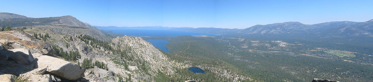 Echo PeakSummitPhoto: Peter, CC BY-SA 2.0 (via Wikimedia Commons)~28 min drive
 Freel PeakSummitPhoto: J Brew, CC BY-SA 2.0 (via Wikimedia Commons)~28 min drive
 Angora PeakSummitPhoto: Brian Sterling, CC BY-SA 2.0 (via Wikimedia Commons)~29 min drive
 Jobs SisterSummitPhoto: Tim Berger, CC BY 2.0 (via Wikimedia Commons)~29 min drive
 Jobs PeakSummitPhoto: beth woodrum from Kingman, Arizona, USA, CC BY 2.0 (via Wikimedia Commons)~30 min drive
 Mount PriceSummitPhoto: Jonathan Fox, CC BY-SA 2.0 (via Wikimedia Commons)~33 min drive
 Mount TallacSummitPhoto: Rabit 115 at English Wikipedia, Public domain (via Wikimedia Commons)~34 min drive
 Maggies PeaksSummitPhoto: Phreakdigital (talk · contribs), Public domain (via Wikimedia Commons)~38 min drive
Daily highs and lows, wind and the chance of precipitation at the summit for the next 7 days, from the Open-Meteo model.
9,841 ft (3,000 m).
We don't know of a mapped trail or route to the summit. Plan the approach with local maps, a guidebook or a local guide.
Questions about Deadwood Peak: conditions, access, timing. Answers say when something isn't known.
Upper Blue Lake Campground
Campground
Alpine County Museum
Museum
Places © OpenStreetMap contributors
More in Bear Valley