Jobs Peak
 Photo: beth woodrum from Kingman, Arizona, USA, CC BY 2.0 (via Wikimedia Commons)
- 10,620 ft
- summit
- Forest Service
- managed by
Is Jobs Peak open right now?
Closure in the area
There's a closure order in Humboldt-Toiyabe National Forest. It doesn't name Jobs Peak, so check the source for the area it covers.
Elephant Fire Closure
Agency closure covering Humboldt-Toiyabe National Forest · Order 04-17-26-01-04 · USFS · Humboldt-Toiyabe National Forest
Floriston Fire Closure
Agency alert covering Carson Ranger District · Order 17-26-24 · USFS · Carson Ranger District
Power line construction along SR 88, Alpine County, California (Carson Ranger District)
Agency alert covering Carson Ranger District · USFS · Carson Ranger District
Over-Snow Vehicle Closure (Carson Ranger District)
Agency alert covering Carson Ranger District · Order 04-17-25-12 · USFS · Carson Ranger District
Area, Road, and Trail Closures (Spring Mountains National Recreation Area)
Agency alert covering Humboldt-Toiyabe National Forest · Order 04-17-25-04 · USFS · Humboldt-Toiyabe National Forest
As of · Source: USFS · Humboldt-Toiyabe National Forest. Agencies don't list every closure — check before you go.
Jobs Peak is a summit of about 10,620 feet in Alpine County, California, on the Carson Ranger District of the Humboldt-Toiyabe National Forest. The Forest Service manages the land, and the nearest town is Mesa Vista, about 4.5 miles away. The Freel Peak to Jobs Sister and Jobs Peak Trail starts about half a mile away, and the Jobs Peak Trail is about 1.8 miles off. For an overnight base, Hope Valley campground sits about 4.6 miles away, and Kit Carson Campground is about 5.9 miles away.
Conditions and forecast
Daily highs and lows, wind and the chance of precipitation at the summit for the next 7 days, from the Open-Meteo model.
- Summit elevation
- 10,620 ft
- Land manager
- Forest Service
Elevation from USGS 3D Elevation Program terrain data (about 10 m resolution).
We don't know of a mapped trail or route to the summit of Jobs Peak. Plan the approach with local maps, a guidebook or a local guide, and check conditions before you go.
Questions about Jobs Peak
How tall is Jobs Peak?
10,620 ft (3,237 m).
Is there a trail to the top of Jobs Peak?
We don't know of a mapped trail or route to the summit. Plan the approach with local maps, a guidebook or a local guide.
 Jobs Sister10,819 ft · California1 route1.3 mi awayPhoto: Tim Berger, CC BY 2.0 (via Wikimedia Commons)
 Freel Peak10,877 ft · California2 routes2.1 mi awayPhoto: J Brew, CC BY-SA 2.0 (via Wikimedia Commons)
- Gardner Mountain6,396 ft · California1 route9.0 mi away
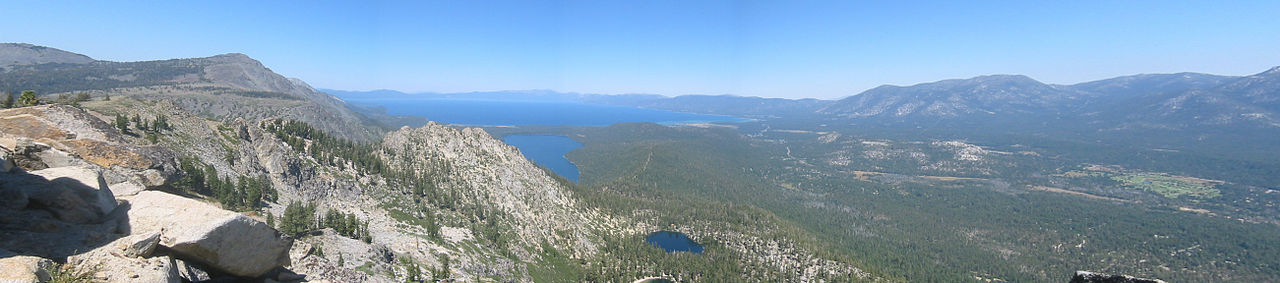 Echo Peak8,885 ft · California1 route11 mi awayPhoto: Peter, CC BY-SA 2.0 (via Wikimedia Commons)
 Ralston Peak9,230 ft · California1 route13 mi awayPhoto: Jonathan Fox, CC BY-SA 2.0 (via Wikimedia Commons)
- Two Sentinels8,822 ft · California2 routes16 mi away
- Freel Peak to Jobs Sister and Jobs Peak TrailHiking0.5 mi
- Jobs Peak TrailHiking1.8 mi
 West Fork Carson RiverCanoeingPhoto: Skooiman at English Wikipedia, Public domain (via Wikimedia Commons)3.3 mi
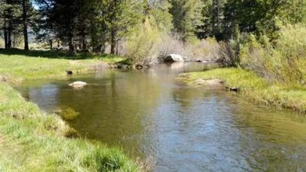 Hope ValleyCampingPhoto: Recreation.gov (RIDB) / public domain4.6 mi
 MuralsRock climbingPhoto: Ken Lund, CC BY-SA 2.0 (via Flickr)5.7 mi
- Apron CragsRock climbing5.7 mi
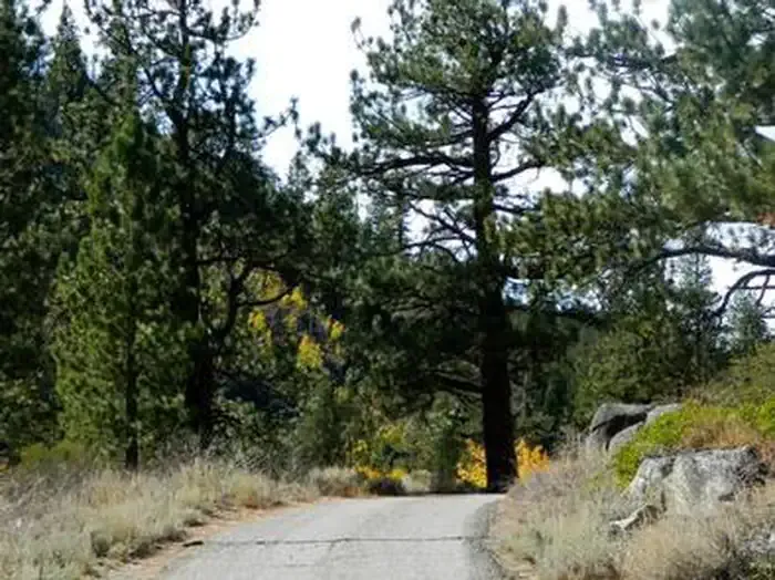 Kit Carson CampgroundCampingPhoto: Recreation.gov (RIDB) / public domain5.9 mi
- Trout CreekCanoeing5.9 mi
Source: Roamze catalog (indexable pages within 10 miles, PostGIS distance)
- Jobs SisterSummit · ~2 min drivePhoto: Tim Berger, CC BY 2.0 (via Wikimedia Commons)
- Freel PeakSummit · ~4 min drivePhoto: J Brew, CC BY-SA 2.0 (via Wikimedia Commons)
 Angora PeakSummit · ~20 min drivePhoto: Brian Sterling, CC BY-SA 2.0 (via Wikimedia Commons)
- Echo PeakSummit · ~20 min drivePhoto: Peter, CC BY-SA 2.0 (via Wikimedia Commons)
- Ralston PeakSummit · ~22 min drivePhoto: Jonathan Fox, CC BY-SA 2.0 (via Wikimedia Commons)
 Mount TallacSummit · ~23 min drivePhoto: Rabit 115 at English Wikipedia, Public domain (via Wikimedia Commons)
 Maggies PeaksSummit · ~25 min drivePhoto: Phreakdigital (talk · contribs), Public domain (via Wikimedia Commons)
 Pyramid PeakSummit · ~27 min drivePhoto: Phreakdigital at English Wikipedia, Public domain (via Wikimedia Commons)
 Mount PriceSummit · ~29 min drivePhoto: Jonathan Fox, CC BY-SA 2.0 (via Wikimedia Commons)
 Deadwood PeakSummit · ~30 min drivePhoto: Tom Hilton, CC BY 2.0 (via Wikimedia Commons)
Also worth it near here
 Lonesome TrailHiking · ~4 min drivePhoto: Jim Morefield, CC BY-SA 2.0 (via Flickr)
- West Fork Carson RiverCanoeing · ~6 min drivePhoto: Skooiman at English Wikipedia, Public domain (via Wikimedia Commons)
- Hope ValleyCamping · ~8 min drive
- MuralsRock climbing · ~10 min drivePhoto: Ken Lund, CC BY-SA 2.0 (via Flickr)
