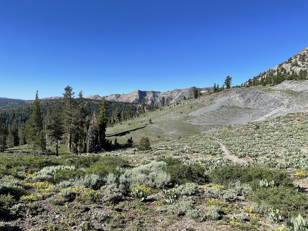
Elephant's Graveyard
Elephant's Graveyard is a climbing area in California with 1 route.
- 1 route
- 5.10b
- Mixed
Is Elephant's Graveyard open right now?
Closure in the area
There's a closure order in Carson Ranger District. It doesn't name Elephant's Graveyard, so check the source for the area it covers (3 listed).
Hawk Fire Closure (Carson Ranger District)
Agency closure covering Carson Ranger District · Order 04-17-26-01-08 · USFS · Carson Ranger District
Emergency Recreation Shooting Order (Carson Ranger District)
Agency closure covering Carson Ranger District · Order 04-17-26-01-05 · USFS · Carson Ranger District
Elephant Fire Closure
Agency closure covering Humboldt-Toiyabe National Forest · Order 04-17-26-01-04 · USFS · Humboldt-Toiyabe National Forest
Floriston Fire Closure
Agency alert covering Carson Ranger District · Order 17-26-24 · USFS · Carson Ranger District
Power line construction along SR 88, Alpine County, California (Carson Ranger District)
Agency alert covering Carson Ranger District · USFS · Carson Ranger District
As of · Source: USFS · Carson Ranger District. Agencies don't list every closure — check before you go.
Best time to visit Elephant's Graveyard
Best months: May–October. Best months have typical highs of 55–85 °F, lows of 30 °F or warmer (32 °F where the station doesn't record snow), at most one snowy day and no more than 12 wet days.
Jan
36° / 23°
9 wet
Feb
37° / 23°
8 wet
Mar
42° / 26°
7 wet
Apr
48° / 29°
5 wet
May
56° / 35°
4 wet
Jun
66° / 42°
2 wet
Jul
75° / 49°
2 wet
Aug
74° / 49°
1 wet
Sep
67° / 44°
2 wet
Oct
55° / 36°
3 wet
Nov
43° / 28°
5 wet
Dec
35° / 23°
7 wet
Typical high / low (°F) and days with rain or snow, 1991–2020. Measured at Dagget Pass, NV, 22 mi away at 7,334 ft. The station sits about 1,200 ft lower than this place, so expect it a little cooler here. This station doesn't record snowfall. Source: NOAA NCEI U.S. Climate Normals 1991–2020.
Elephant's Graveyard is a climbing area in California's Mokelumne Wilderness, within the Carson Ranger District of the Humboldt-Toiyabe National Forest. The Forest Service manages the land, and the area sits inside designated wilderness. Summer is the most comfortable time to visit. Typical averages from a nearby weather station at Dagget Pass, Nevada, show July highs around 75°F with lows near 49°F and only about one or two wet days a month. That station sits roughly 1,200 feet below the area, so temperatures here run cooler. The climbing here is a single mixed route, Unnamed 5.10b, which is listed as a 5.10b in the YDS system. Green Wall Cliff, another climbing area, is just 0.2 miles away. Summit City and Camp Irene Trail are both within about a mile for hiking, and Woods Lake Campground is about 2 miles off.
Routes (1)
Gold Wall(1)
Keep exploring — more climbs worth the drive
 Photo: sarahstierch, CC0 (via Flickr)
The Basement
~12 min drive
7 bouldering routes at Basement in California
Photo: sarahstierch, CC0 (via Flickr)The Freaks
~12 min drive
9 bouldering routes in California spanning 7 difficulty grades.
 Photo: jfdervin, CC BY-SA 2.0 (via Flickr)
Emigrant Wall
~16 min drive
Emigrant Wall in California offers 15 climbing routes across 6 grades, with sport and trad options.
 Photo: Ken Lund, CC BY-SA 2.0 (via Flickr)
Murals
~16 min drive
Murals in California has 7 climbing routes.
 Photo: simonov, CC BY-SA 2.0 (via Flickr)
Echo Summit
~18 min drive
Echo Summit in California has 6 bouldering routes across 3 difficulty grades.
Mokelumne Wilderness
~3 min drive
Mokelumne Wilderness has 4 climbing routes in California.
Caples Lake
~6 min drive
Caples Lake in California has 10 climbing routes across 6 grades.
Carson Pass Highway (88)
~6 min drive
Carson Pass Highway (88) in California has 9 climbing routes with bouldering pads and trad.
Boulder Geek
~14 min drive
Boulder Geek is a 5-route bouldering crag in California with routes ranging across 5 difficulty grades.
Erratica Central
~14 min drive
Erratica Central in California has 2 bouldering routes graded 5.10a to 5.12a.