Upper Blue Lake Campground
Campground
Campground · 1.8 mi from the trail
 Photo: Kurt Minard, CC BY-SA 3.0 (via Wikimedia Commons)
Alert in the area
The Forest Service lists 2 alerts for Eldorado National Forest.
Help Halt Golden Mussel Invasion
Agency alert covering Eldorado National Forest · USFS · Eldorado National Forest
Deer Valley Trail (19E01) & Meadow Lake Road (09N01)
Agency alert covering Eldorado National Forest · Order 03-24-05 · USFS · Eldorado National Forest
As of · Source: USFS · Eldorado National Forest. Agencies don't list every closure — check before you go.
Grouse Lake is a 5-mile out-and-back hike in the Mokelumne Wilderness, part of the Amador Ranger District of Eldorado National Forest in California. The Forest Service manages the land, and the trail is a natural-surface route with no designated bike access. The hike gains about 914 feet, starting at roughly 8,551 feet and reaching about 9,279 feet at the high point. It is rated moderate, and the climb is spread across the full 5 miles of the out-and-back. The Grouse Lake Trail lies about 2 miles away, and the Evergreen hike and Summit City Creek are each about 2.3 miles off. For an overnight stay, Woods Lake Campground is about 5.1 miles away.
Upper Blue Lake Campground
Campground
Alpine County Museum
Museum
Places © OpenStreetMap contributors
More in Bear ValleyNot on Roamze yet. Their page has how to reach them.
 Photo: Kurt Minard, CC BY-SA 3.0 (via Wikimedia Commons)
Grouse Lake Trail
~3 min drive
4.86-mile out-and-back hike in California with 970 ft gain/loss.
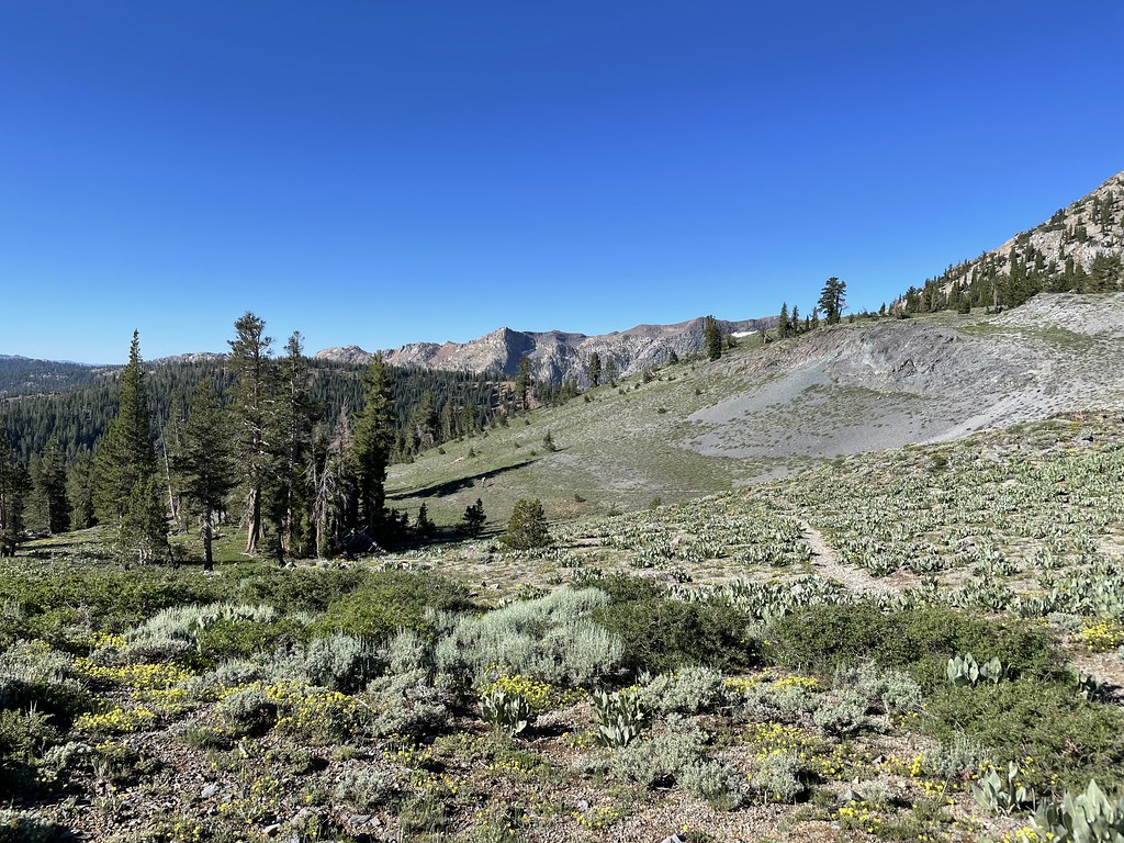 Photo: jfdervin, CC BY-SA 2.0 (via Flickr)
Summit City
~5 min drive
Summit City is a 6.40-mile out-and-back trail in California with 416 ft of elevation gain.
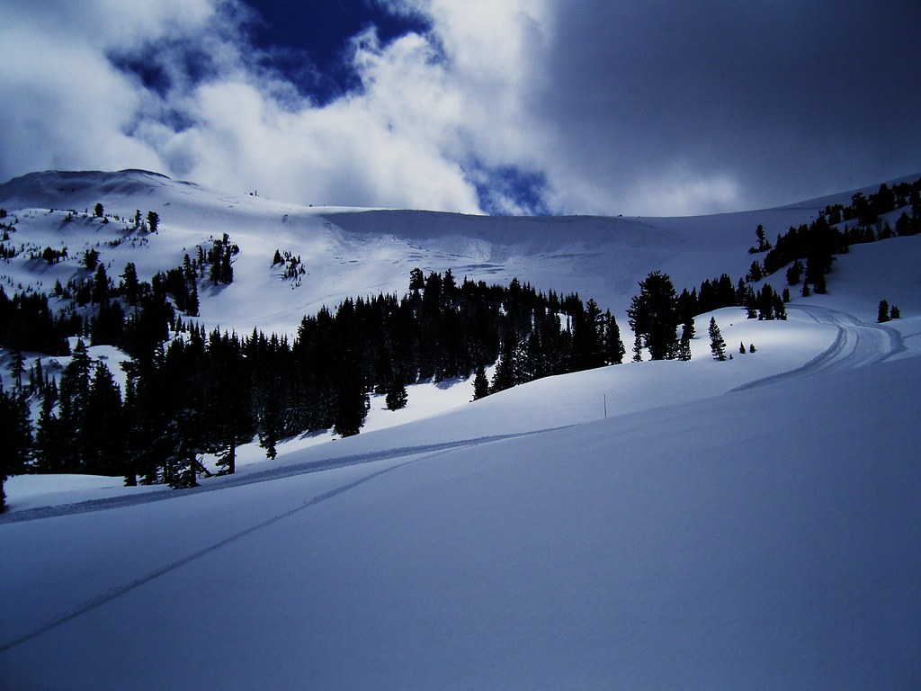 Photo: JLH PHOTO, CC BY 2.0 (via Flickr)
Carson Emigrant National Recreational Trail
~9 min drive
5.74-mile out-and-back trail in California with 2,349 ft elevation gain.
HIKE
Munson Meadow Trail
~11 min drive
15.64-mile out-and-back hike in California with 4,172 ft elevation gain.
 Photo: Dana L. Brown, CC BY-SA 2.0 (via Flickr)
PACIFIC CREST TRAIL
~8 min drive
2.32-mile out-and-back trail on the Pacific Crest Trail in California
 Photo: jturning, CC BY-SA 3.0 (via Wikimedia Commons)
Deer Valley 4Wd Trail
~6 min drive
6.36-mile out-and-back trail in California with 479 ft elevation gain.
 Photo: GSEC, CC BY 2.0 (via Flickr)
Willow Mdw
~12 min drive
4.96-mile out-and-back trail in California with 1,207 ft gain.
Photo: Dana L. Brown, CC BY-SA 2.0 (via Flickr)Carson Pass to Lake Winnemucca Trail
~8 min drive
2.48-mile out-and-back hike from Carson Pass to Lake Winnemucca in California.
 Photo: jfdervin, CC BY-SA 2.0 (via Flickr)
Camp Irene Trail
~7 min drive
8.3-mile out-and-back hike in California with 3,817 ft gain/loss and 9,406 ft max elevation.
 Photo: Ken Lund, CC BY-SA 2.0 (via Flickr)
CRATER LAKE TRAIL
~13 min drive
5.88-mile out-and-back trail in California with 2,434 ft elevation gain and loss.

