Hope Valley
Campground
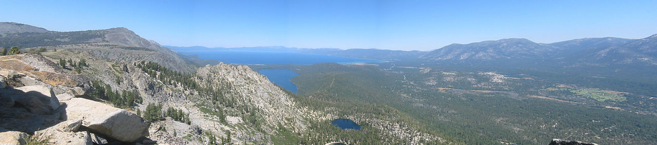
Campground · 3.2 mi from the trail
 Photo: J Brew, CC BY-SA 2.0 (via Wikimedia Commons)
Closure in the area
There's a closure order in Humboldt-Toiyabe National Forest. It doesn't name Freel Peak, so check the source for the area it covers.
Elephant Fire Closure
Agency closure covering Humboldt-Toiyabe National Forest · Order 04-17-26-01-04 · USFS · Humboldt-Toiyabe National Forest
Floriston Fire Closure
Agency alert covering Carson Ranger District · Order 17-26-24 · USFS · Carson Ranger District
Power line construction along SR 88, Alpine County, California (Carson Ranger District)
Agency alert covering Carson Ranger District · USFS · Carson Ranger District
Over-Snow Vehicle Closure (Carson Ranger District)
Agency alert covering Carson Ranger District · Order 04-17-25-12 · USFS · Carson Ranger District
Area, Road, and Trail Closures (Spring Mountains National Recreation Area)
Agency alert covering Humboldt-Toiyabe National Forest · Order 04-17-25-04 · USFS · Humboldt-Toiyabe National Forest
As of · Source: USFS · Humboldt-Toiyabe National Forest. Agencies don't list every closure — check before you go.
Freel Peak is a summit of about 10,877 feet in El Dorado County, California, on the Carson Ranger District of the Humboldt-Toiyabe National Forest. The Forest Service manages the land, and the nearest town is Mesa Vista, about 6 miles away. The Freel Peak Trail starts less than a mile from the summit. Star Lake Trail, a mountain biking route, is about 1.5 miles away. For an overnight base, Hope Valley campground sits about 3 miles off, and Kit Carson Campground is about 5.6 miles away.
Hope Valley
Campground
Sky Deck
Pub
Places © OpenStreetMap contributors
More in Sunnyside-Tahoe CityDaily highs and lows, wind and the chance of precipitation at the summit and route start for the next 7 days, from the Open-Meteo model.
Elevation from USGS 3D Elevation Program terrain data (about 10 m resolution).
| Freel Peak Trail | Freel Peak to Jobs Sister and Jobs Peak Trail | |
|---|---|---|
| Climbing | About 1,590 ft | About 3,001 ft |
| Round trip | 1.9 mi | 4.5 mi |
| Difficulty | Moderate | Hard |
| Terrain | Hike | Hike |
10,877 ft (3,315 m).
2: Freel Peak Trail and Freel Peak to Jobs Sister and Jobs Peak Trail.
Freel Peak Trail, about 1.9 mi round trip.


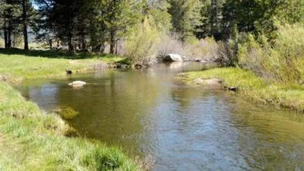 Hope ValleyCampingPhoto: Recreation.gov (RIDB) / public domain3.2 mi
 West Fork Carson RiverCanoeingPhoto: Skooiman at English Wikipedia, Public domain (via Wikimedia Commons)4.3 mi
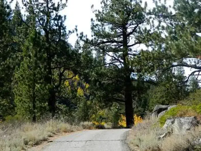 Kit Carson CampgroundCampingPhoto: Recreation.gov (RIDB) / public domain5.6 mi
Source: Roamze catalog (indexable pages within 10 miles, PostGIS distance)
Jobs SisterSummit · ~2 min drivePhoto: Tim Berger, CC BY 2.0 (via Wikimedia Commons) Jobs PeakSummit · ~4 min drivePhoto: beth woodrum from Kingman, Arizona, USA, CC BY 2.0 (via Wikimedia Commons)Echo PeakSummit · ~16 min drivePhoto: Peter, CC BY-SA 2.0 (via Wikimedia Commons)Ralston PeakSummit · ~19 min drivePhoto: Jonathan Fox, CC BY-SA 2.0 (via Wikimedia Commons)
 Mount TallacSummit · ~19 min drivePhoto: Rabit 115 at English Wikipedia, Public domain (via Wikimedia Commons)
 Maggies PeaksSummit · ~22 min drivePhoto: Phreakdigital (talk · contribs), Public domain (via Wikimedia Commons)
 Pyramid PeakSummit · ~24 min drivePhoto: Phreakdigital at English Wikipedia, Public domain (via Wikimedia Commons)
 Mount PriceSummit · ~25 min drivePhoto: Jonathan Fox, CC BY-SA 2.0 (via Wikimedia Commons)
 Thunder MountainSummit · ~28 min drivePhoto: Justin, CC BY 2.0 (via Wikimedia Commons)
 Deadwood PeakSummit · ~28 min drivePhoto: Tom Hilton, CC BY 2.0 (via Wikimedia Commons)
Also worth it near here
 High Meadows Spur TrailHiking · ~6 min drivePhoto: DaltonKat2, CC BY-SA 2.0 (via Flickr)West Fork Carson RiverCanoeing · ~7 min drivePhoto: Skooiman at English Wikipedia, Public domain (via Wikimedia Commons)
 Tahoe Rim TrailMountain biking · ~8 min drivePhoto: AT2663, CC BY-SA 3.0 (via Wikimedia Commons)
